
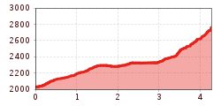
Difficulty:
easy
Length:
3.8 km
Duration:
1:15 h
Elevation uphill:
77 m
Kühtai - Pockkogel
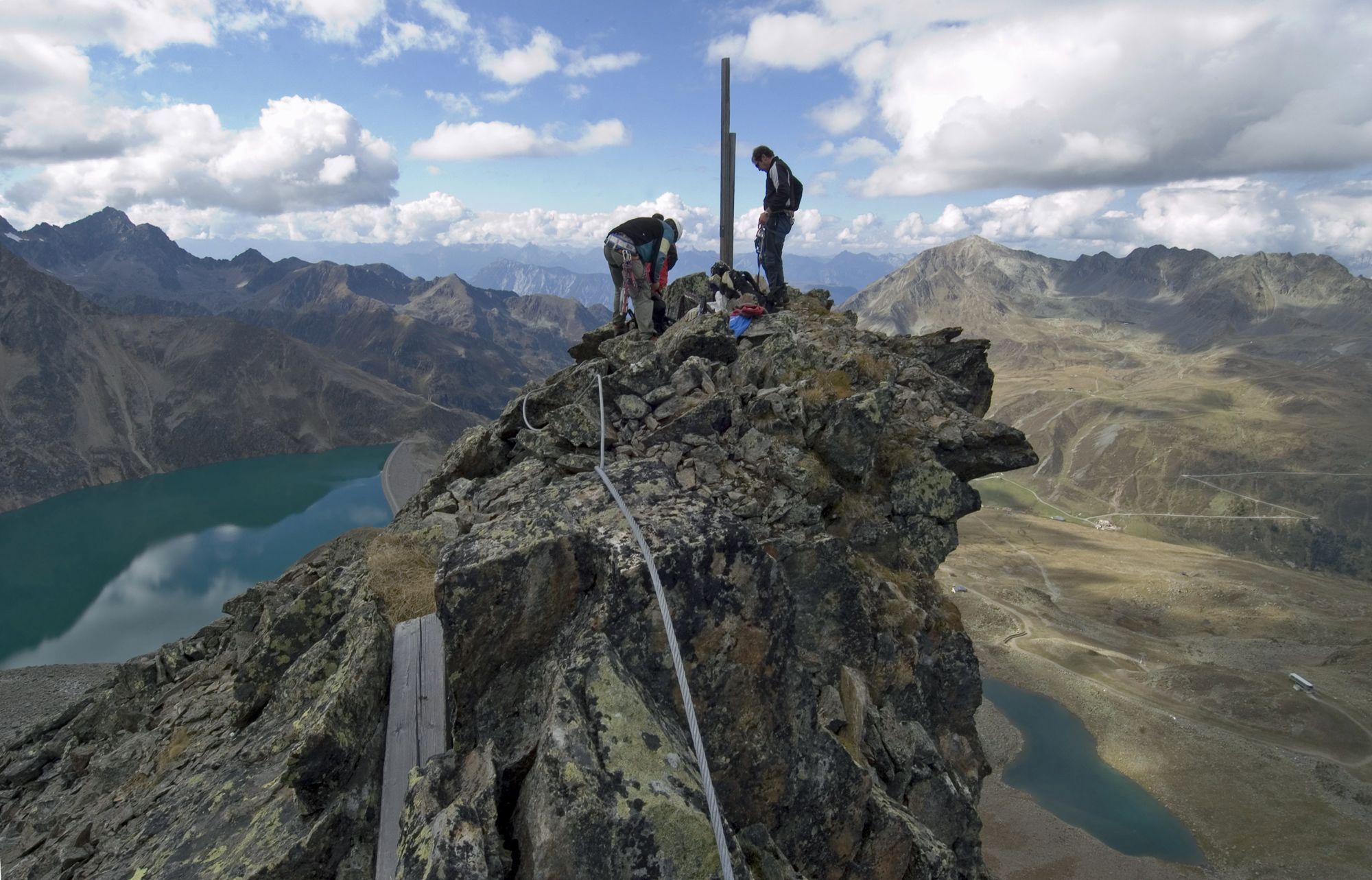
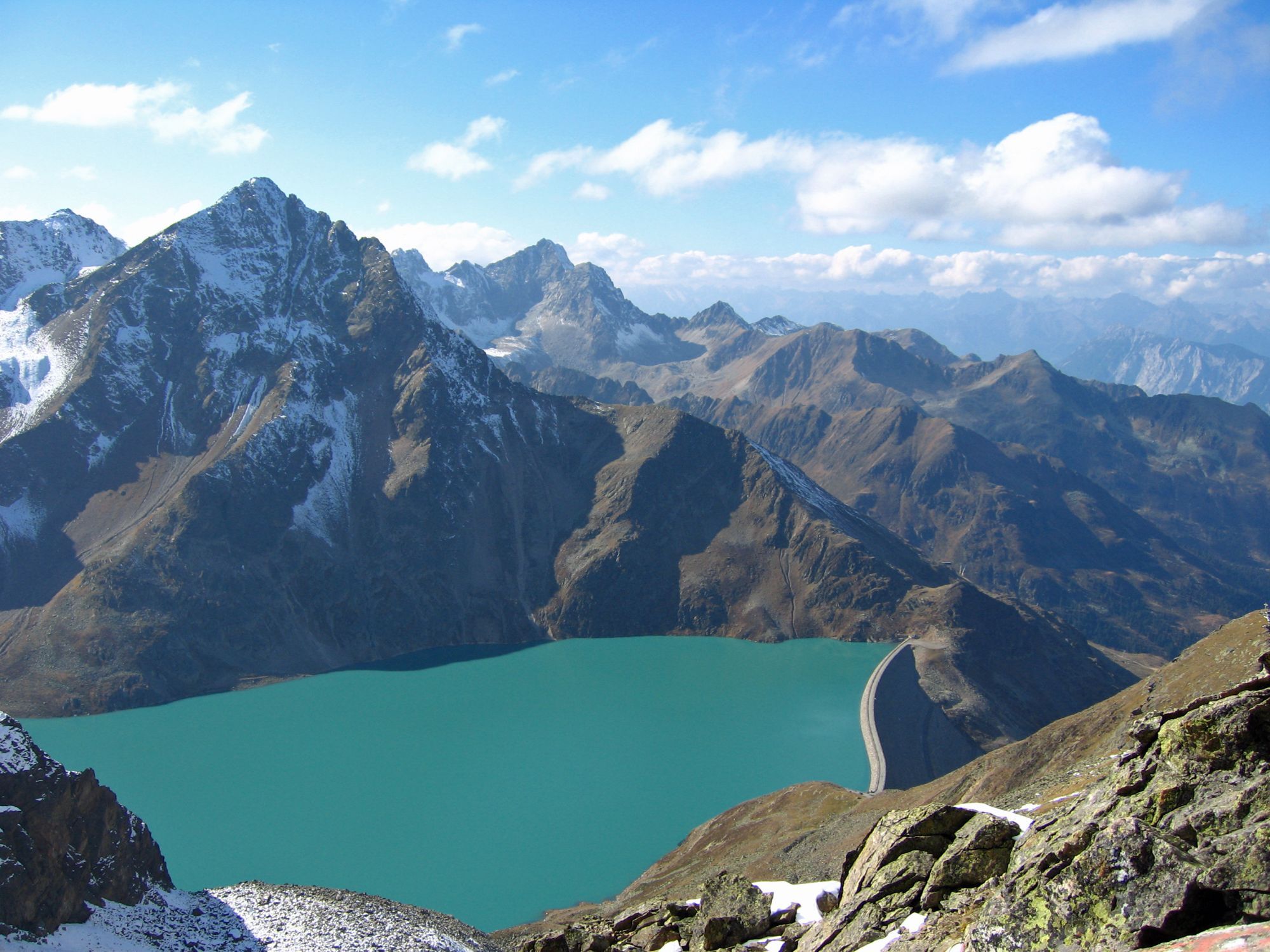
Start opposite the tourist information centre and follow the marked trail over the Wiesberg up to the Drei-Seen-Hütte mountain hut. From there, continue to the dam at the Finstertal reservoir. Keep to the lower path above the lake for about 300 metres until you come to the point where a trail marked P.K. branches off towards Pockkogel. This trail leads to the Steintalsattel col and it is less than half an hour from there to the summit.


