Parking
Parking Verwall entrance (free of charge)
Parking Nasserein T. East (free of charge)
Car park Rendl T. West (free of charge)
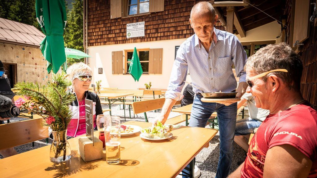
Konstanzer Hütte 773
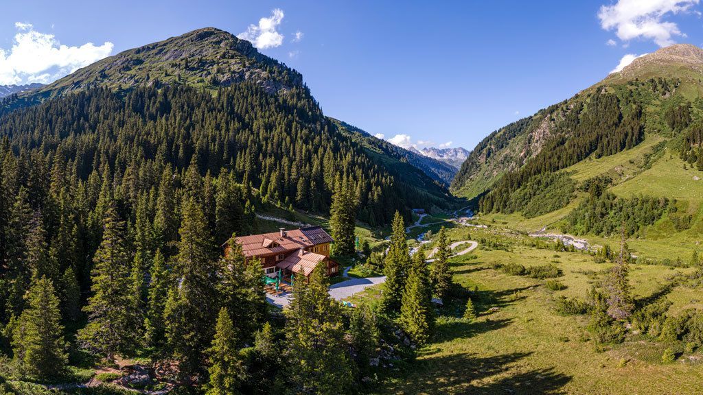
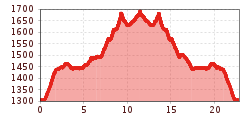
The tour to the Konstanzer Hütte 1688m is suitable for advanced mountain bikers. Start at the Arlberg WellCom and turn right at the roundabout up the old Arlberg road to the main road. Cross this road and then turn left into the Verwalltal valley. After the bridge over the Arlenbach stream, you will come to a large meadow, where you should take the first turning to the right on the gravel path over a slight climb to the Verwallsee and on to the Salzhütte. From there, continue to the Konstanzer Hütte. Return the same way. Return to the Salzhütte, turn right over the bridge and head south along the Verwallsee to the Wagner Hütte or continue to St. Anton am Arlberg.
Parking Verwall entrance (free of charge)
Parking Nasserein T. East (free of charge)
Car park Rendl T. West (free of charge)


