
Difficulty:
medium
Length:
14.8 km
Duration:
7:00 h
Elevation uphill:
1,029 m
Zirmsteig trail (36)
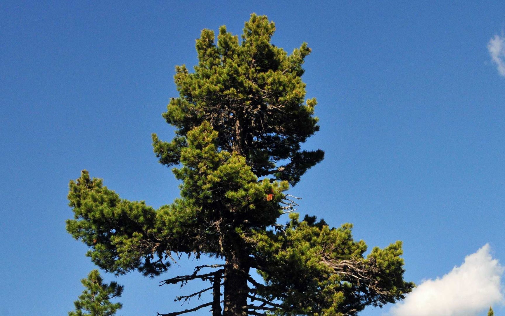
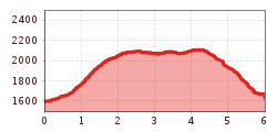
From Lüsenser Straße road, follow the Alpenverien (Alpine Club) path number 119 (Roter Kogel) to Gallwieser Hochleger. From there, you can enjoy views of the Lisenser Ferner glacier as you head into the beautiful Swiss stone pine forest. The trail maintains an altitude of 2,100 metres above sea level and leads above the bowl towards Schönlisenstal before heading down to Spielgrube. The route then follows path number 132 down to Lüsens. A rewarding circular route from Praxmar to Lüsens with enchanting views of alpine flora and the glacier world.


.jpg")


