Contact
Zams - Zammer Alm / Schihütte Zams - Krahberg
****
From Zams you hike across flowering meadows, through the forest and partly along the ski piste to the Zammer Alm / Zams ski hut and from there up to the Venetbahn mountain station on the Krahberg.
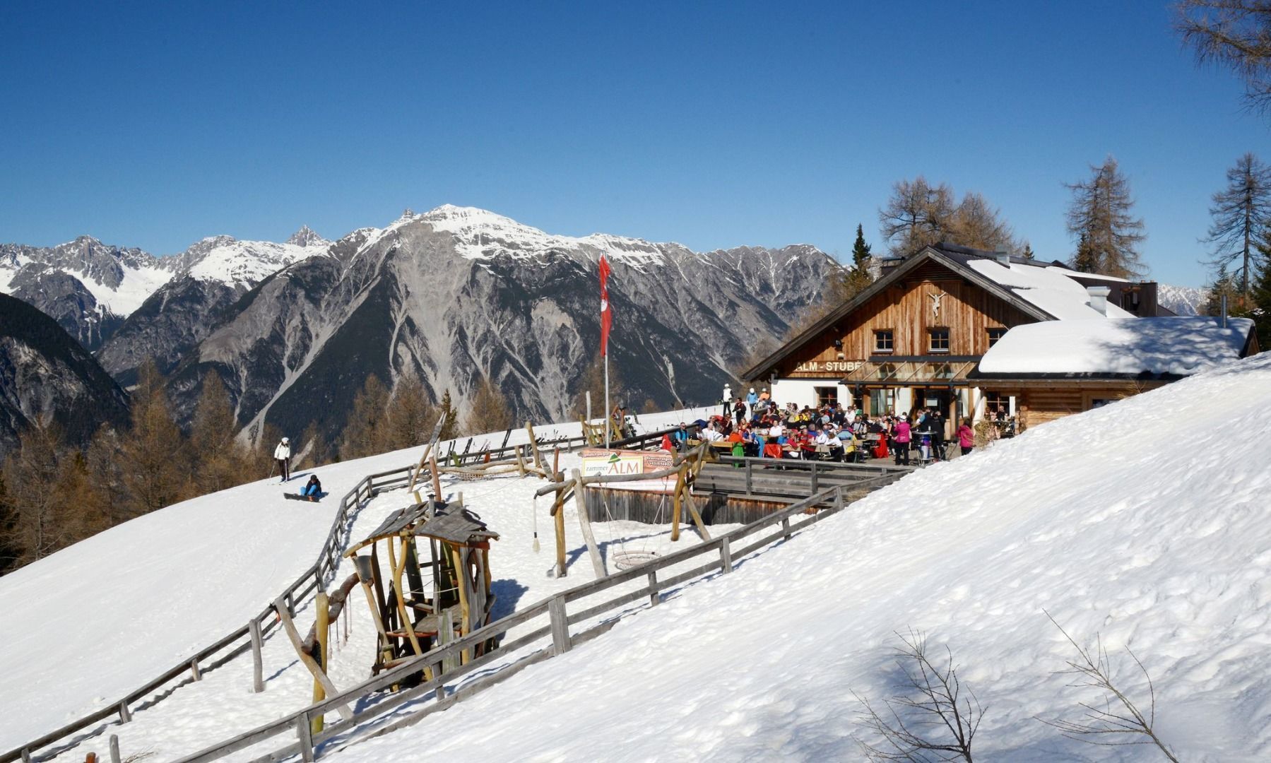
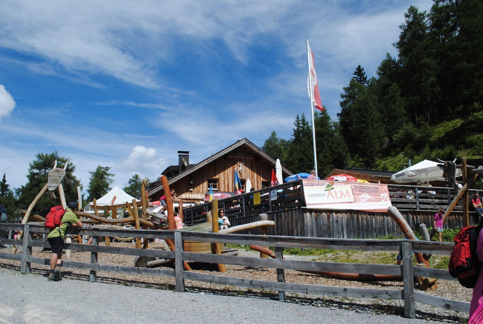
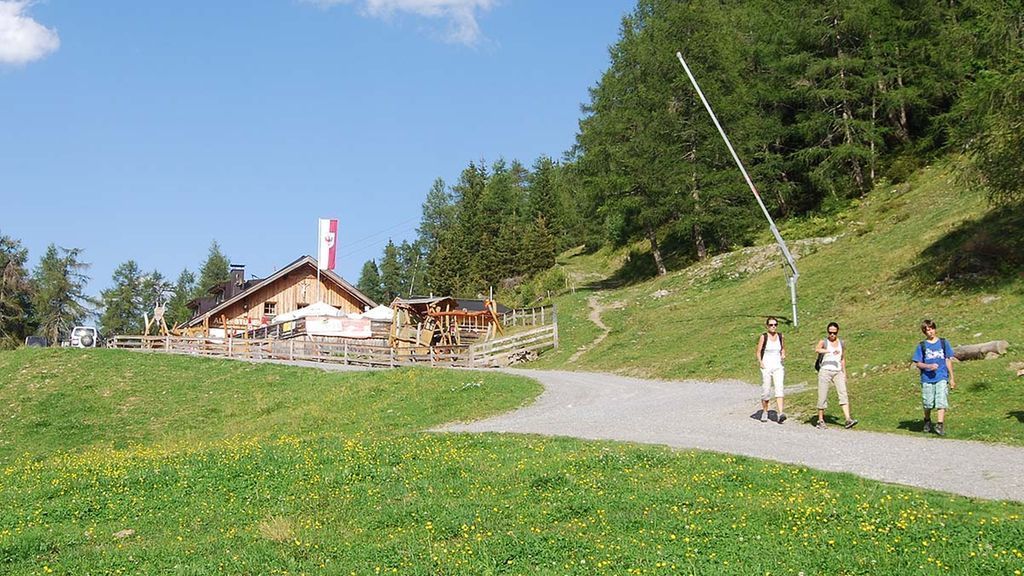
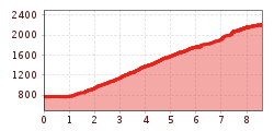
From Dorf, walk along the tarmac road to the hamlet of Anreit. There is a signpost right at the start of the Wiesensteig trail. Follow a path between the forest track and the tarmac road into an alder forest, along the stream, across meadows and through the forest, always following the signs, sometimes steeply uphill to the Zams ski hut and Zammer Alm. After an enjoyable rest, the trail continues uphill to the mountain station of the Venetbahn cable car on the Krahberg.
Zams - Zammer Alm / Schihütte Zams - Krahberg
****


