Mountain hikes Wirl - Bielerhöhe und Rundwanderung um den Stausee

Galtür / Silvretta
Difficulty ratings: medium
Route length: 15.2 km
Duration: 4:00 h

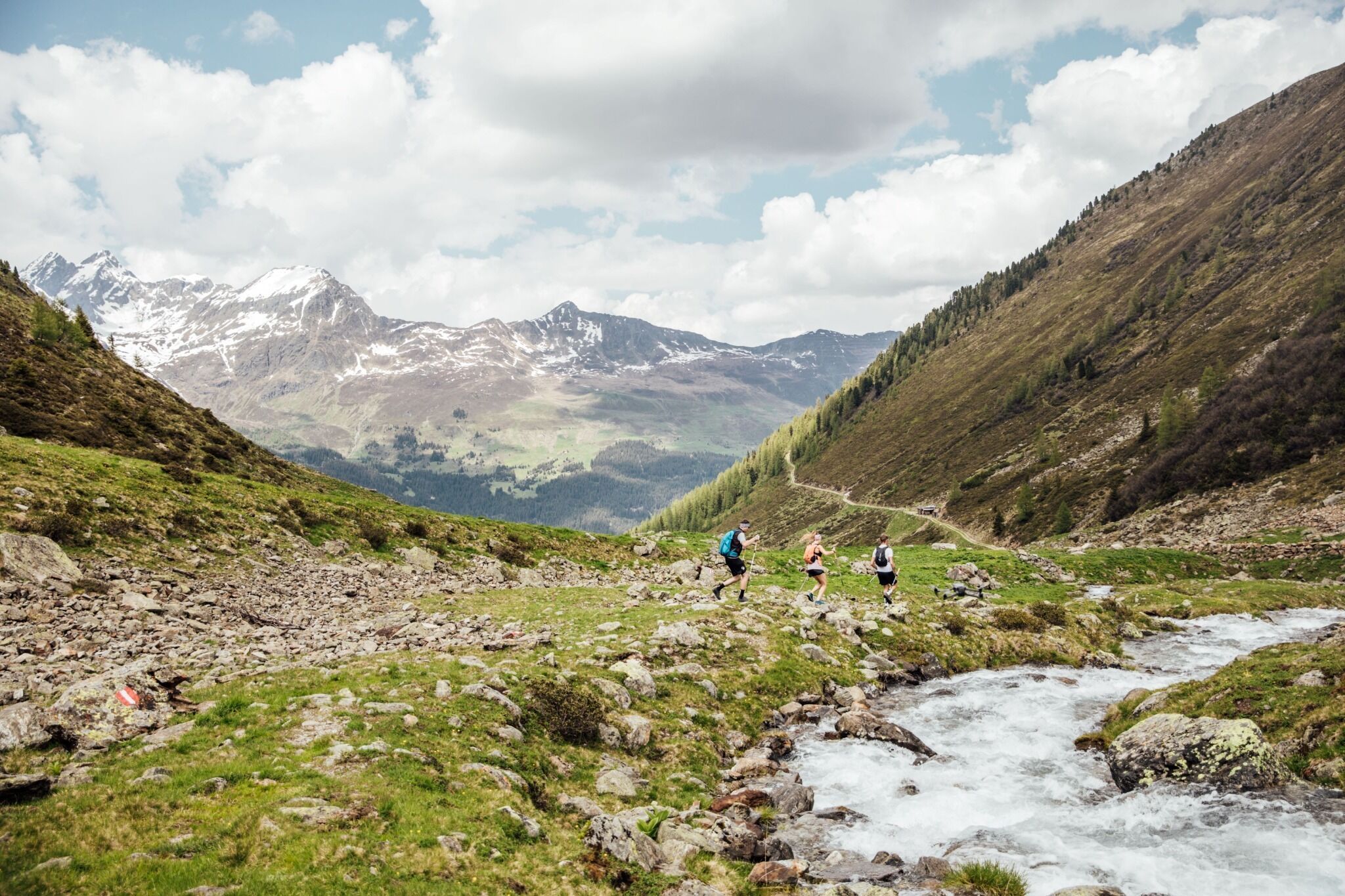
Medium difficulty hike from Wirl to the Bielerhöhe

Tour information

  • Requirement: medium
  • Length: 15.2 km
  • Duration: 4:00 h
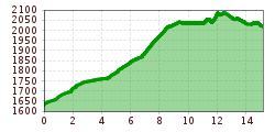
  • Elevation uphill:495 hm
  • Elevation downhill:105 hm
Highest point2,090 m

Description

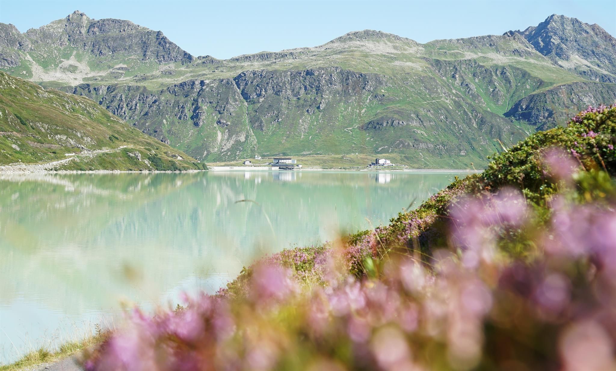
Starting from the Alpkogelbahn valley station in Wirl, the route initially runs along the valley hiking trail until just before the toll station. There you cross the bridge before the path continues to the Bielerhöhe and the Silvretta Reservoir. This is where the circular hike around the reservoir begins. The route first leads over the dam and past an impressive waterfall of the Bieltalbach stream to the southern shore. The trail then follows the western shore of the lake and finally returns to the Bielerhöhe.

Getting here

More tours in the surrounding area

Newsletter

The mountain is calling? So does our newsletter!

In our monthly newsletter we reveal the best holiday tips for Tyrol.