Mountain hikes Weitentalweg

Hochfilzen / Kitzbüheler Alpen
Difficulty ratings: easy
Route length: 6.5 km
Duration: 2:00 h

Weitentalweg

Tour information

  • Requirement: easy
  • Length: 6.5 km
  • Duration: 2:00 h
  • Elevation uphill:170 hm
Highest point1,067 m

Starting point

village centre Hochfilzen

Finishing point

village centre Hochfilzen
  • Fitness level 1 / 6
  • Technique 1 / 6

Features

  • Circular route
  • Suitable for families

Best time of year

  • January
  • February
  • March
  • April
  • May
  • June
  • July
  • August
  • September
  • October
  • November
  • December

Trail condition

Asphalt, gravel, meadow

Equipment

Breathable outdoor clothing, sturdy shoes, food (snack, drinks), sun protection (sunglasses, sun cream & cap), rain protection, cash; guest card if bus is used.

Description

From the village centre walk in eastern direction along the main road to the border Tyrol-Salzburg (1.5 km from Hochfilzen). Here you turn right at the small car parking and follow the forest road uphill to the first fork. From there follow the signs towards Feistenau. Over a narrow forest path and further on to the bridge Hoferbrücke. Turn right towards the main road. Walk along the pavement towards Hochfilzen. At the hamlet Bindermoos you take the walking path via Schupfenboden back to the starting point.

Getting here

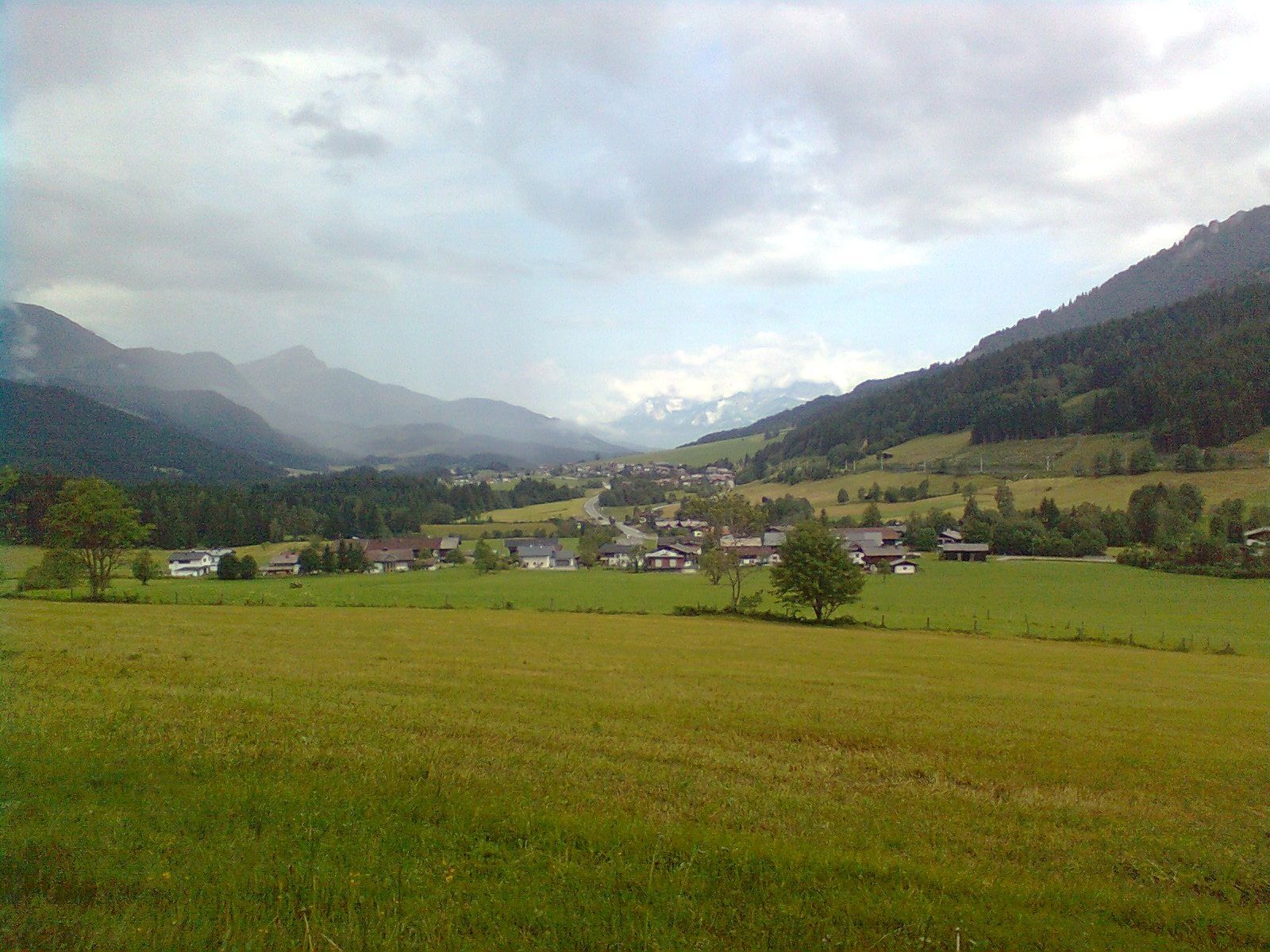
  • Arrival by public transport

    By bus: Bus connection from Ellmau / Kitzbühel / St. Johann i.T. / Lofer and within the PillerseeTal region. Bus stop Hochfilzen Gemeindeamt. Bus free of charge with guest card.
    By train: free train connection from Wörgl to Hochfilzen (regional trains) with guest card. Train station Hochfilzen. Tour leads past the station.

  • Parking

    Hochfilzen Raiffeisenkasse car park or Kulturhaus.

More tours in the surrounding area

Newsletter

The mountain is calling? So does our newsletter!

In our monthly newsletter we reveal the best holiday tips for Tyrol.