
Opening hours:
closed
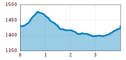
Difficulty:
easy
Length:
573 m
Duration:
0:20 h
Elevation uphill:
12 m
Waldweg to Fiss (return via Finesweg)
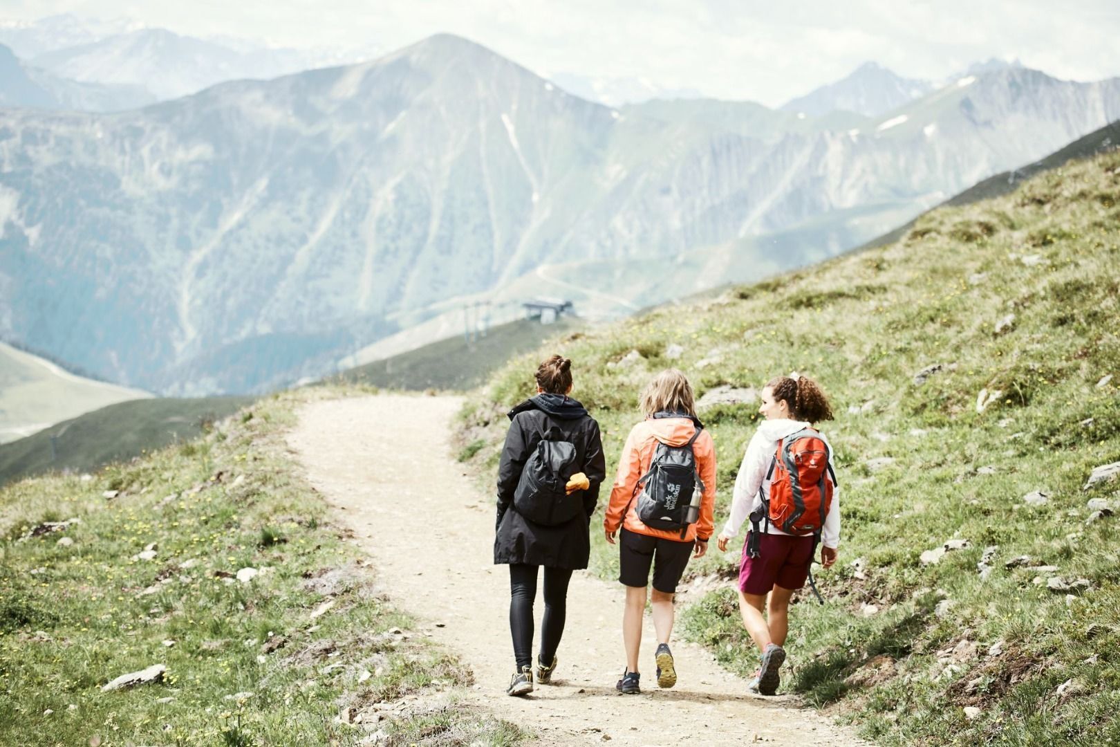
From the Dorfbahnstraße at the entrance to the village behind the parking garage (flags) turn left onto the gravel road (S022, Beutelgasse). turn off. Follow this path until you reach the Waldbahn railway. Cross the main road and continue on the cycle and hiking path to Fiss. Take the Finesweg trail back to Serfaus.


