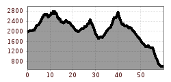
Long-distance hike Via Alpina - Red trail - From the Inn Valley south

Patsch / Tuxer Alpen
Difficulty ratings: difficult
Route length: 60.1 km
Duration: 23:15 h

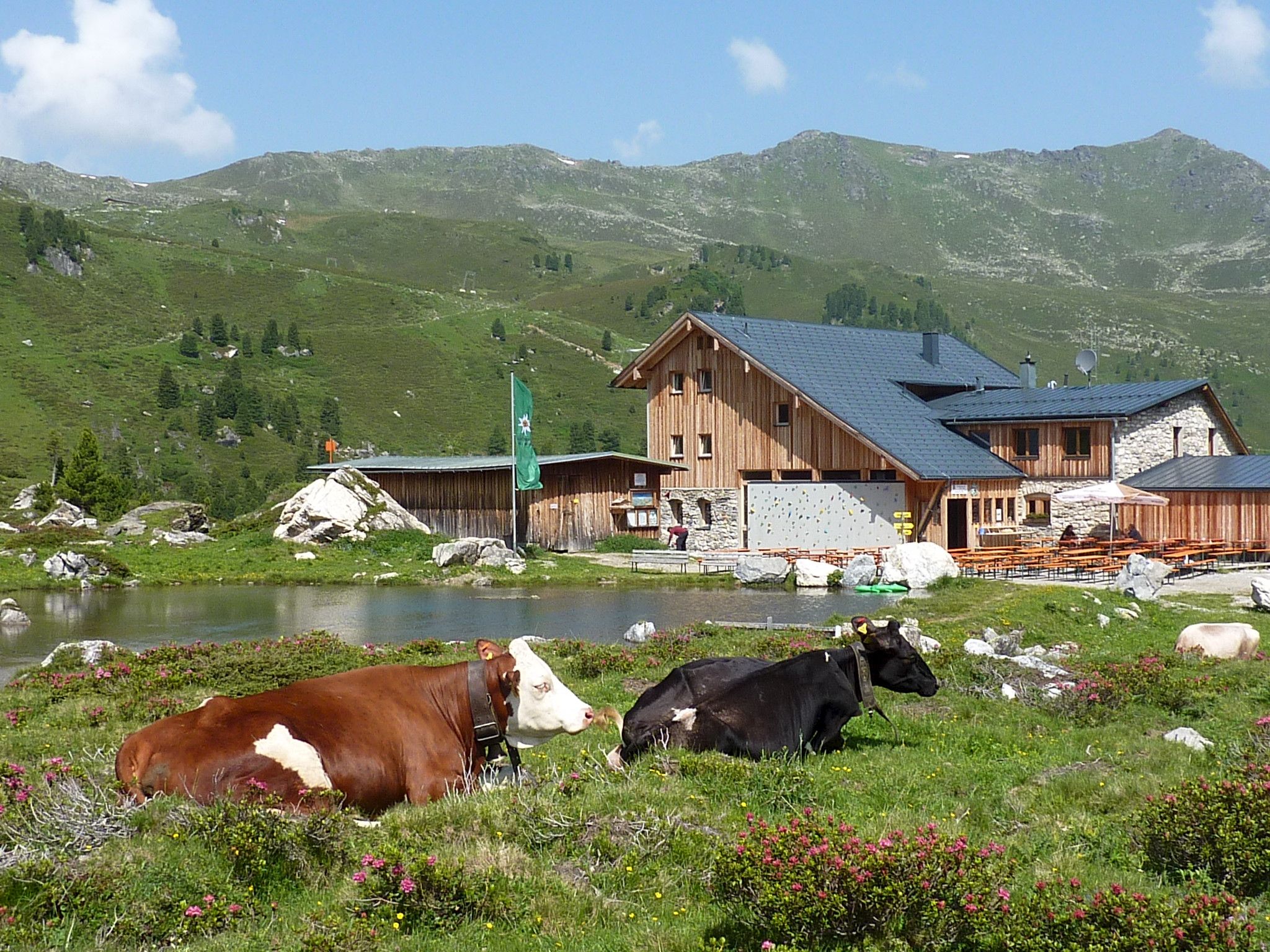
The Red Route is a connecting route between the eight Alpine states. It crosses the main Alpine ridge several times to connect Trieste with Monaco via Tyrol, Bavaria and Liechtenstein. Variations of the Via AlpinaFrom the Inn Valley south - Tuxer Alps (alternative route to the standard stage R38) in 4 daily stages

Tour information

  • Requirement: difficult
  • Length: 60.1 km
  • Duration: 23:15 h
  • Elevation uphill:2,969 hm
  • Elevation downhill:4,345 hm
Highest point2,794 m
  • Fitness level 5 / 6

Best time of year

  • January
  • February
  • March
  • April
  • May
  • June
  • July
  • August
  • September
  • October
  • November
  • December

More tours in the surrounding area

Newsletter

The mountain is calling? So does our newsletter!

In our monthly newsletter we reveal the best holiday tips for Tyrol.