Arrival by public transport
By bus with line 4030 to the stop Hüttwirt or Unterberghornbahnen
Take the lines 4000 and 9509 to the stop Hüttwirt
https://naturtrip.kaiserwinkl.com/poi/253717
Weg Nr.: 26, 70
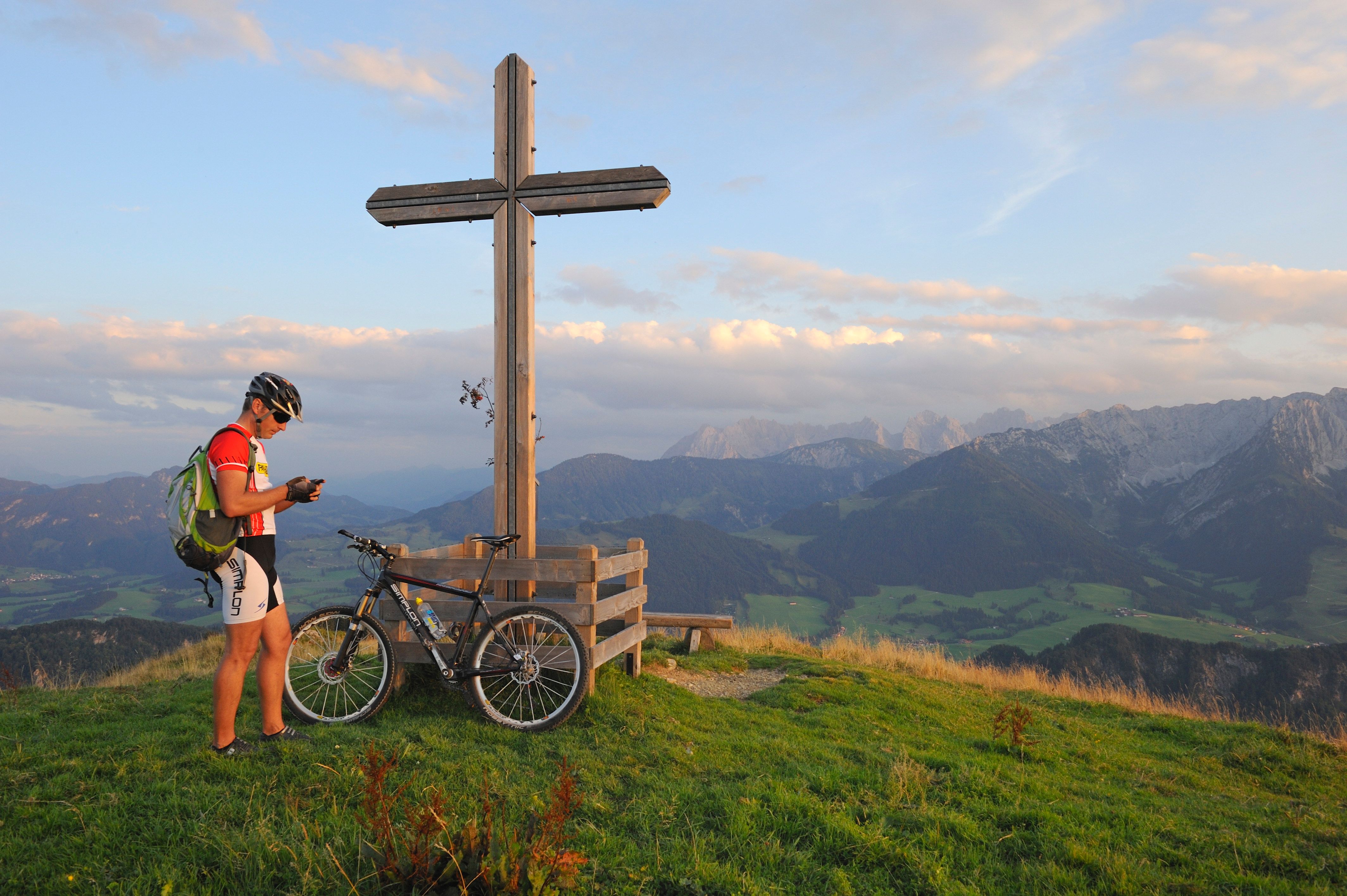
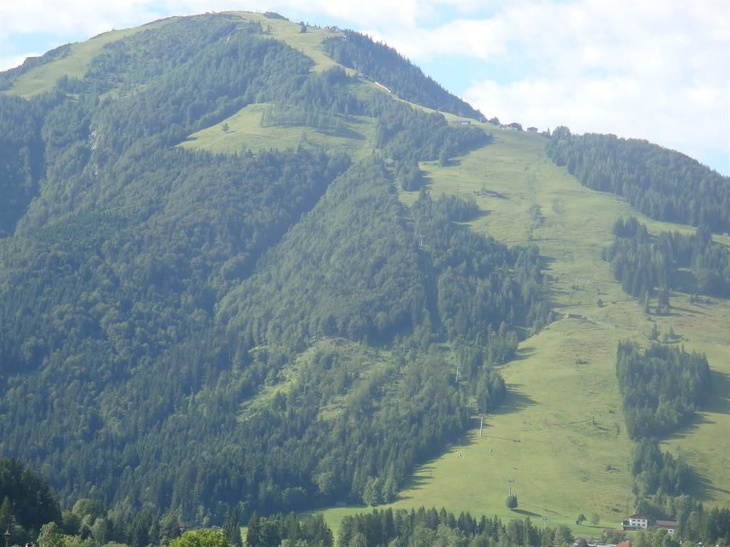
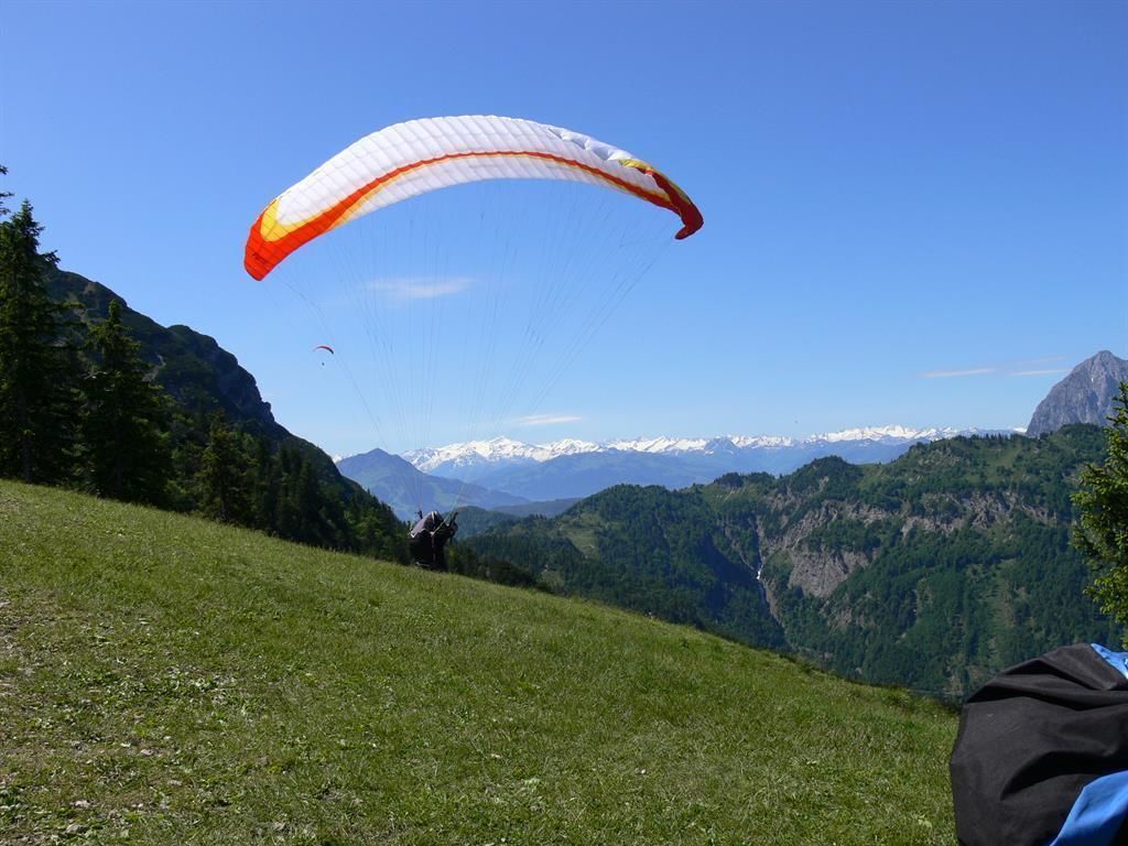
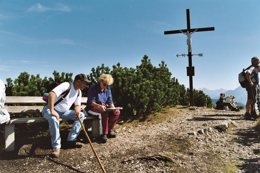
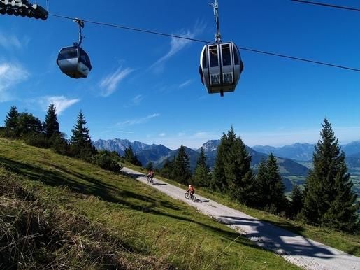
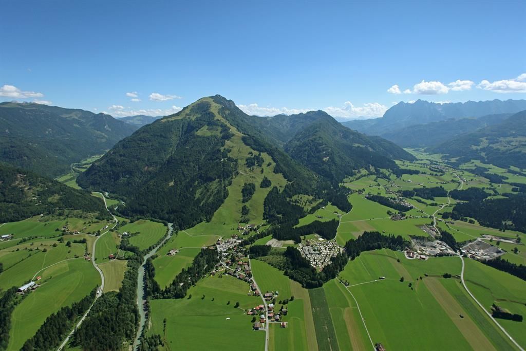
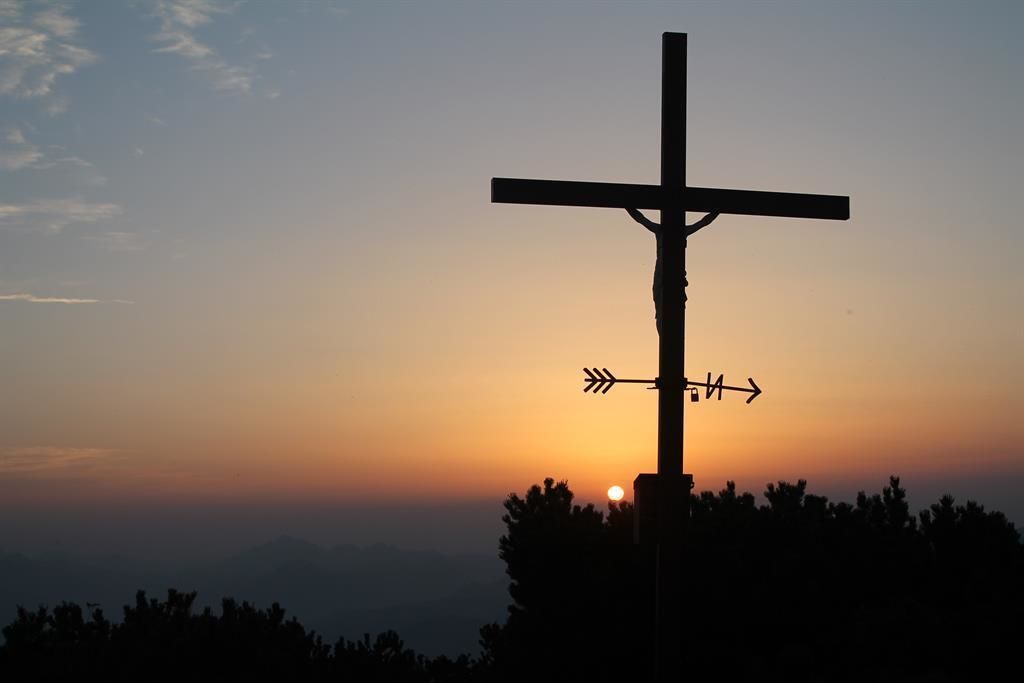
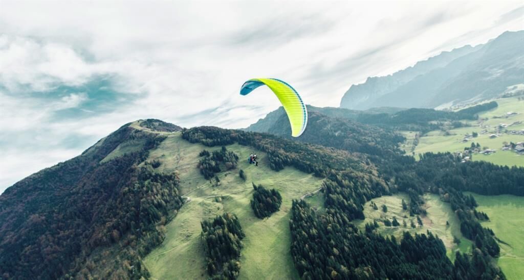
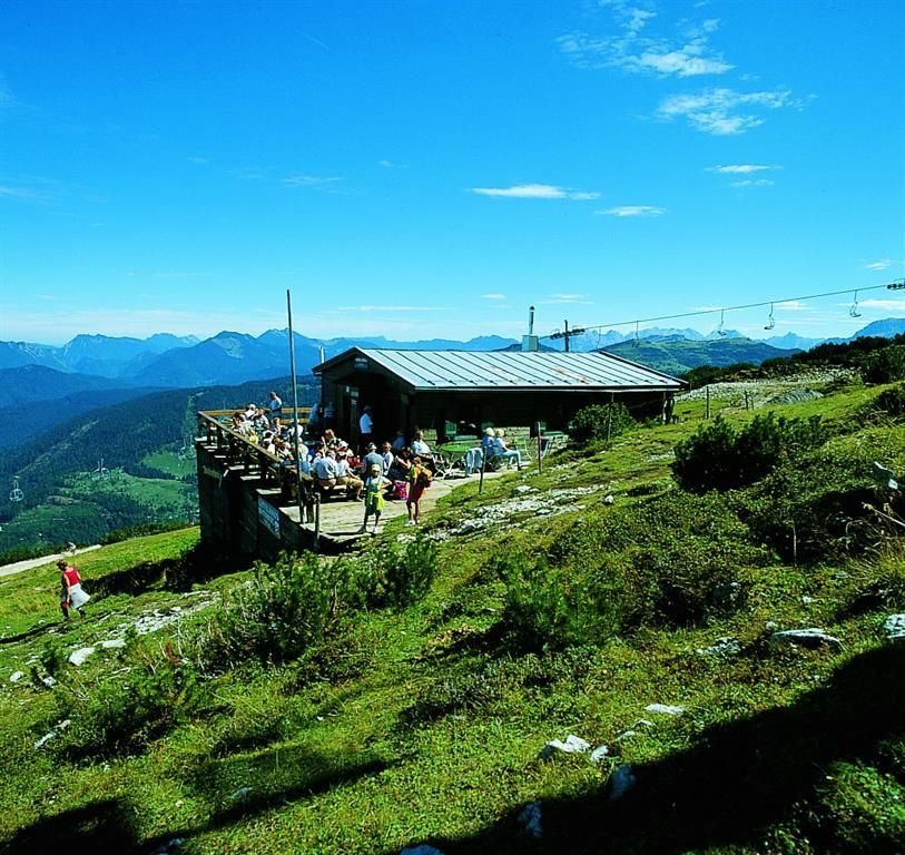
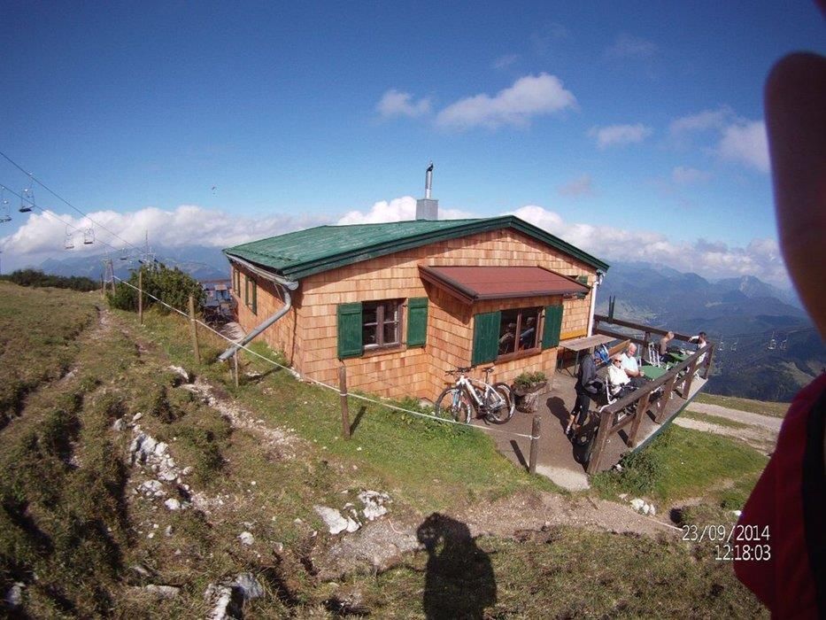
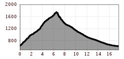
From the valley station of the Bergbahnen Kössen follow the marked hiking trail to the forest road via Scheibenwald to the Bärenhütte. From the Bärenhütte at the paragliding-starting-point you can walk on a hiking trail to the Unterberghornhütte (summit house), then on a path (number 26) from which the summit of the Unterberghorn can already be seen. From a rocky but not difficult ridge you can now be led through a steep field to the summit cross. Experienced hikers can use the descent through the Niederhausertal (dangerous if it is wet!). At the hill just before the summit turn southwards and walk down through sparse forest and over mountain pastures to Lackalm. Here turn right onto a forest road, through the Niederhausertal to the Lucknerhof, turn right and get back to the starting point.
By bus with line 4030 to the stop Hüttwirt or Unterberghornbahnen
Take the lines 4000 and 9509 to the stop Hüttwirt
https://naturtrip.kaiserwinkl.com/poi/253717
Parking lot valley station Hochkössen

