
Difficulty:
medium
Length:
9.2 km
Duration:
4:15 h
Elevation uphill:
700 m
Tux-Lanersbach - Lizum - Tux-Lanersbach
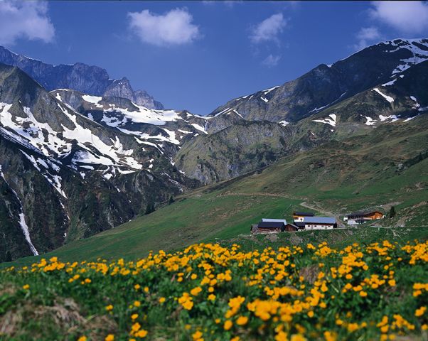
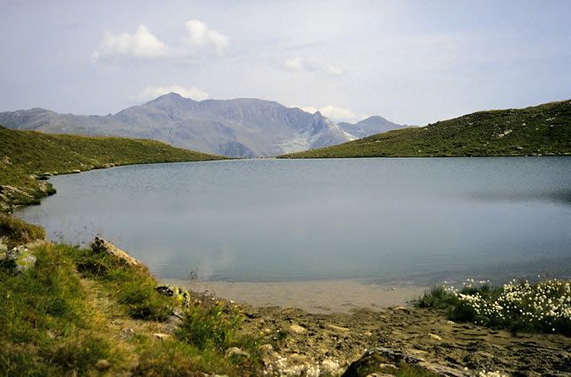
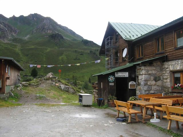
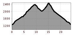
From Tux-Lanersbach via trail 21 to the hamlet of Gemais, on AV trail 321 to the Nasse Tuxalm, there continue in the direction of the "Torsee" lake, past this and uphill to the Torjoch, descent to the "Lizumer Hütte" (2019 m). Ascent on AV trail 322 (323 & 302 A) to the Junsjoch, descent to "Stoankasern" and back to Tux-Lanersbach via trails 33 and 21.
Attention. The "Wattener Lizum" area is a military training area and therefore temporarily closed to tourists. Dates are known at the tourist office.
TIP: Shorten the tour by
a) the ascent with the Eggalm cable cars and from there via the Grüblspitze, Ramsjoch, Torseen and Torjoch
b) taking the hiking taxi to Stoankasern on Tuesdays and Thursdays, departing at 9.15 am from the Tux-Centre in Tux-Lanersbach and then taking the tour via Junsjoch the other way round. OR overnight stay at the Lizumer Hütte (2019 m)!


")


 Olpererhütte - Furtschaglhaus")
 Furtschaglhaus - Berliner Hütte")
 Friesenberghaus - Olpererhütte")

 Gamshütte - Friesenberghaus")


