
Opening hours:
closed
Difficulty:
easy
Length:
573 m
Duration:
0:20 h
Elevation uphill:
12 m
Short mountain tour with steep ascents and wonderful views.
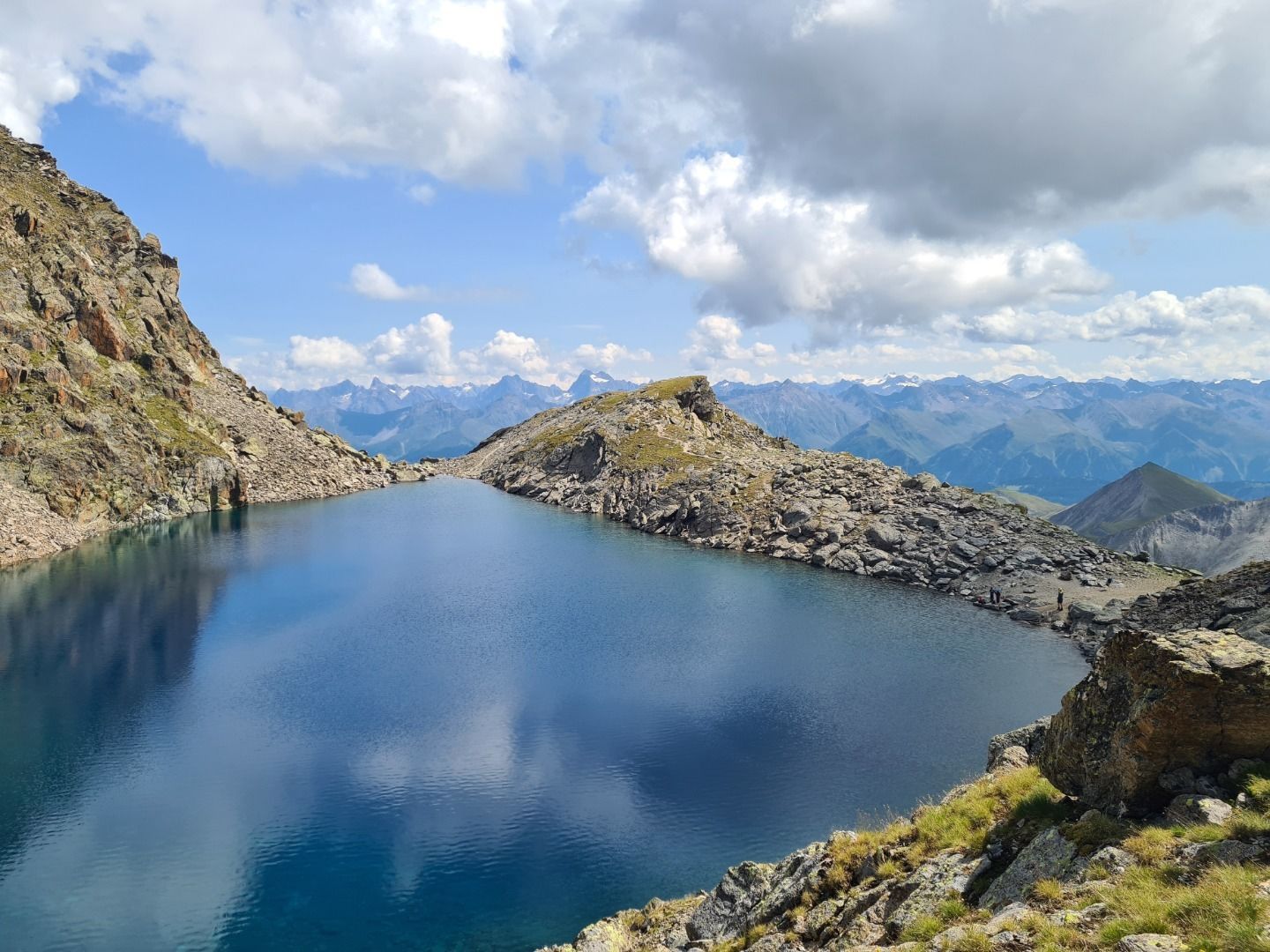
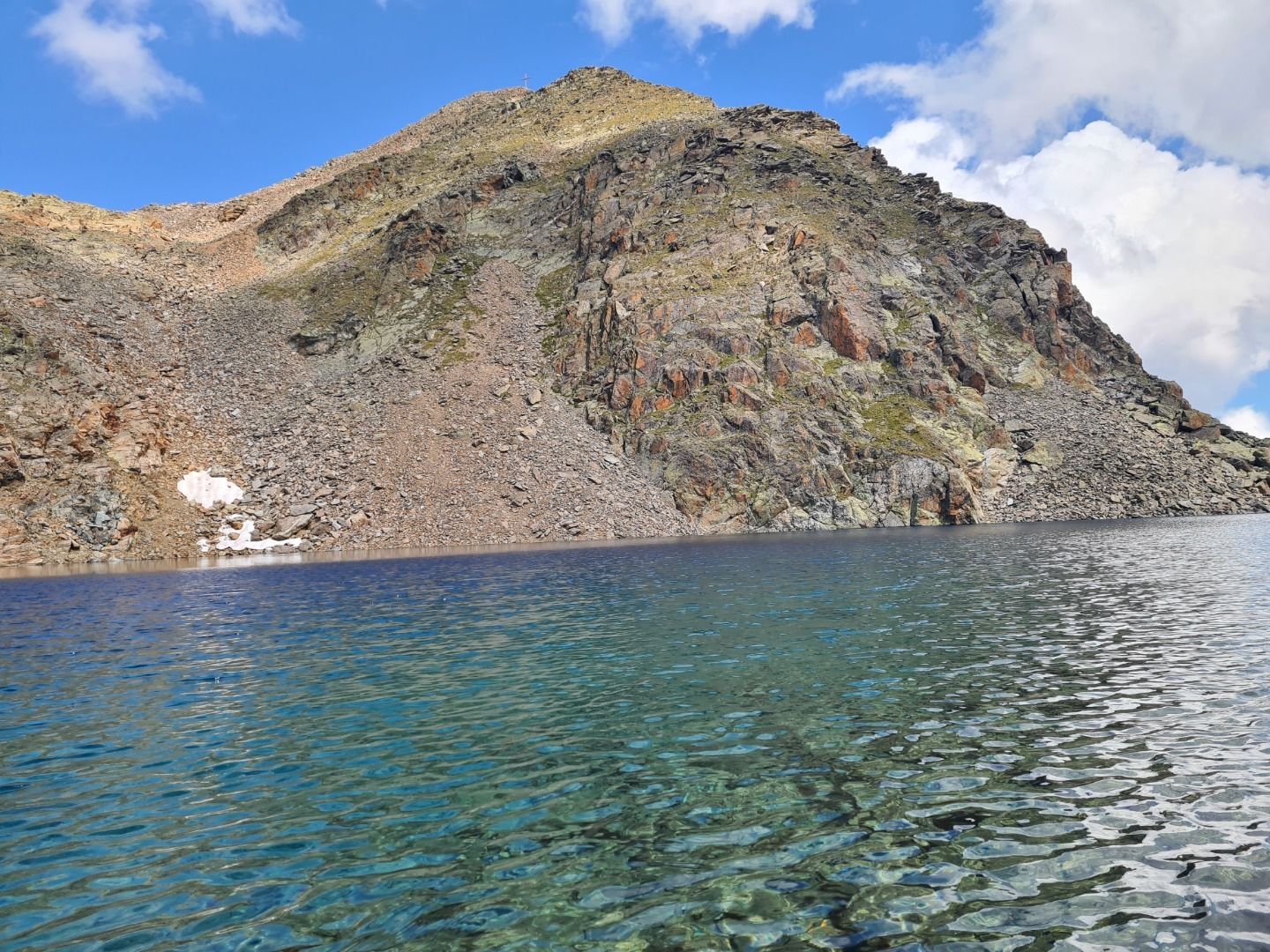
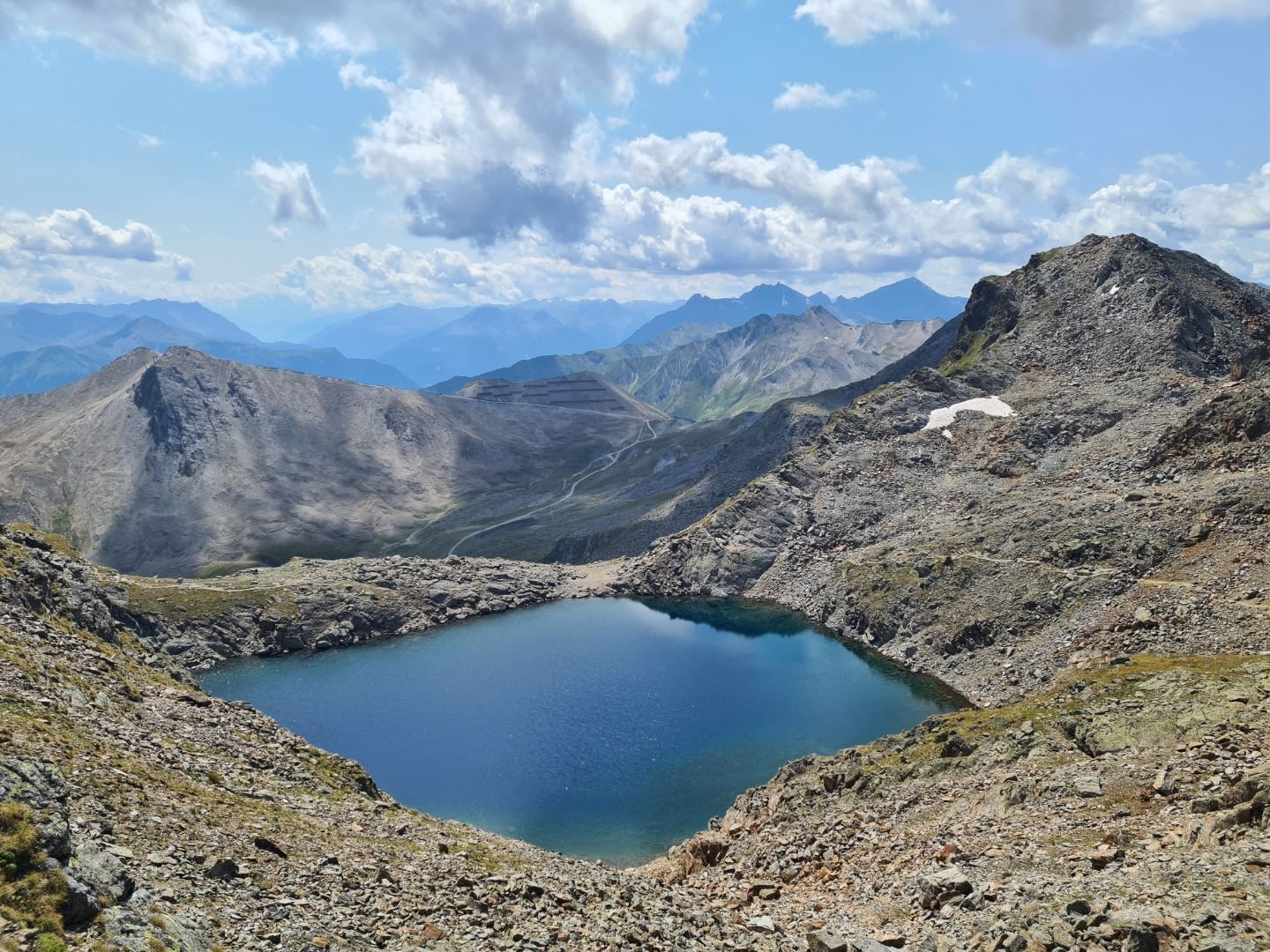
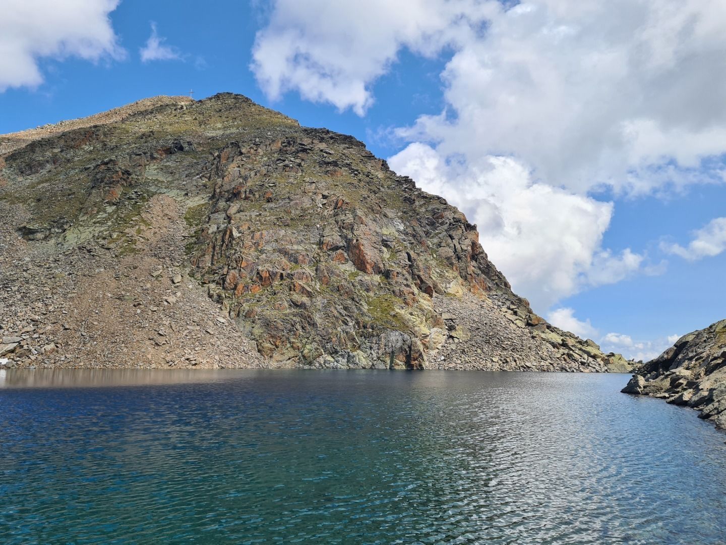
From the Lazid (S301) via the Lazidgrat ridge or on the vehicle track to the Scheid (S217). Behind the cable car station of the Moosbahn (S218) steep ascend in northwestwards along the ridge. Veering towards the west the route leads over well secured trail, partly over boulders to the Tieftalsee lake (S214).


