Mountain hikes Theme path "Virgen crossroads"

Virgen in Osttirol / Venediger Group
Difficulty ratings: easy
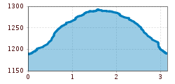
Route length: 3.2 km
Duration: 1:00 h

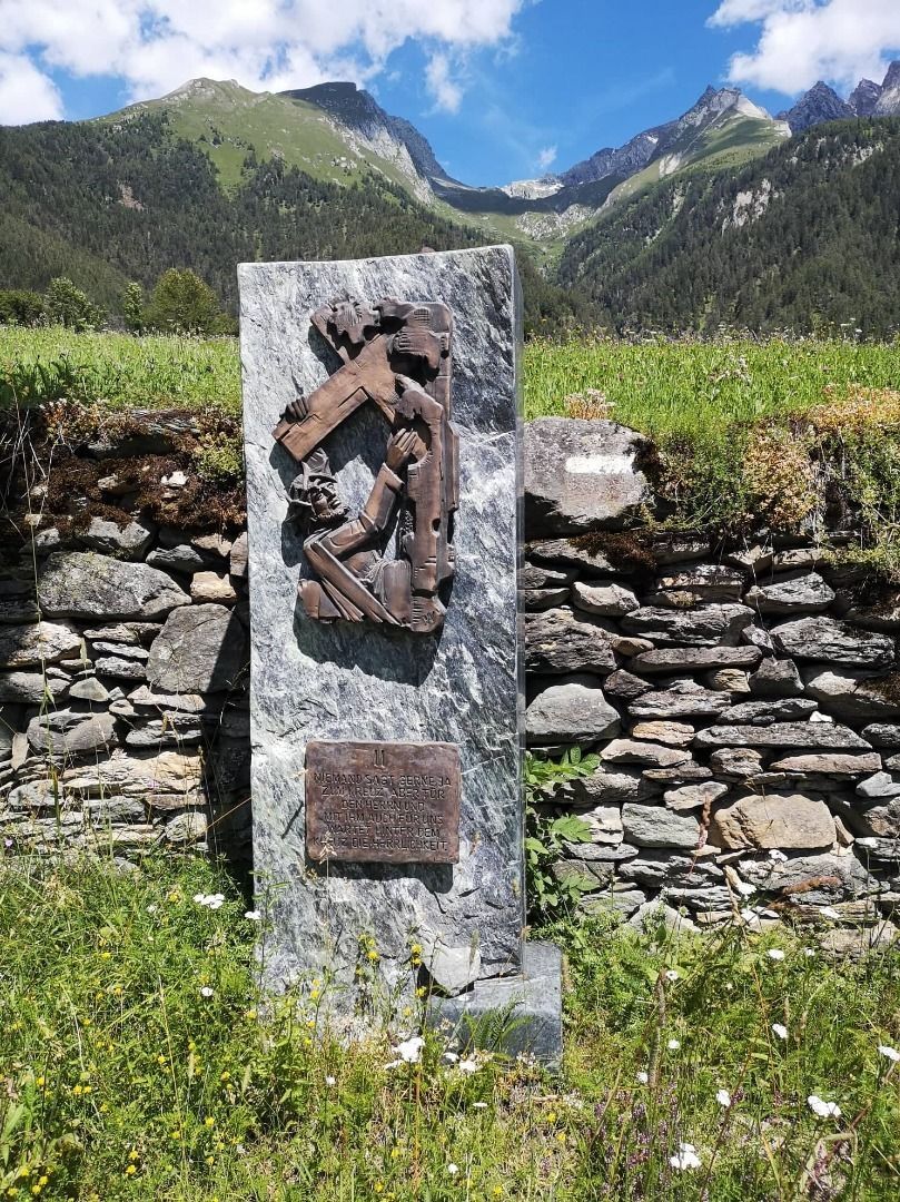
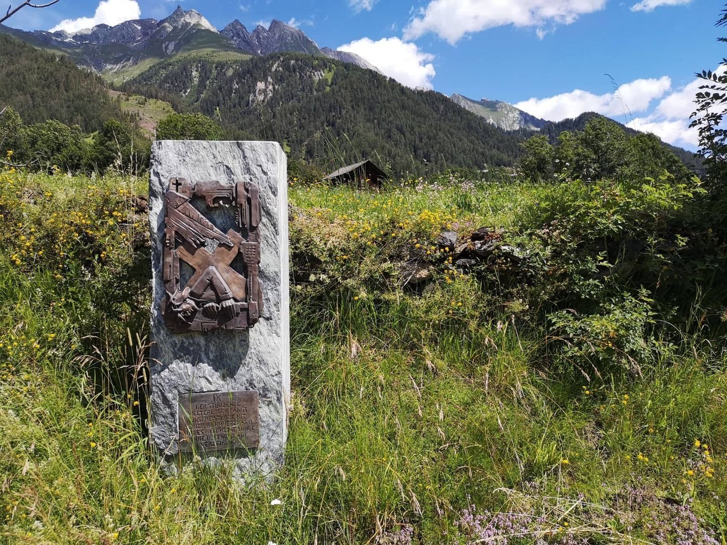
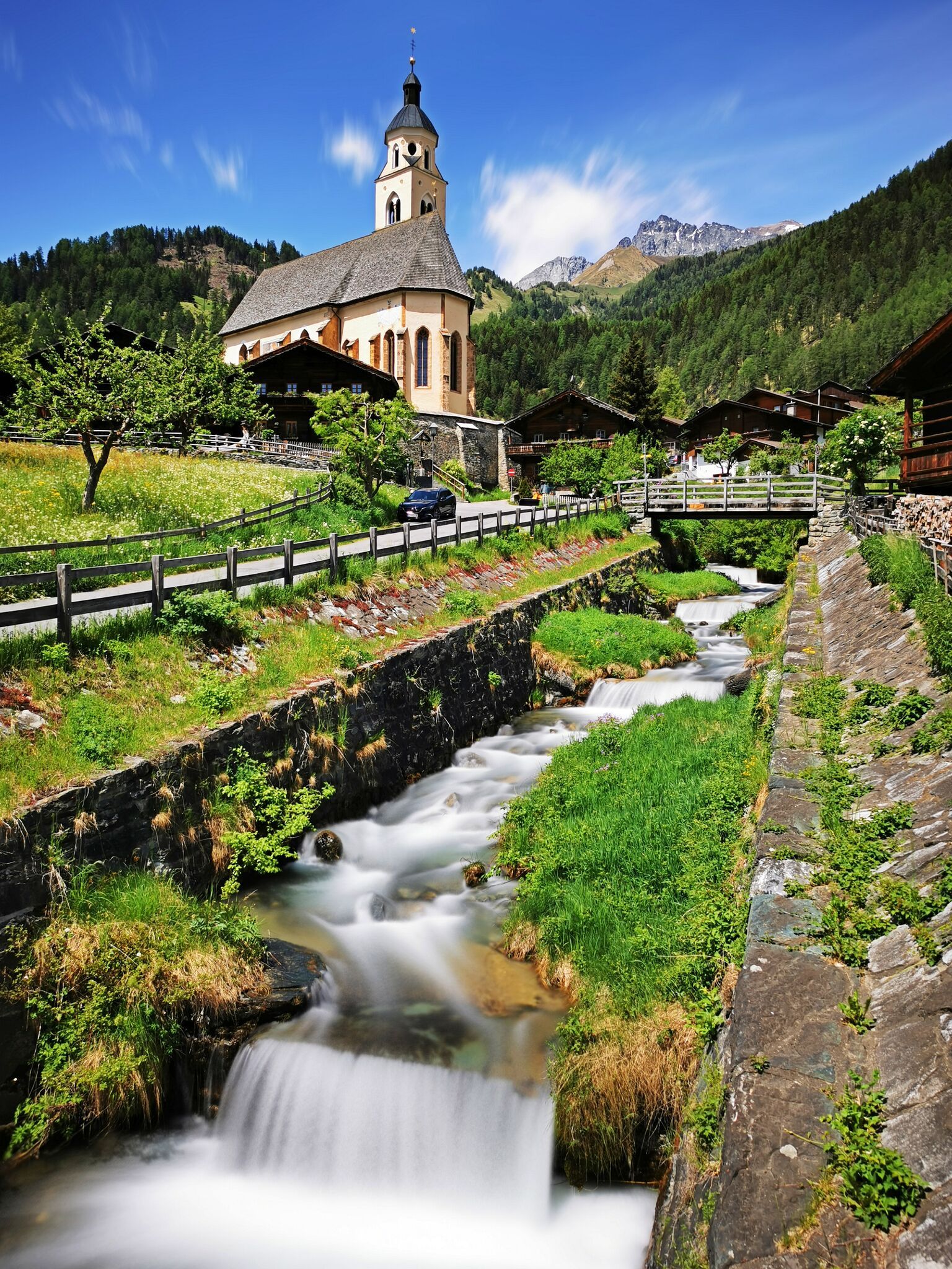
Along the newly designed Way of the Cross to the pilgrimage church "Maria Schnee", there are 15 stations designed by local artists.
Tour character

  • 15 stations by local artists
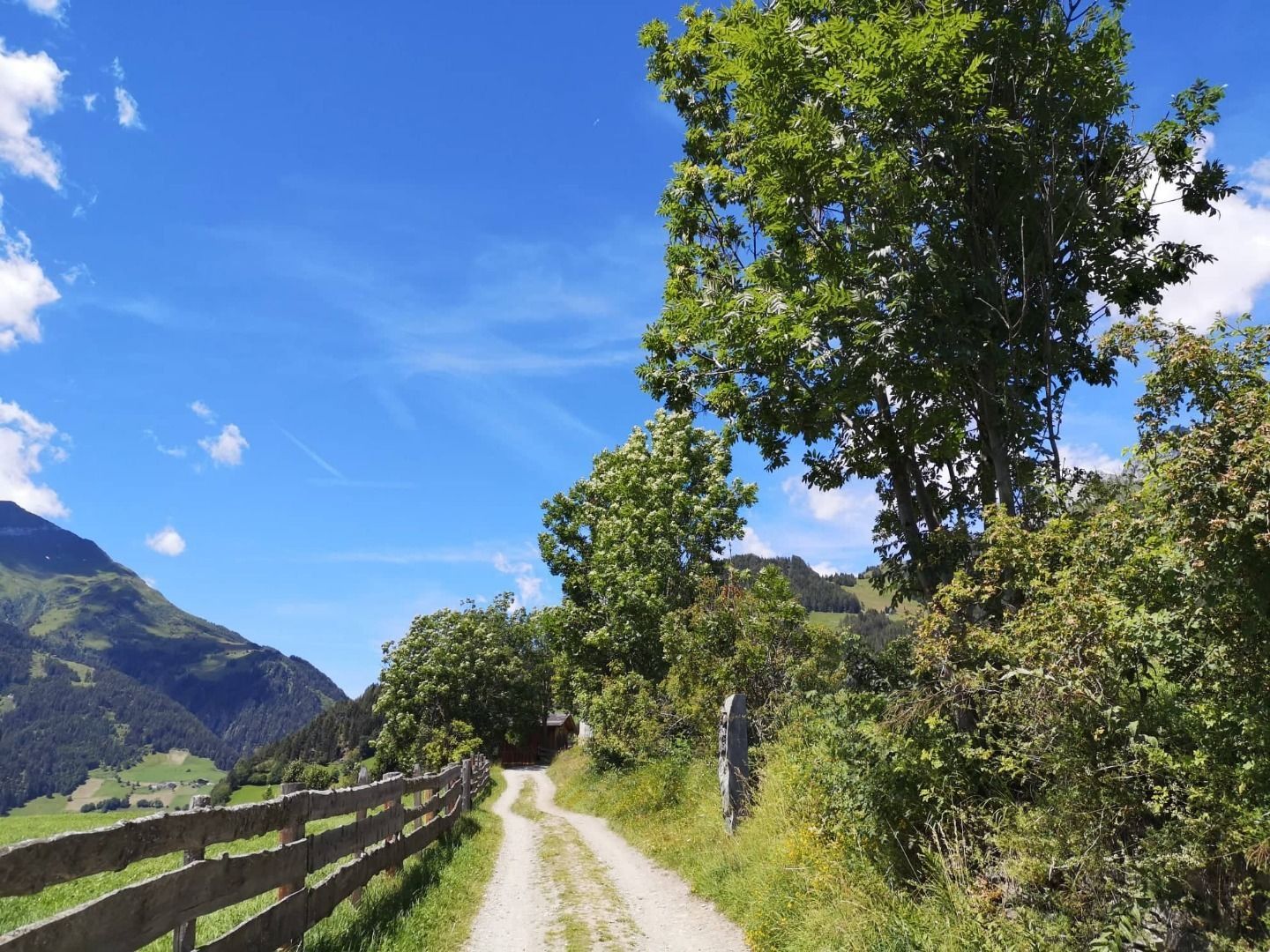
  • cozy forest path

Tour information

  • Requirement: easy
  • Length: 3.2 km
  • Duration: 1:00 h
  • Elevation uphill:104 hm
  • Elevation downhill:104 hm
Highest point1,300 m

Starting point

Virgen 1.200m

Finishing point

Virgen 1.200m
  • Fitness level 1 / 6
  • Technique 1 / 6

Features

  • Suitable for families
  • Wheelchair hike
  • suitable for pushchairs

Best time of year

  • January
  • February
  • March
  • April
  • May
  • June
  • July
  • August
  • September
  • October
  • November
  • December

Trail condition

gravel

Equipment

Basic equipmentformountainhikingincludessturdy hiking bootswith a goodtread, a 30-35 literbackpack, and functionalclothingbased on thelayeringprinciple, includingsufficient spare clothes. Essential itemsare rain, cold, and sunprotection, adequatefluids and food, aswellas a first-aid kit and a charged mobile phone. A mapor a GPS devicesupportsorientation. 

The informationservesas a guideline and does not claimtobe exhaustive. Equipment mustalwaysbeadaptedtothe planned route, weatherconditions, season, naturalhazards, environmental influences, and personal needs. 

Source: TVB Osttirol

Description

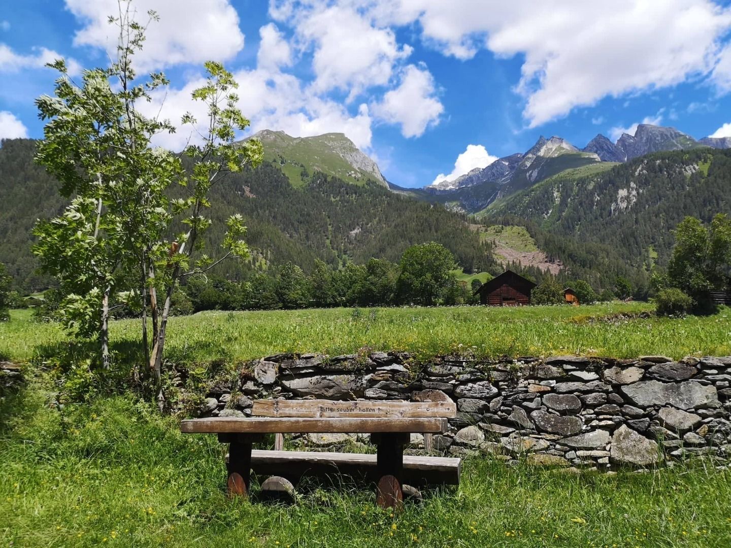
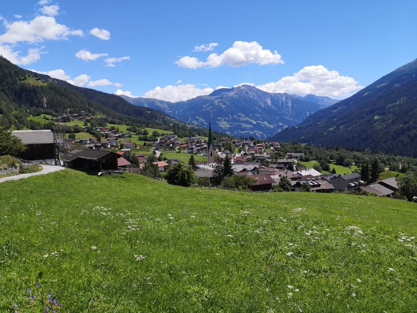
At the western end of Virgen there there you can find a recently redesigned crossroads to the "Maria Schnee" pilgrimage church.  Local artists have worked together to create 15 expressive stations.  
The crossroads comprises 14 individual stations, supplemented by a "resurrection", a 15th station right before the pilgrimage church. By using ophite and bronze, source materials have been applied which bring together elegance and monumentality. The sculptures can also be interpreted as rocks in the breakwater. Individual scenes of Ways of the Cross are shown in bronze reliefs, which have been installed directly in green serpentine.  The challenge with the reliefs lay in finding the right path between the traditional and the contemporary. Meditation texts on the serpentine rectangles – put together by former bishop Reinhold Stecher – invite pilgrims to pause for thought.

Nearby huts and mountain restaurants

Getting here

  • Arrival by public transport

    Virgen Kirche

  • Parking

    Drive west along Virgener Landesstraße until you reach the town centre.


    Parking garage Virgen

Weather

Today

mainly clear
18°C/6°C
0%0l5 km/h

Fri

mainly clear
20°C/6°C
0%0l5 km/h

Sat

cloudy
16°C/7°C
15%0l5 km/h
Go to weather forecast

More tours in the surrounding area

  • Böses Weibele

    Difficulty:easy
    Length:10.0 kmDuration:4:00 hElevation uphill:545 m
  • Hiking tour to St. Pöltner Hütte and 3 lakes

    Difficulty:difficult
    Length:14.8 kmDuration:7:40 hElevation uphill:1,119 m
  • Trail Virgentaler Sonnseitenweg

    Difficulty:medium
    Length:41.9 kmDuration:1 dayElevation uphill:2,641 m
  • Badener Hütte

    Difficulty:difficult
    Length:23.2 kmDuration:12:00 hElevation uphill:1,754 m
  • Lucknerhaus - Stüdlhütte

    Difficulty:medium
    Length:9.3 kmDuration:4:30 hElevation uphill:862 m
  • Iseltrail

    Difficulty:medium
    Length:75.3 kmDuration:24:30 hElevation uphill:2,347 m
  • Hike to the Venedigerhaus Innergschlöß

    Difficulty:easy
    Length:8.6 kmDuration:2:30 hElevation uphill:184 m
  • Glödis via ferrata route

    Opening hours:open
    Difficulty:B
    Duration:1:00 hDuration:4:00 hElevation difference:230 m
  • Figerhorn

    Difficulty:difficult
    Length:6.6 kmDuration:6:00 hElevation uphill:811 m
  • Lasörling altitude trail

    Difficulty:medium
    Length:55.4 kmDuration:25:00 hElevation uphill:3,718 m
  • Venediger altitude trail

    Difficulty:difficult
    Length:55.5 kmDuration:27:00 hElevation uphill:3,975 m
  • Herz-Ass Villgratental

    Difficulty:medium
    Length:75.6 kmDuration:34:00 hElevation uphill:5,703 m
  • Muhs panorama trail

    Difficulty:medium
    Length:15.2 kmDuration:6:00 hElevation uphill:1,090 m
  • Dorfberg

    Difficulty:medium
    Length:17.6 kmDuration:5:30 hElevation uphill:770 m
  • Oberstalleralm

    Difficulty:easy
    Length:2.8 kmDuration:0:50 hElevation uphill:170 m
  • Volkzeiner Hütte

    Difficulty:easy
    Length:13.4 kmDuration:3:30 hElevation uphill:370 m
Newsletter

The mountain is calling? So does our newsletter!

In our monthly newsletter we reveal the best holiday tips for Tyrol.