
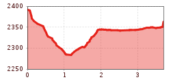
Difficulty:
medium
Length:
1.5 km
Elevation uphill:
264 m
The Finstertal route
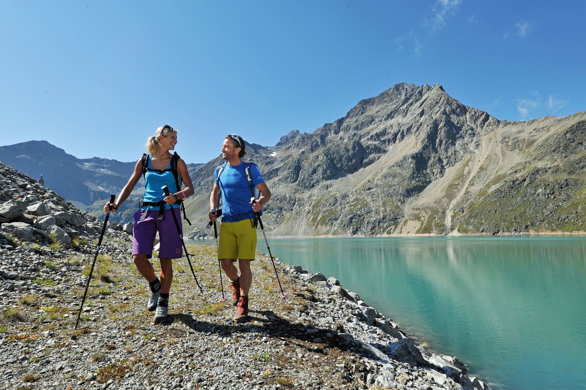
The DreiSeenBahn cable car takes you comfortably up to the mountain station, where the hike begins. From here, the trail first leads to the rustic Drei-Seen-Hütte, which is ideal for a short break. The trail continues uphill to the Finstertal reservoir, which lies at an impressive 2,325 metres.
The high-altitude reservoir with its deep blue water and imposing dam wall invites you to linger and offers a breathtaking view of the surrounding mountains. Once you reach the southern end of the lake, you can enjoy the tranquillity of the high alpine landscape.
There are several options for the way back: You can either hike back to the mountain station and take the cable car down, or you can descend to Kühtai on foot - either via the reservoir road or the well-marked trail that leads through the impressive landscape. Whichever route you choose, this hike guarantees an unforgettable nature experience!


