
Difficulty:
difficult
Length:
24.7 km
Duration:
9:00 h
Elevation uphill:
1,362 m
Stamser Alm mountain hut
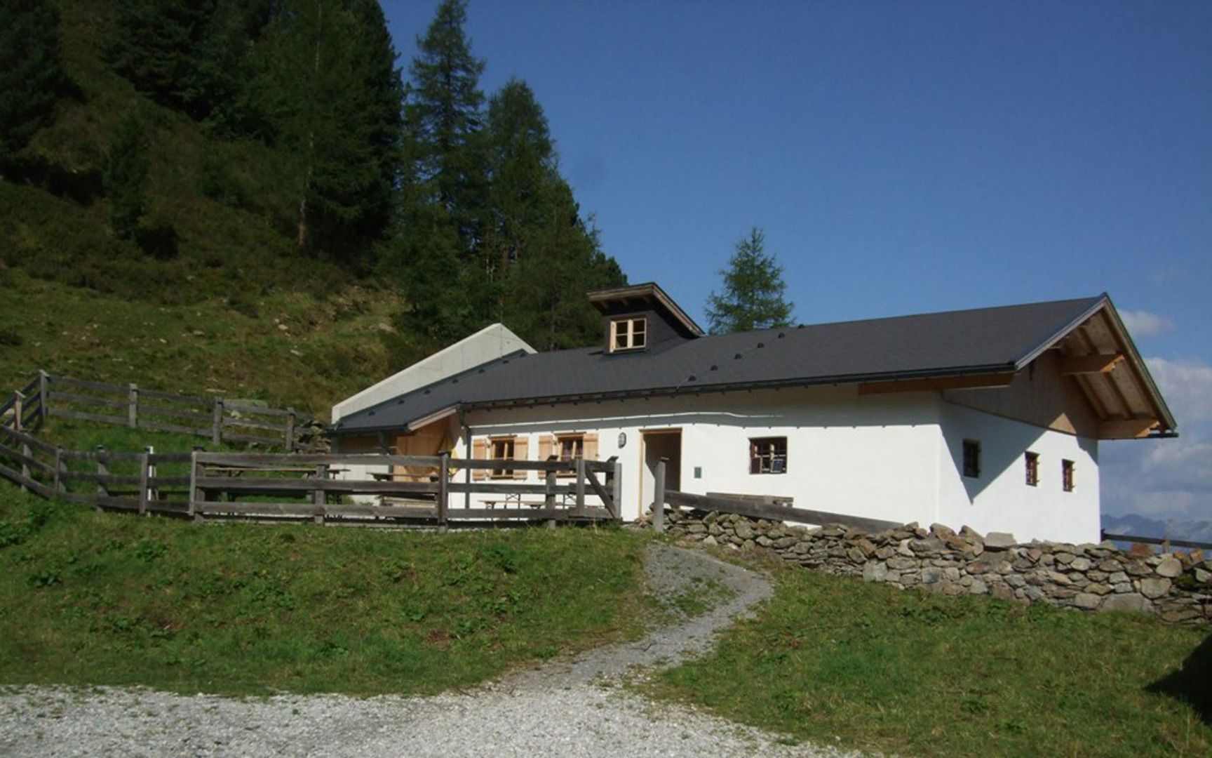
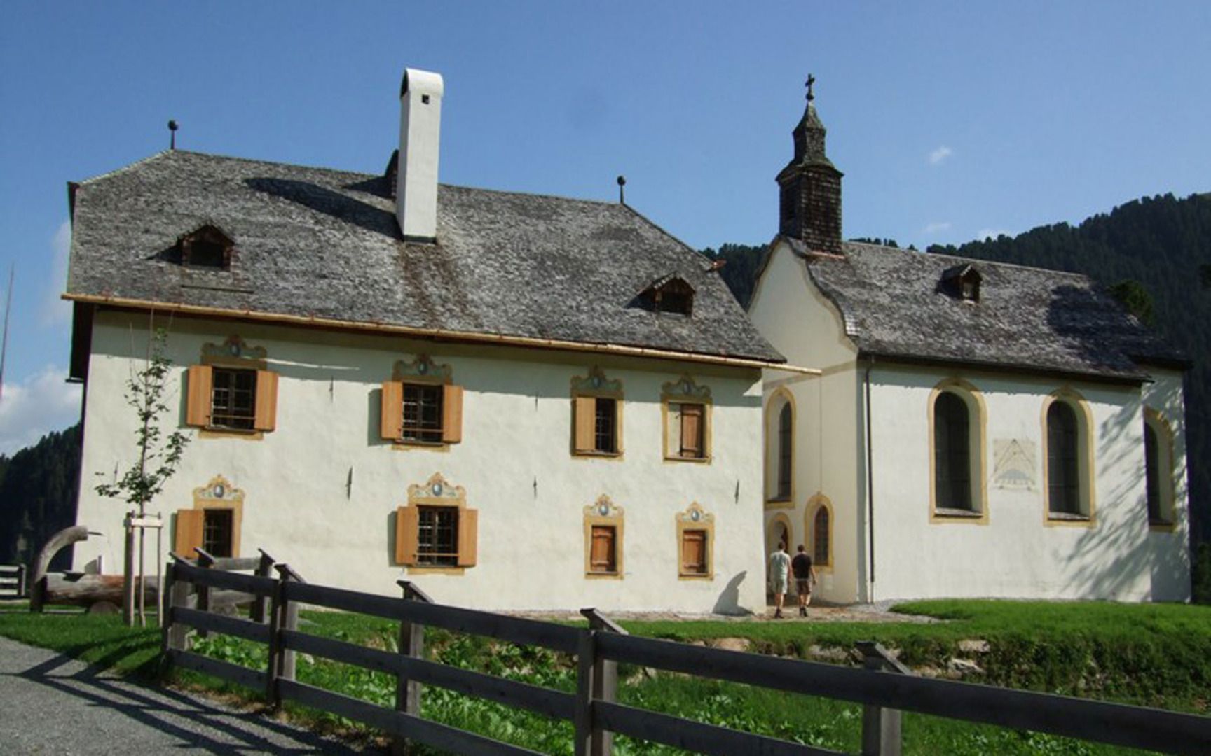

From the centre of Stams, follow the paved road through the village to the hamlet of Hauland. From there, join the forest road, which leads mostly uphill. Several quite steep sections and bends follow before the route flattens out and takes a straighter course. When you come to the Stamser Bach, cross the stream and then continue uphill parallel to the stream to the Stamser Alm mountain hut. Next to the hut is a Rococo chapel with a hunting lodge and a small lake.
The mountain hut Stamser Alm is temporarily closed!


