Description
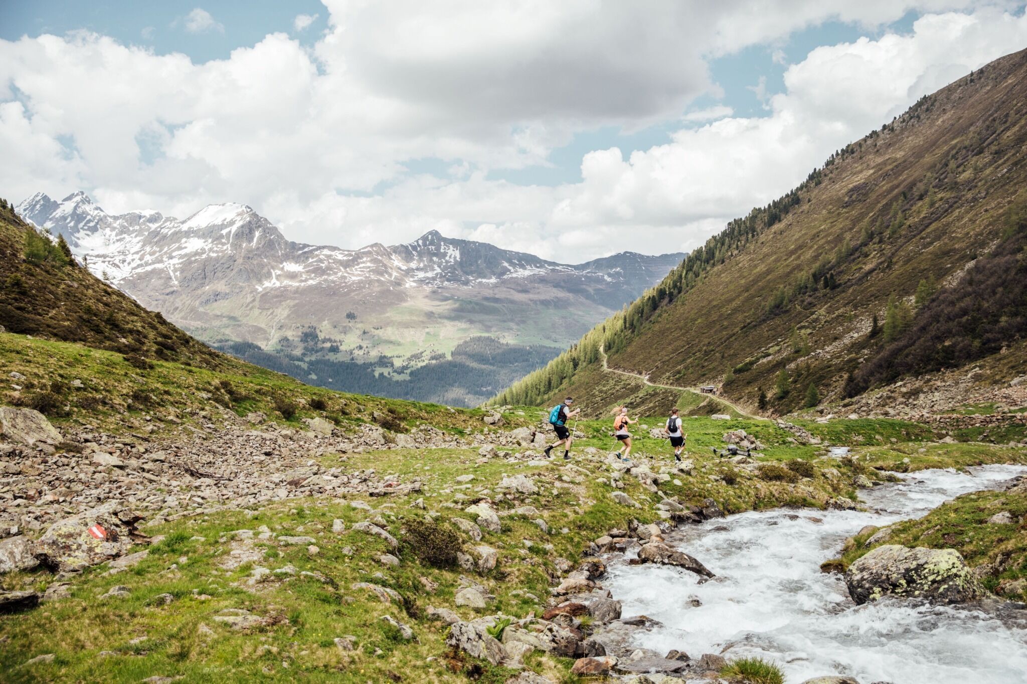
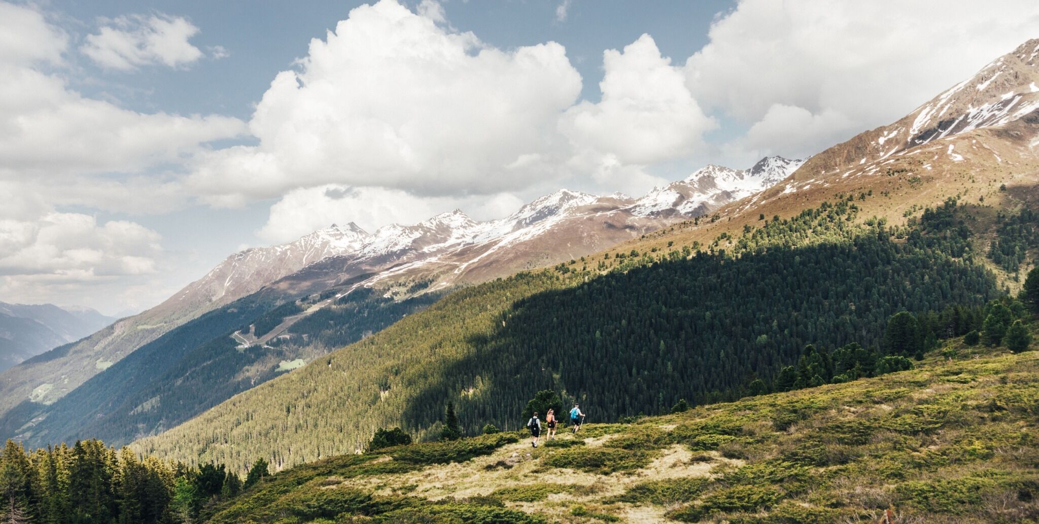
From Ascherhütte we follow the barely used Alpine lodge trail to the mountain station for the 6-seater chair lift operated by Bergbahnen See. A signposted trail starts here, where we follow the lower trail upon soon reaching the fork in the road. We follow this steep trail into Furglertal until the wayside cross and follow the signposts for Masnerjoch. This section takes us above Berglis Wand (also called the black wall) into Bergli; it is relatively exposed and absolutely lives up to its name as an Alpine trail. From the wayside cross in Bergli we follow the signposts for the Restaurant heading down the valley to the crossroads; from here we descend again, passing Fisser Jagdhütte to the isolated Stial Alm at 2050m, where we meet a few Haflinger horses, which spend their summer here. Continue your descent into Flathtal, then there is the final strenuous climb for the day to Gamperthun Alm at 2070m. This Alpine inn is open for business and invites you enjoy a well-deserved rest. (Open mid/end June - mid September) Afterwards continue past Gamperthun mountain chapel along the Alpine trail into Grübeletal to the outer Alpine pasture. From here the footpath branches off after around 500m heading into the valley (signposts, wooden walkway across Grübelebach). Please note tip from those in the know: from here you can make a detour to Grübele See, which you can get to in around 20 minutes. Heading down into the valley via an Alpine trail. The inner Alpine pasture is located at the lake. This mountain lake is wild and romantic and invites you to stay for a while. From the above-mentioned wooden walkway (the outer Alpine pasture) we head down the valley until we come to a forest trail and continue following the Panoramaweg signposts. The Panoramaweg trail offers astonishing views to the town of Kappl and its myriad hamlets. Via a signposted branch-off section we again come to a forest trail and soon pass Rotwegkapelle, before we reach the valley town of Kappl.
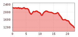
Difficulty: Middle Length: 21.50 km Duration: 8.00 h Ascent: 920 m Descent: 2000 m Highest Point: 2253 m Lowest Point: 1181 m Start: Ascherhütte End: Kappl Height valley: 2244 Height mountain: 1181

.jpg")

.jpg")
.jpg")
.jpg")
.jpg")


