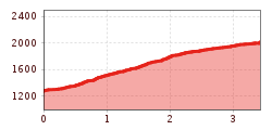
Mountain hikes St. Quirin to the Sellrainer Höhenwanderweg (the Sellrain Valley high-altitude hiking trail)

Sellrain / Stubaier Alpen
Difficulty ratings: medium
Route length: 3.4 km

St. Quirin to the Sellrainer Höhenwanderweg (the Sellrain Valley high-altitude hiking trail)

Tour information

  • Requirement: medium
  • Length: 3.4 km
  • Elevation uphill:747 hm
Highest point2,014 m

Best time of year

  • January
  • February
  • March
  • April
  • May
  • June
  • July
  • August
  • September
  • October
  • November
  • December

Description

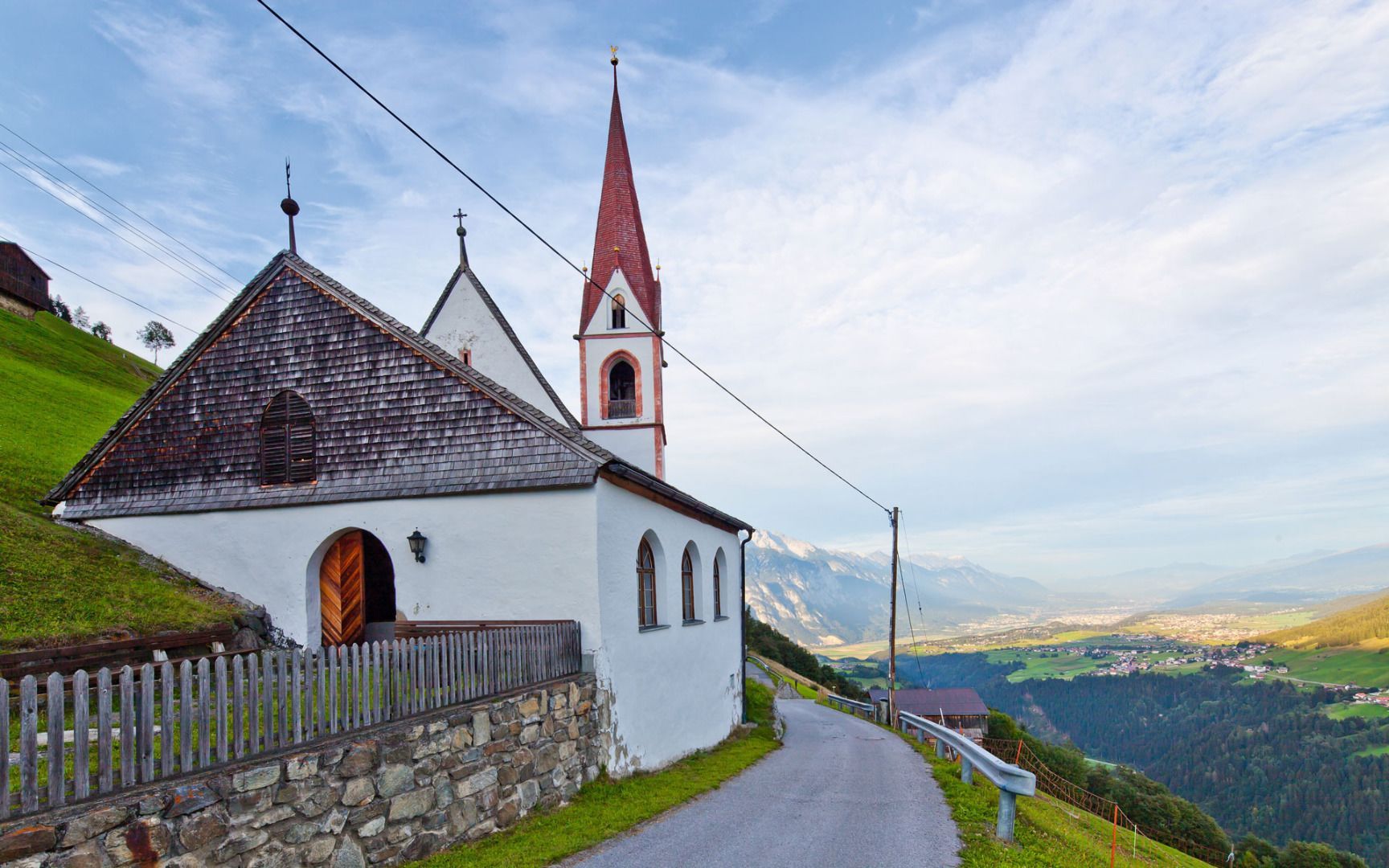
It is possible to start or end a hike along the Sellrainer Höhenwanderweg trail in St. Quirin. From St. Quirin, you can reach the Höhenwanderweg via Meils and the Rifflkreuz cross.

More tours in the surrounding area

Newsletter

The mountain is calling? So does our newsletter!

In our monthly newsletter we reveal the best holiday tips for Tyrol.