Mountain hikes Schwarwald - Taubensee

Kössen /
Difficulty ratings: medium
Route length: 11 km
Duration: 3:30 h

Weg Nr.: 22

Tour information

  • Requirement: medium
  • Length: 11 km
  • Duration: 3:30 h
  • Elevation uphill:630 hm
  • Elevation downhill:630 hm
Highest point 1,176 m

Starting point

Kreisverkehr in Kössen

Finishing point

Kreisverkehr in Kössen

Features

  • Circular route
  • Suitable for families

Best time of year

  • January
  • February
  • March
  • April
  • May
  • June
  • July
  • August
  • September
  • October
  • November
  • December

Trail condition

gravel

Equipment

appropriate clothing, proper footwear, backpack, rain protection, possibly hiking poles, mobile phone, sunscreen, snack (breakfast) and drinks, possibly photo camera

Description

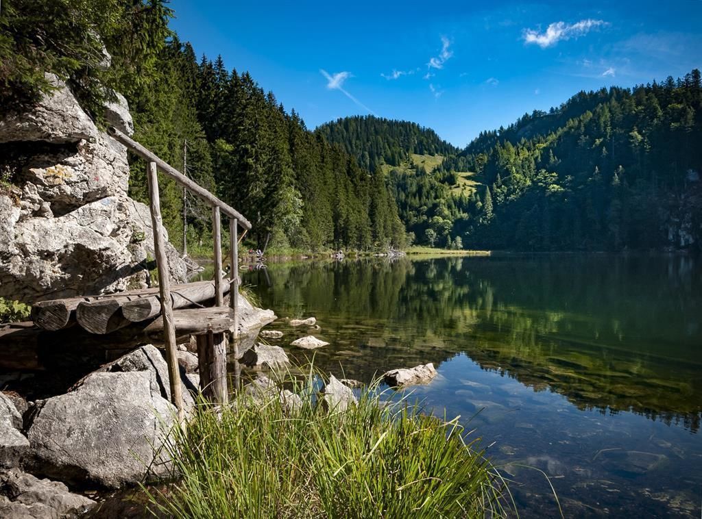
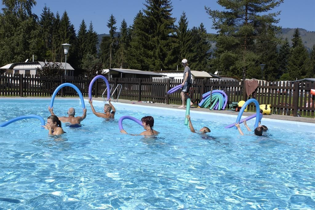
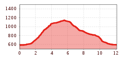
Shortly after the turnoff to the Erlebnis-Waldschwimmbad Kössen, we leave the Klobnsteinstraße on the right on a meadow and forest path and pass through the Forest. Above the Mühlbergbach walk to the branch to Moosen-Alm. Continue on path no.21.

Getting here

  • Arrival by public transport

    Take the bus line 4030, 4000 or 9509 to the stop VZ Kaiserwinkl
    (or take the line 9509 to the stop Erlebnis-Waldschwimmbad - is a bit closer to the starting point of the hike)

    https://naturtrip.kaiserwinkl.com/poi/253754

  • Parking

    At the parking lot VZ Kaiserwinkl.

  • Contact

    Schwarzwald - Taubensee - Nr. 22
    ****

More tours in the surrounding area

  • Taubensee

    Difficulty: medium
    Length: 13 km Duration: 5:00 h Elevation uphill: 620 m
Newsletter

The mountain is calling? So does our newsletter!

In our weekly newsletter we reveal the best holiday tips for Tyrol.