
Difficulty:
medium
Length:
3.0 km
Duration:
3:00 h
Elevation uphill:
490 m
Awarded hiking trail of the state of Tyrol

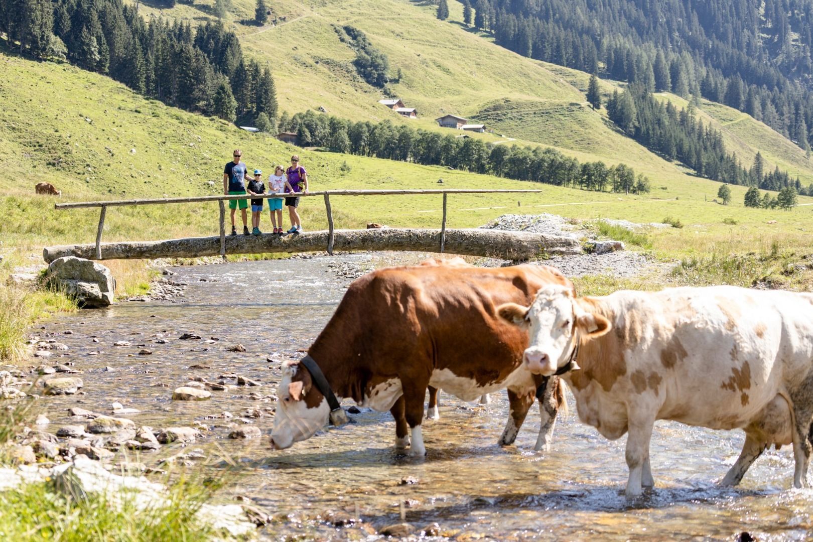
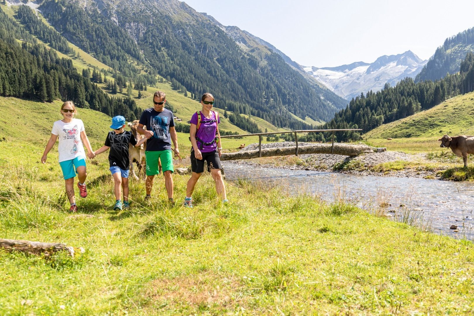
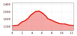
From Gerlos it goes into the Schönachtal. At the beginning of the valley entrance (parking lot, barriers) you cross a bridge and this is where the ascent to Schönbichl (path no.5) begins. You pass the Kreidlschlagalm and walk through a small piece of forest to Filzegg. From here it climbs moderately uphill to the summit of Schönbichl (2049 m). Once at the top you have a 360 ° panoramic view. From there you hike on a path (no. 5) along the ridge to the south. Until you turn right at the Lahnerhöhe (1963 m) and begin the descent over the Hochlahneralm and later the Lahneralm. When you arrive at the bottom of the Schönachtal, you hike out the valley and after a short stop at the Jörgleralm you go back to the starting point.
This hike is also possible in the opposite direction!
Total walking time: approx. 5 hours


