Arrival by public transport
By bus, take the line 4030 to the stop VZ Kaiserwinkl
https://naturtrip.kaiserwinkl.com/poi/253594
Premium hiking trail through the Entenlochklamm
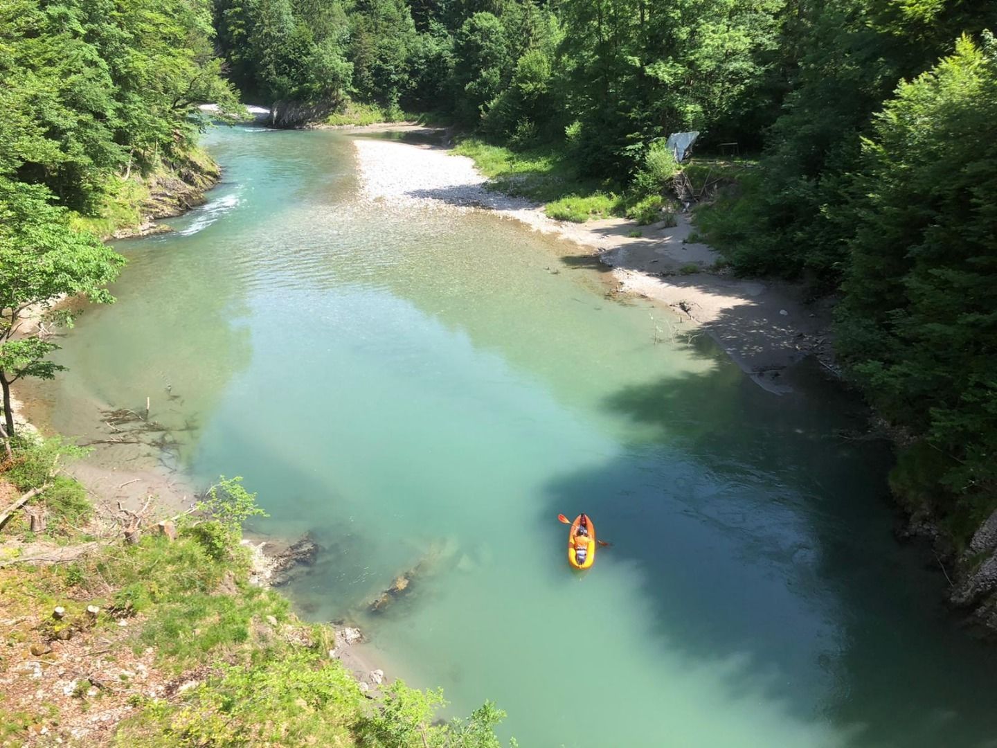
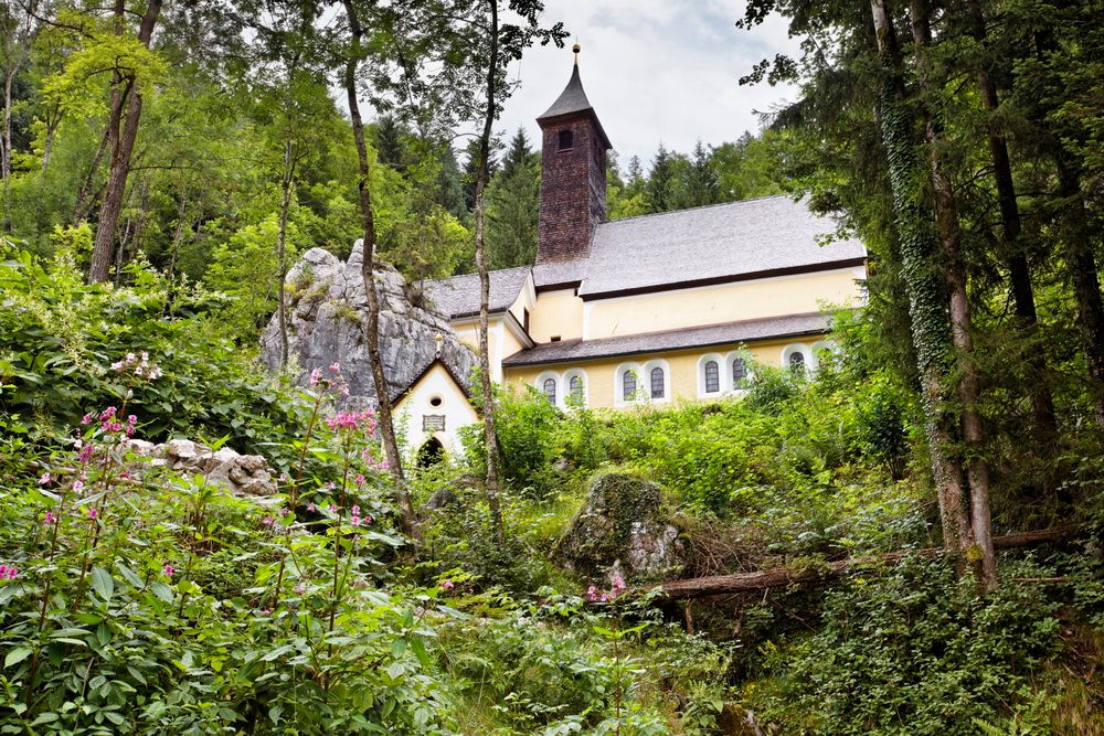
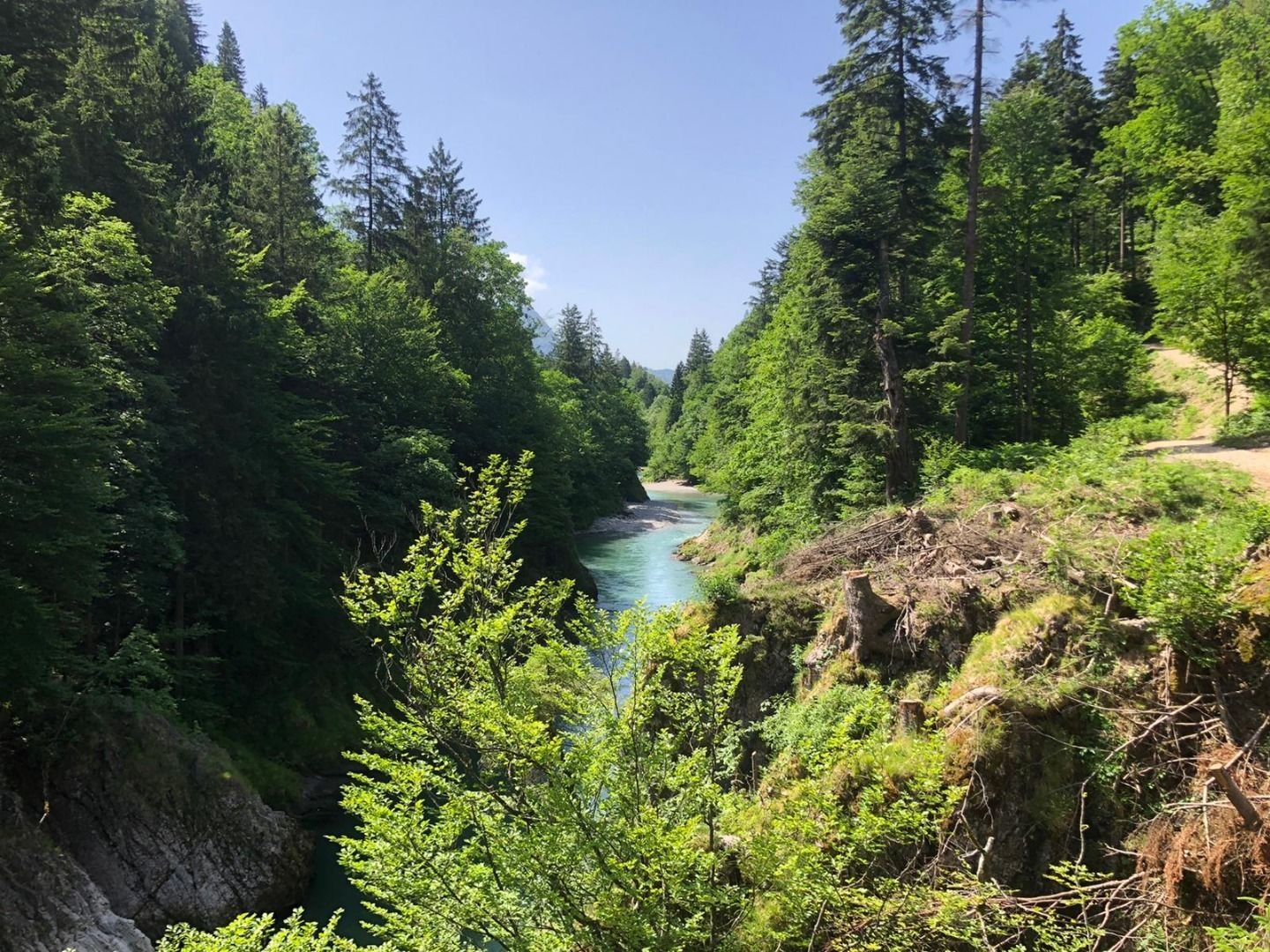
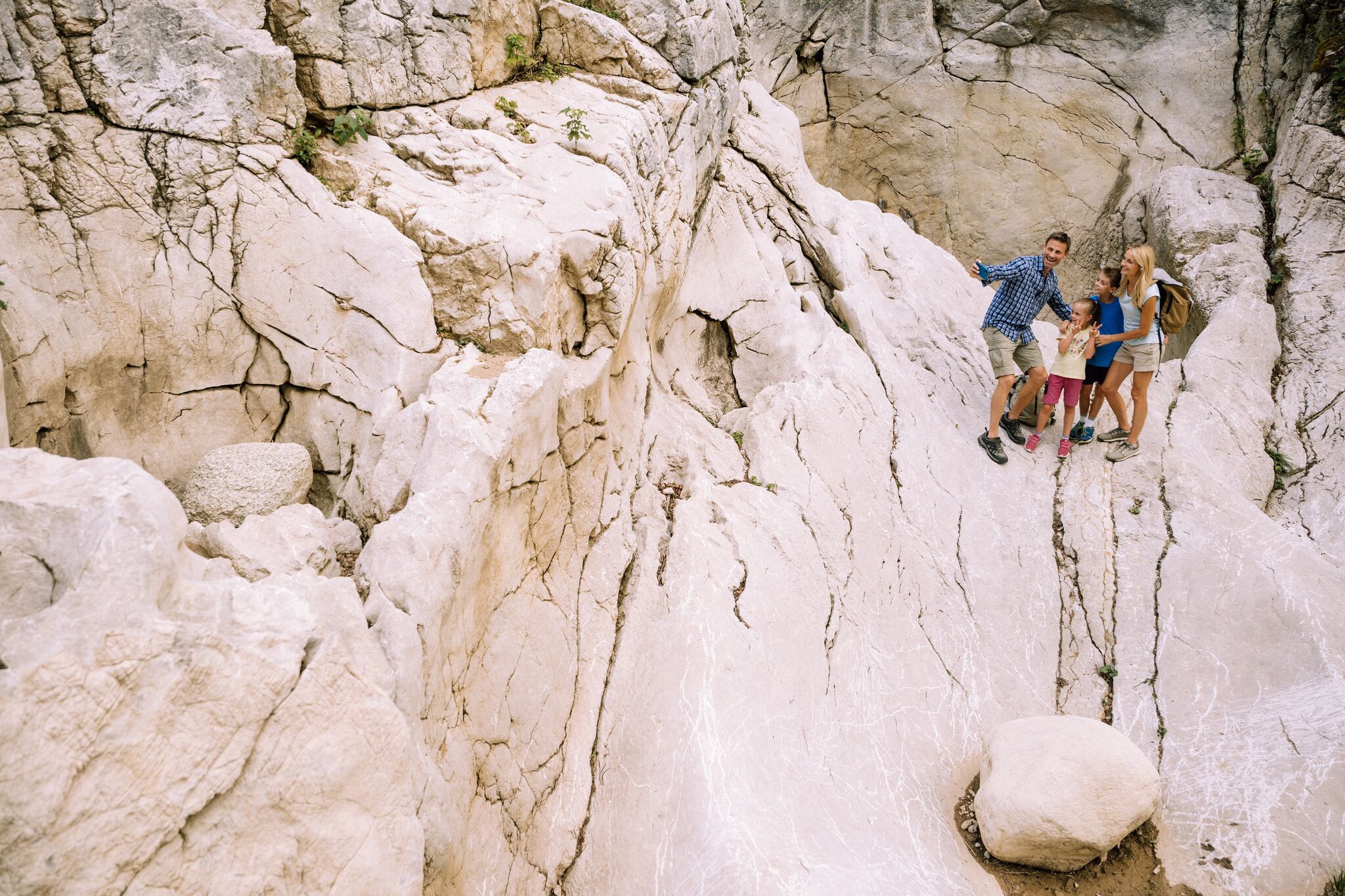

IN THE ALPINE CANYON BETWEEN BAVARIA & TYROL
From the village centre of Kössen turn into Mühlbachweg at the alpine dairy, use the underpass of the federal road and cross the Staffenbrücke. At the next crossing take the road to the right (Staffen) and after a few meters turn right again at the sign Klobenstein. Passing the Niederwies farm, the path joins the charming Schmugglerweg. Over the 33m long suspension bridge you reach the pilgrimage place Klobenstein.
If you follow the path through the mixed forest along the Tiroler Ache, you will reach Ettenhausen in Bavaria after about 3.5 km.
By bus, take the line 4030 to the stop VZ Kaiserwinkl
https://naturtrip.kaiserwinkl.com/poi/253594
At the VZ Kaiserwinkl in Kössen. There is a e-charging station.
The parking lot is free of charge.

