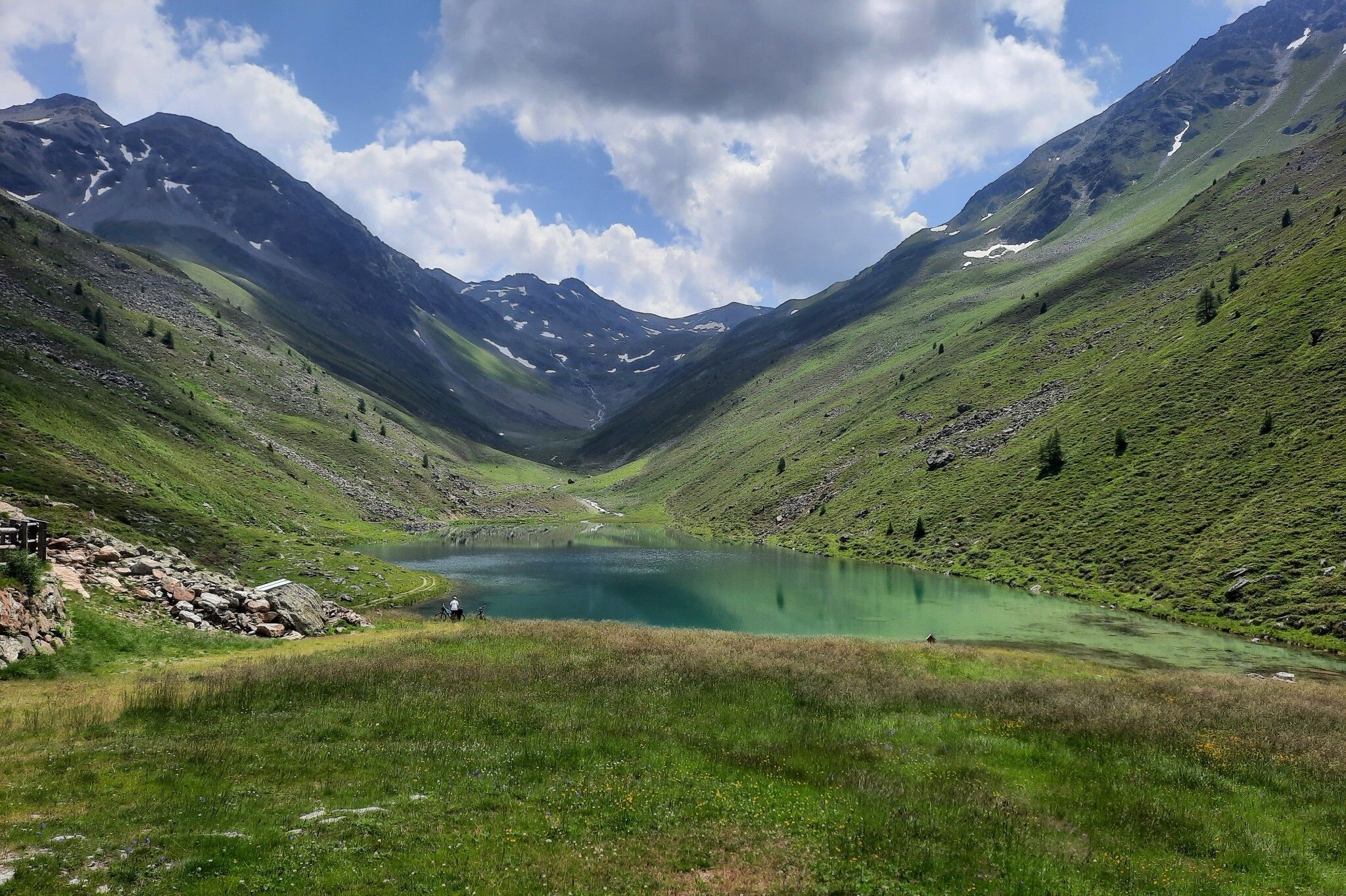
Mountain hikes S.2.: Gamperthunalpe - Grübelesee

See /
Difficulty ratings: medium
Route length: 22 km
Duration: 7:30 h

Moderately difficult hike from See valley station Medrigjochbahn to Gamperthunalpe

Tour information

  • Requirement: medium
  • Length: 22 km
  • Duration: 7:30 h
  • Elevation uphill:1266 hm
  • Elevation downhill:1153 hm
Highest point 2,122 m

Starting point

See Medrigjochbahn valley station

Finishing point

Labebene bus stop

Best time of year

  • January
  • February
  • March
  • April
  • May
  • June
  • July
  • August
  • September
  • October
  • November
  • December

Wegbeschaffenheit

Gravel, forest floor

Description

Starting from the cable car valley station in See, follow the old valley road towards Kappl to the hamlet of Habigen. From here, follow the signposted and marked path to the beautiful Gamperthunalpe at 2.070 m. You can continue on a wide path to the crystal clear Grübelesee, one of the largest mountain lakes in the Paznaun, in which the magnificent panorama of the Alps is reflected.

Return section: during the descent walk along the Grübelebach to the hamlet of Labebene. Return to See comfortably by bus or taxi.


Getting here

More tours in the surrounding area

Newsletter

The mountain is calling? So does our newsletter!

In our weekly newsletter we reveal the best holiday tips for Tyrol.