Contact
Wasserfallweg - Alpenrosensteig
****
On this fantastic mountain tour on Westendorf's local mountain, you will cross mainly original hiking and Alpine pastures! Both paths live up to their name: on the waterfall path you pass several small waterfalls and in May/June the walk along the Alpenrosensteig leads through a sea of blooming Alpine roses!
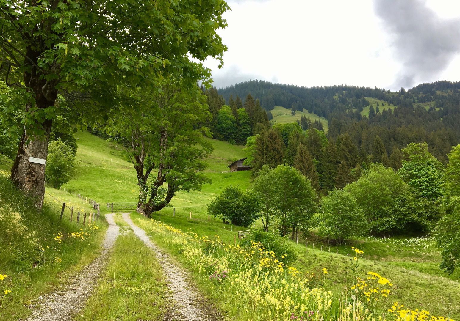
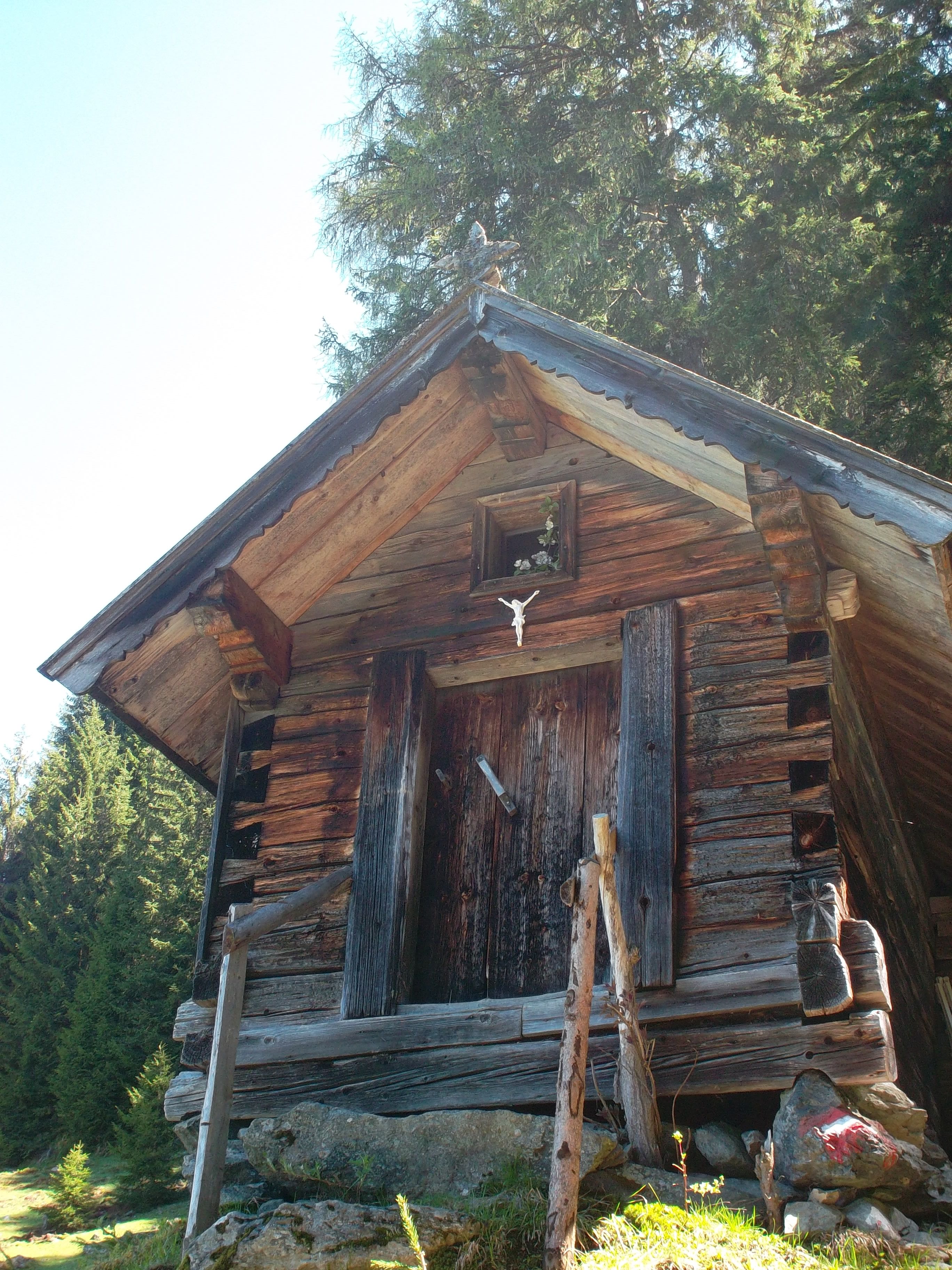
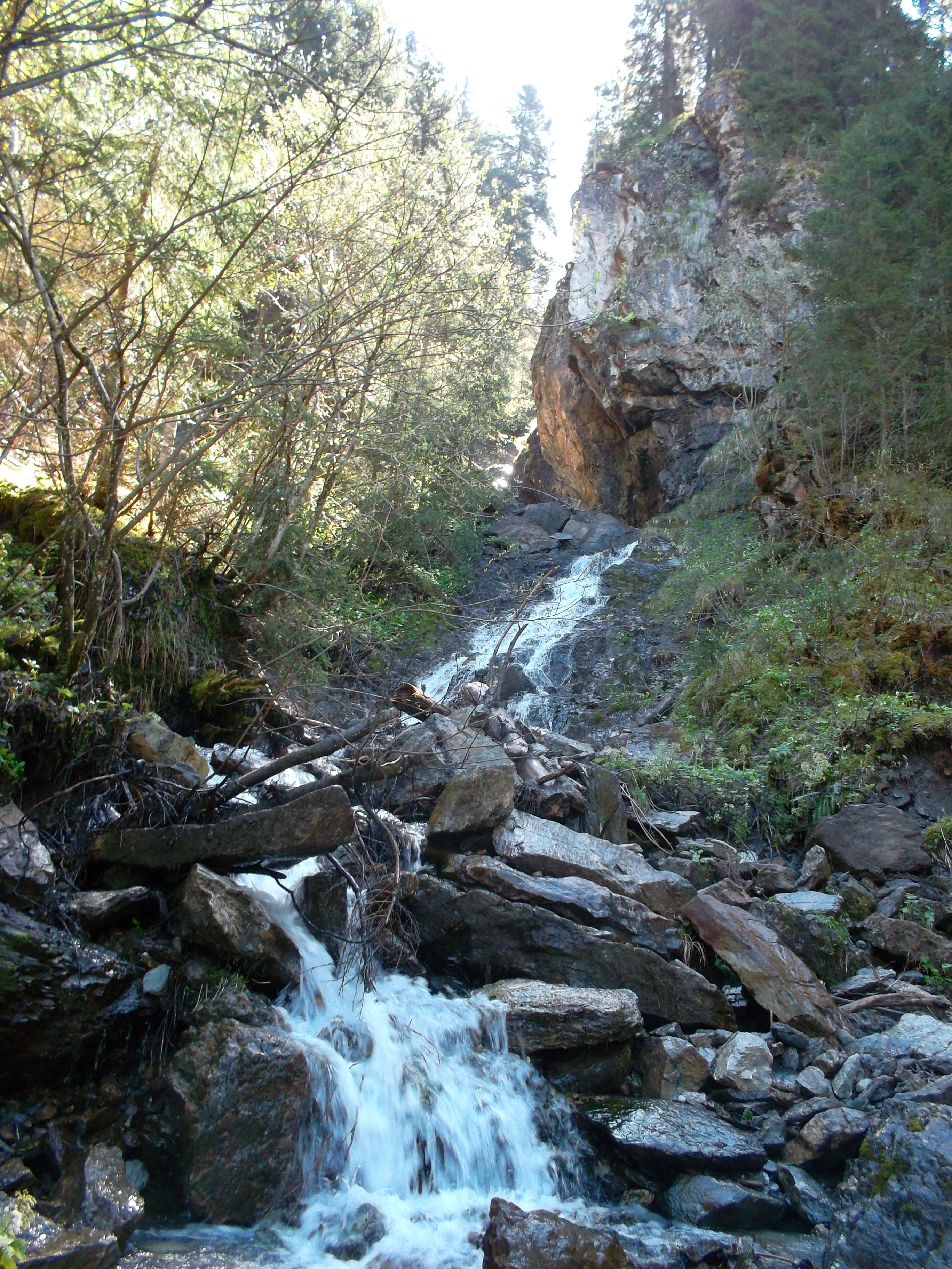

We take the Alpenrosenbahn to the middle station and start our hike from there. Initially we walk downhill until shortly after the Gasthof Maierhof mountain inn. At the fork in the road we keep to the left and continue downhill for a few more metres. In a sharp right turn we turn left into the hiking trail of the Waterfall route. We pass some small waterfalls and after a rather steep ascent we come to a forest road. Follow this road down the valley until you reach the Hampferalm or its chapel. At the chapel we turn left and walk uphill again on a beautiful hiking trail. At the end of this path you will reach a forest road. Here we keep to the right and pass below the Neuhegenalm and now come to a larger fork in the road. We walk uphill (left) and reach the Fleidingalm after about 15 minutes.
Info: If you go downhill (right) you will reach the Schrandlhof, then onwards to Westendorf’s village centre.
At the Fleidingalm, the path forks again: if you go right, you come to the Brechhhornhaus. But keep left, walk uphill for about 500m and you will see a cattle grid. (The road would lead us to the mountain-top station.) At the cattle grid we turn left into the Alpenrosensteig. This beautiful hiking trail leads us to the Alpenrosenhütte. From the Alpenrosenhütte we can either follow the road to the middle station, or take a few short cuts along small Alpine paths (observing signposts).
Wasserfallweg - Alpenrosensteig
****


_FULL12.jpg")


