
Opening hours:Open today
Place:Scheffau am Wilden Kaiser
:Alpine pasture / hut / mountain restaurant
A hike on varied paths around the Achleitberg.
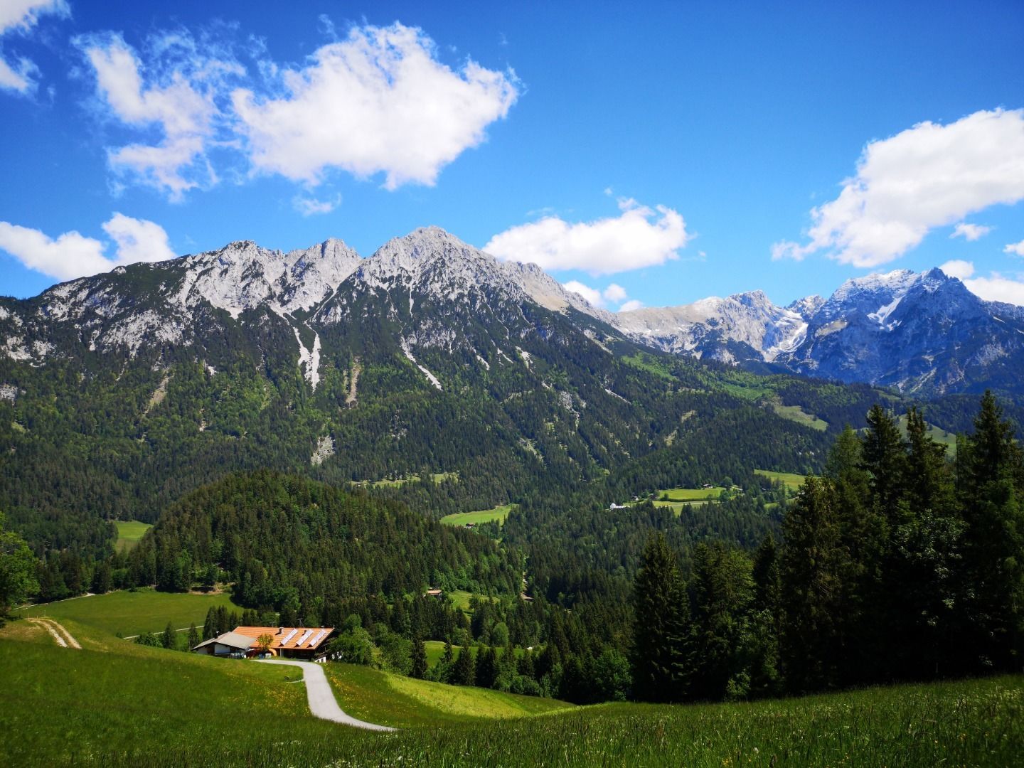
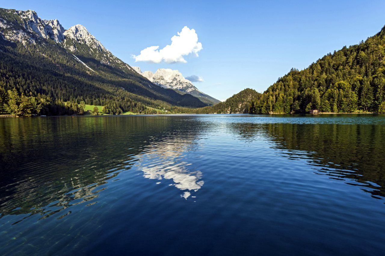
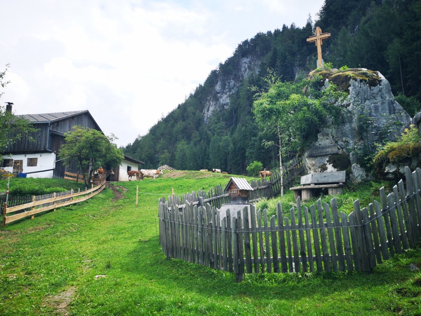
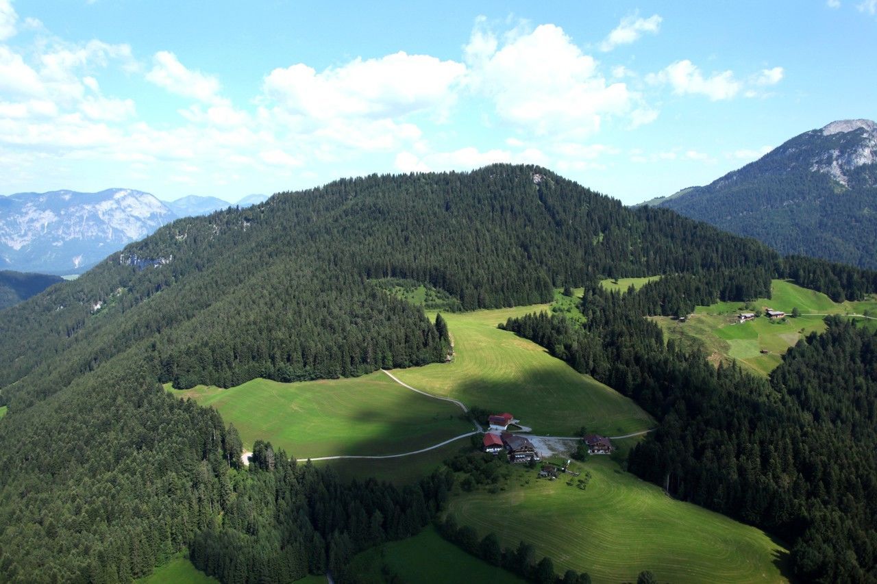
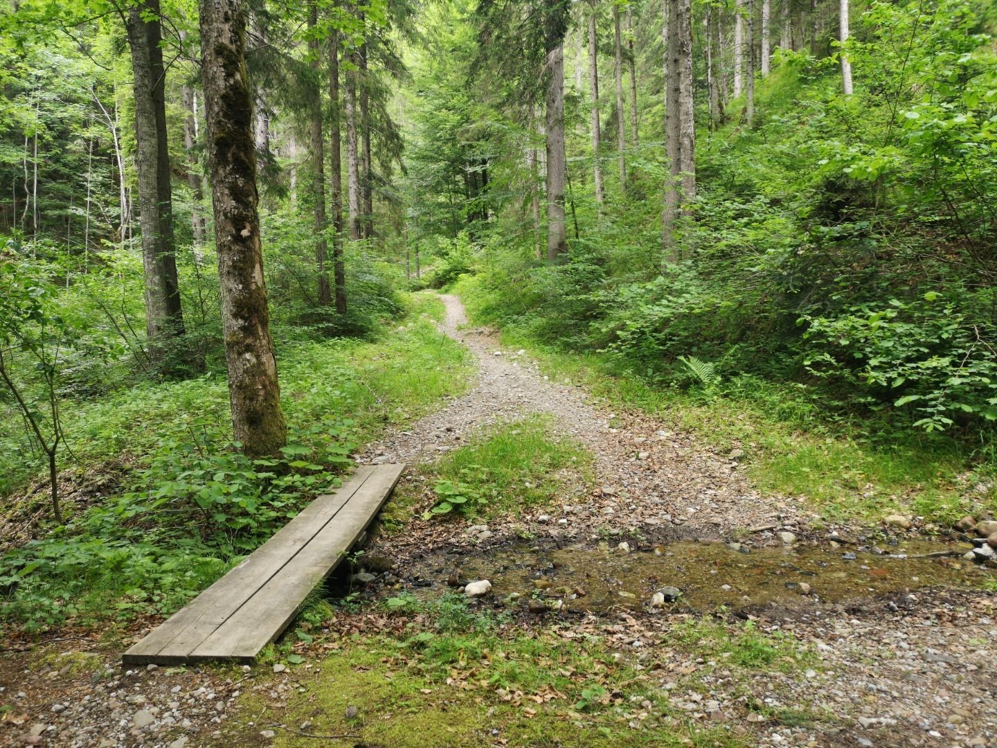
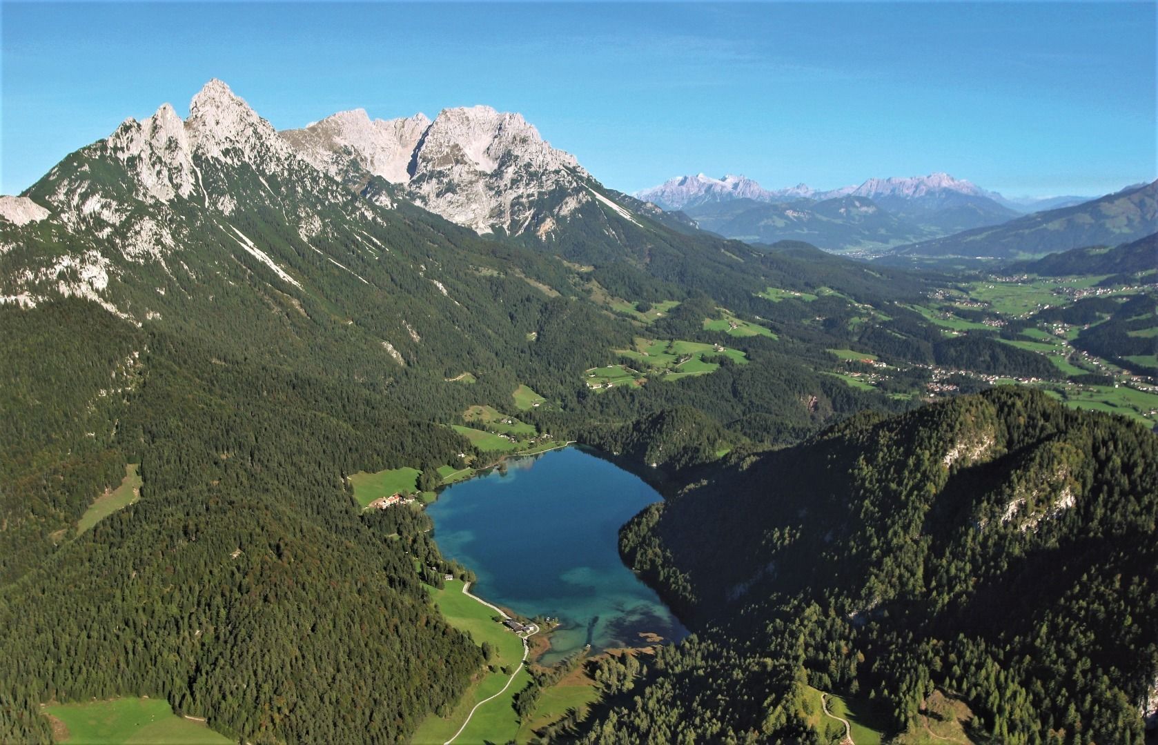
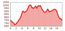
Starting point is the community hall Scheffau. Follow the road (no. 56) towards Söll and Hintersteiner See via Seebachgraben. After a short downhill section through the forest, turn right and walk along the Seebach creek (no. 43) to the Grüblernhof farm. Here you turn left and just before the parking lot at the lake turn left again towards Greidern / Achleiten. Now follow hiking path no. 57 to the former Achleiten inn, to the Tischleralm and to the Hintersteiner See. On the south bank of the lake with a view of the Wilder Kaiser you hike on the path (no. 822) to the Seestüberl, further to the Bärnstatt inn and a few hundred meters after that, turn left to the Steinerhof. Here you continue on the path (No. 822) and through the Rehbachklamm (No. 42) back to the center of Scheffau.
KaiserJet/Postbus stop “Scheffau Dorf”.
More information at: www.wilderkaiser.info/mobil
Public car park, Scheffau (740 m), north of the Community Hall - free


