Mountain hikes Rotpleiskopf (2.936 m) from Komperdell

Serfaus / Samnaungruppe
Difficulty ratings: difficult
Route length: 5.5 km
Duration: 5:00 h

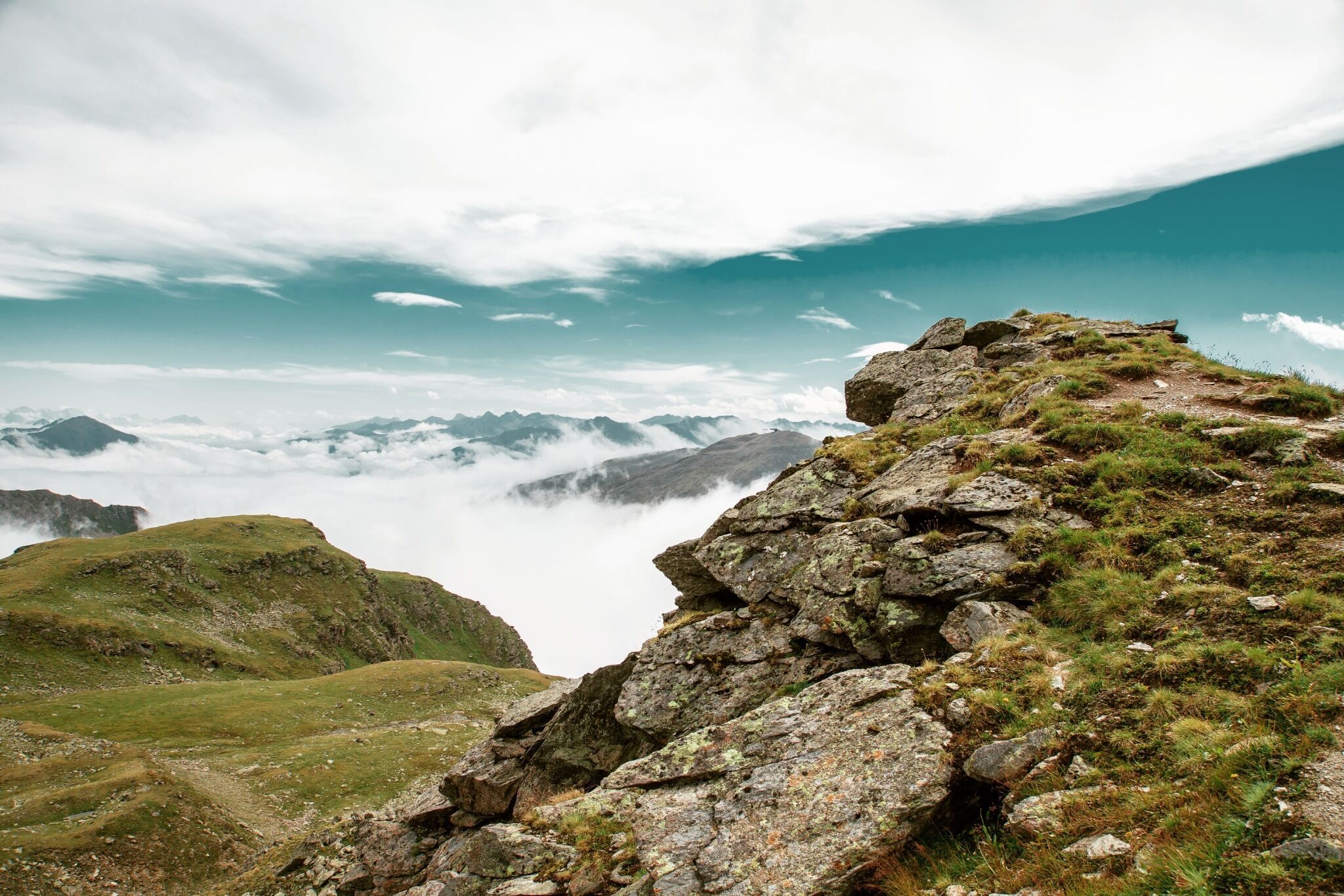
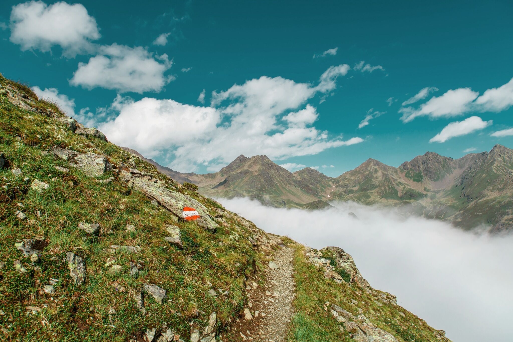
High alpine mountain tour on narrow trail with some snowfields.

Tour information

  • Requirement: difficult
  • Length: 5.5 km
  • Duration: 5:00 h
  • Elevation uphill:1,084 hm
  • Elevation downhill:140 hm
Highest point2,808 m

Starting point

Komperdell top station

Finishing point

Rotpleiskopf

Description

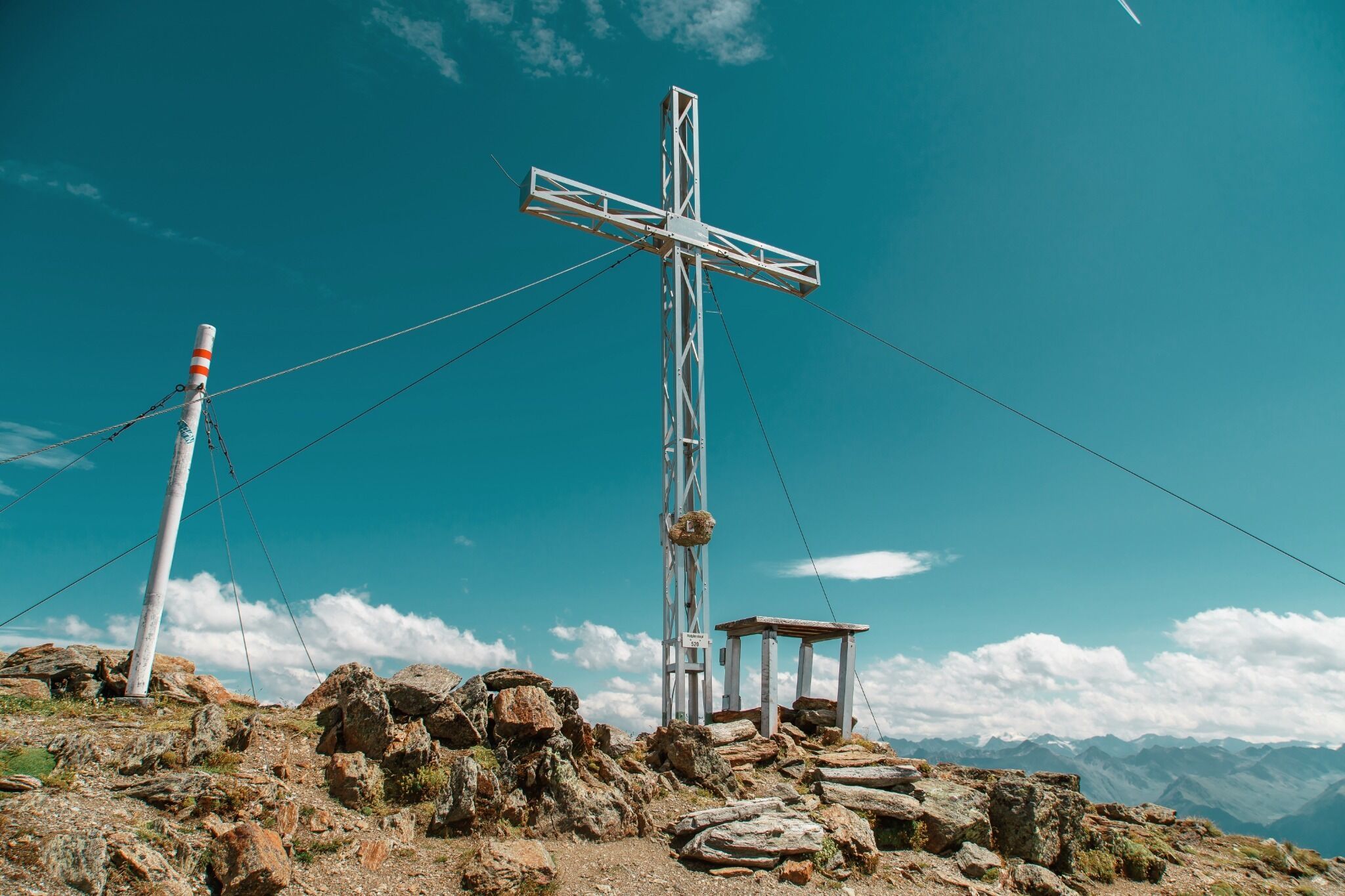
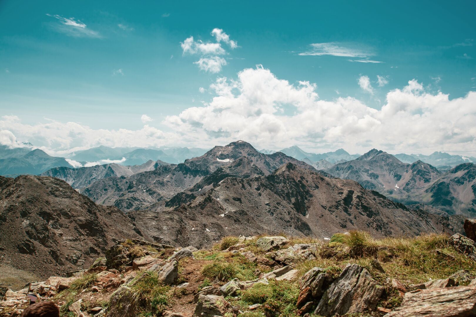
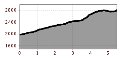
 Ascent over the Unteren Glockhäuser lakes (S261) to the Urgjoch (S271). From there over scree and some snowfields to the Kübelgrubenscharte (S273). Short descent to the crossing (S276).Then ascent to the summit (S275).

More tours in the surrounding area

Newsletter

The mountain is calling? So does our newsletter!

In our monthly newsletter we reveal the best holiday tips for Tyrol.