Contact
Rinner Alm
Rinner Berg 1
6074 Rinn
Rinner Alm, mountain hut

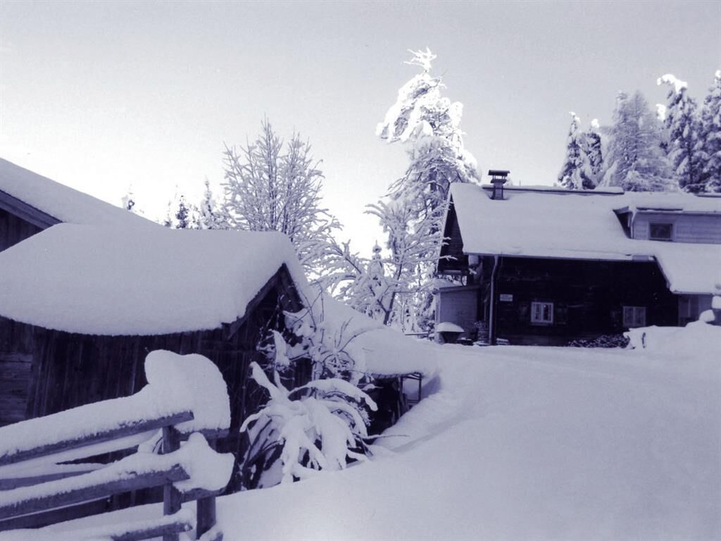
This alpine hut was built in 1927 and contains two small lounges, one of them with a cosy fireplace. The pine furniture ensures plenty of space in which to enjoy the wonderful views of the Inn Valley and the Karwendel range on the valley's ooposite side.
How does a meal of ham, cheese and dumplings sound after a good hike or mountain-bike tour? Rinner Alm alpine hut is the perfect place. It takes just over an hour on foot from Rinn throught the forest or along the trail, and the mountain-bike track, which becomes a toboggan run in winter, is separate from the hiking trail.
In the winter, the toboggan track departs right from the hut (snowmaking - illuminated on Tuesdays Fridays and Saturdays from 7.00 pm - 11.00 pm).
Open in summer from late April to October.
Open in winter from December to mid-February.
Closed on Mondays.
Rinner Alm
Rinner Berg 1
6074 Rinn


