
Mountain hikes Rieserweg to the Erlebnispark Hög

open
Serfaus / Samnaun Group
Difficulty ratings: medium
Route length: 7.3 km
Duration: 2:30 h

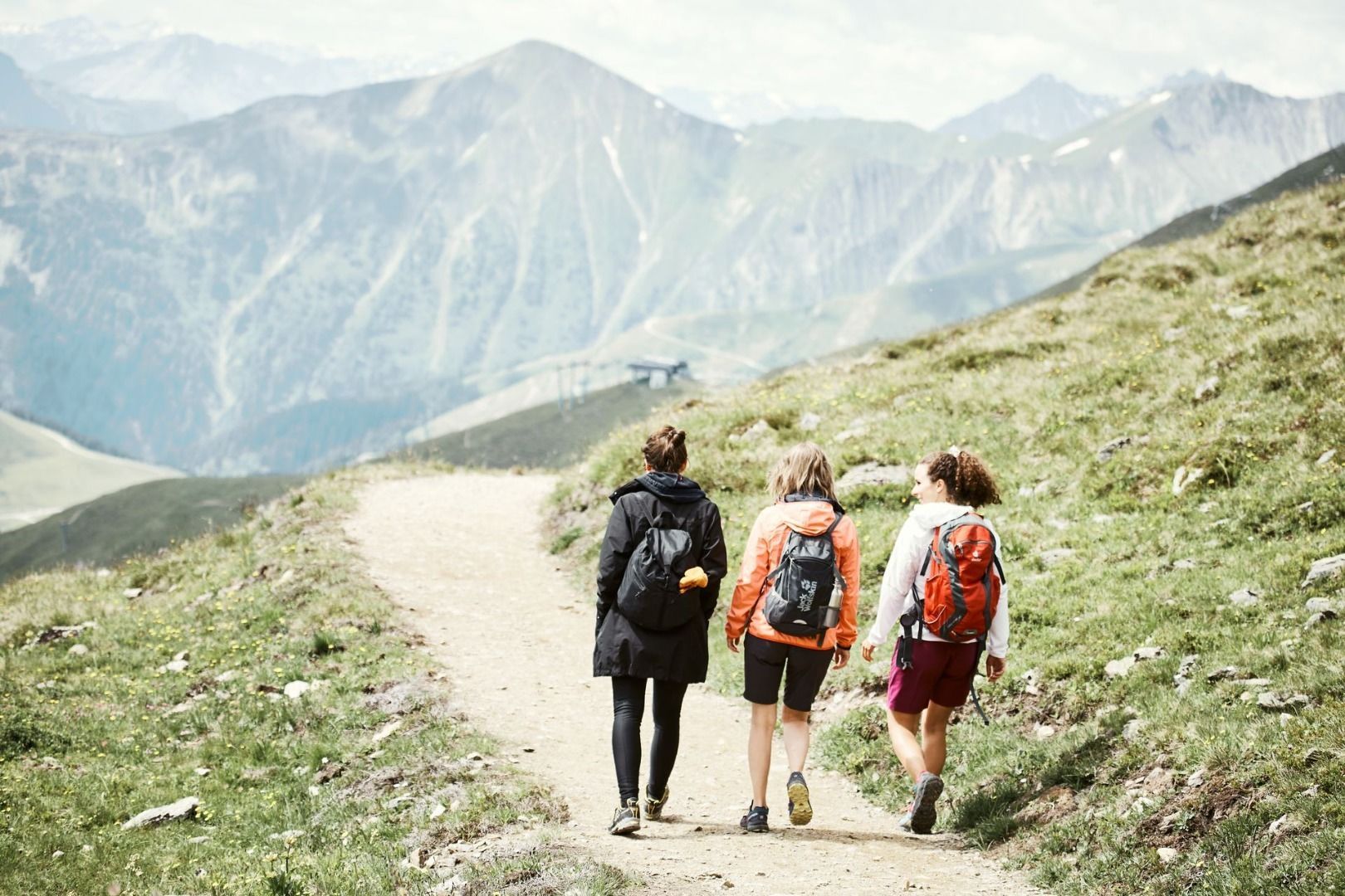
A varied hike from Serfaus to Erlebnispark Hög. The trail leads through idyllic scenery and offers beautiful views of the surrounding mountains.
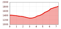
Tour information

  • Requirement: medium
  • Length: 7.3 km
  • Duration: 2:30 h
  • Elevation uphill:545 hm
  • Elevation downhill:156 hm
Highest point1,774 m

Starting point

St. Zeno Brücke (Planq. D4)

Finishing point

Hög
  • Fitness level 2 / 6

Best time of year

  • January
  • February
  • March
  • April
  • May
  • June
  • July
  • August
  • September
  • October
  • November
  • December

Trail condition

Gravel
Source: Serfaus-Fiss-Ladis

Description

From Serfaus over the Zeno Brücke bridge, at signpost (S088) downwards to the crossing (S162). Pass the chapel left on trail no. 5 to the crossing at St. Georgen (S170), then turn right, continue on Rieserweg trail no. 5 to the crossing (S183). Hike the relatively steep trail to the crossing (S127), along a broad trail to the signpost (S126) and on trail no. 12a to the Hög (observatory).

Nearby huts and mountain restaurants

Getting here

  • Arrival by public transport

    Take the bus to Serfaus. From there, walk to St. Zeno Bridge, the starting point of the tour.

  • Parking

    Parking is available at the car park at the entrance to Serfaus. From there, you can take the underground railway to the village centre or the starting point of the tour.

Weather

Today

partly Cloudy
18°C/9°C
15%0l5 km/h

Fri

light rain showers
18°C/9°C
55%1.5l5 km/h

Sat

mainly clear
21°C/8°C
0%0l5 km/h
Go to weather forecast

More tours in the surrounding area

  • Marmot Trail

    Opening hours:open
    Difficulty:easy
    Length:573 mDuration:0:20 hElevation uphill:12 m
  • Wild Animals Trail

    Opening hours:open
    Difficulty:easy
    Length:1.5 kmDuration:0:31 hElevation uphill:1 m
  • Panorama - Genussweg

    Opening hours:open
    Difficulty:easy
    Length:1.1 kmDuration:1:15 hElevation uphill:282 m
  • Murmeltiersteig (Marmot alpine trail)

    Opening hours:open
    Difficulty:medium
    Length:6.9 kmDuration:3:00 hElevation uphill:302 m
  • Oberer Spinnsee

    Opening hours:open
    Difficulty:medium
    Length:11.2 kmDuration:5:00 hElevation uphill:427 m
  • Fiss to the Oberen Sattelkopf

    Opening hours:open
    Difficulty:medium
    Length:5.6 kmDuration:3:00 hElevation uphill:1,057 m
  • Forscherpfad

    Opening hours:open
    Difficulty:easy
    Length:3.4 kmDuration:1:30 hElevation uphill:219 m
  • Six Senses trail

    Opening hours:open
    Difficulty:easy
    Length:6.5 kmDuration:4:00 hElevation uphill:99 m
Newsletter

The mountain is calling? So does our newsletter!

In our monthly newsletter we reveal the best holiday tips for Tyrol.
