Mountain hikes Radfelder Höhenweg

Radfeld /
Difficulty ratings: medium
Route length: 14 km
Duration: 5:00 h

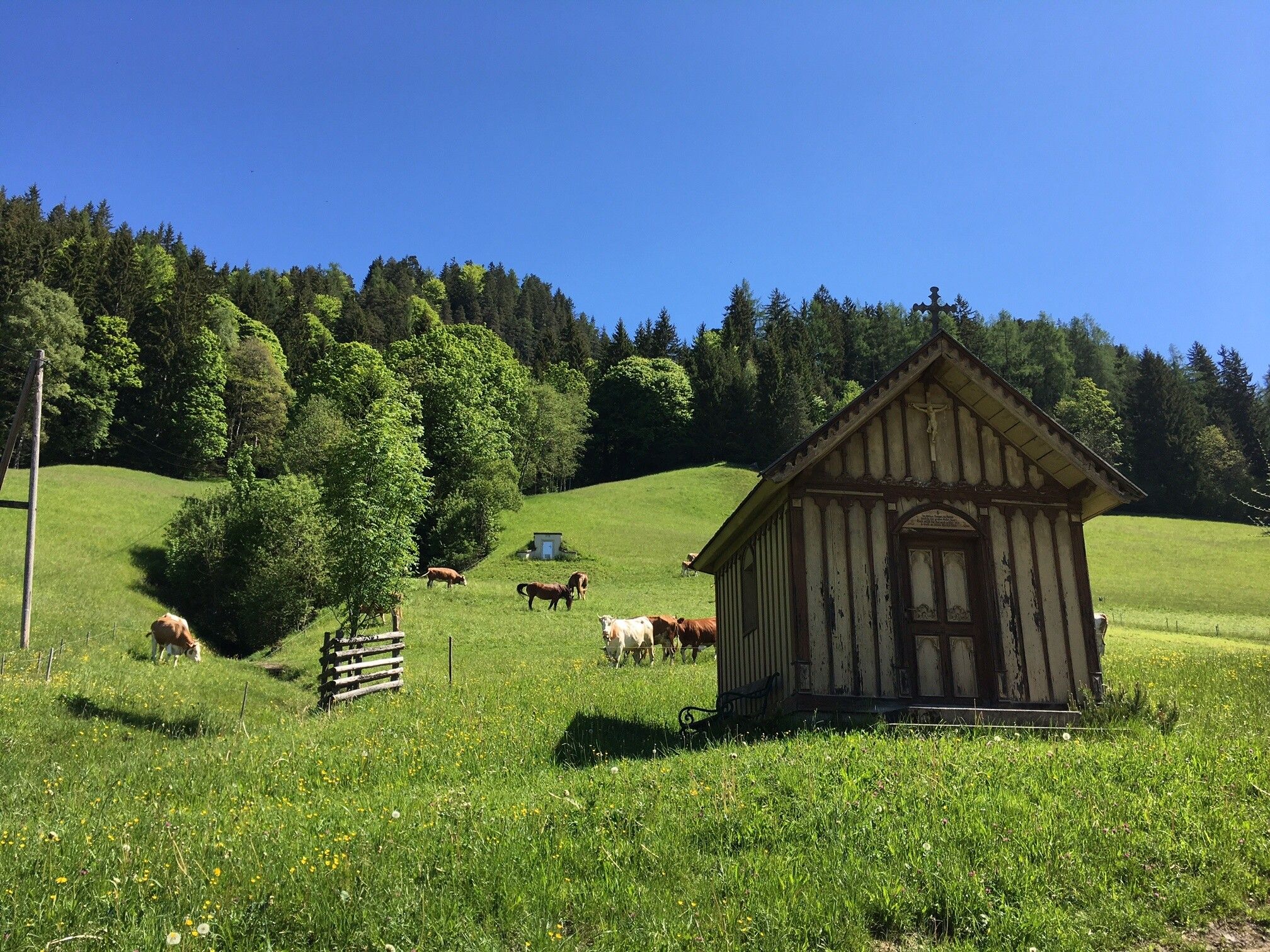
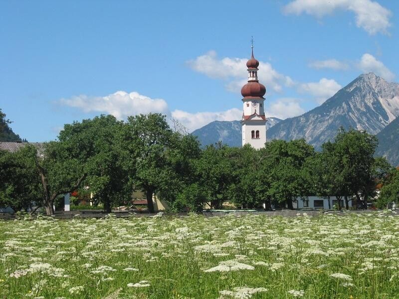
A charming hike through woods and fields
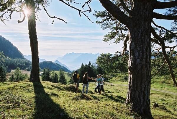
Tour information

  • Requirement: medium
  • Length: 14 km
  • Duration: 5:00 h
  • Elevation uphill:627 hm
  • Elevation downhill:627 hm
Highest point 1,087 m

Starting point

Radfeld

Finishing point

Radfeld
  • Fitness level 4 / 6

Best time of year

  • January
  • February
  • March
  • April
  • May
  • June
  • July
  • August
  • September
  • October
  • November
  • December

Description

Walk past the allotment gardens/shooting range in Rattenberg up to the “Wald“ chapel. Turn left walking towards a clearing in the woods (Wiesel) and on along the B25 to the Hauskogl and on to Zimmermoos. Take the B14 path to Grafenried. Follow the forest track downhill and walk back to Radfeld / Rattenberg. 

Getting here

  • Parking

    Rattenberg (east) cemetery car park

  • Contact

    Radfelder Höhenweg

    ****

More tours in the surrounding area

Newsletter

The mountain is calling? So does our newsletter!

In our weekly newsletter we reveal the best holiday tips for Tyrol.