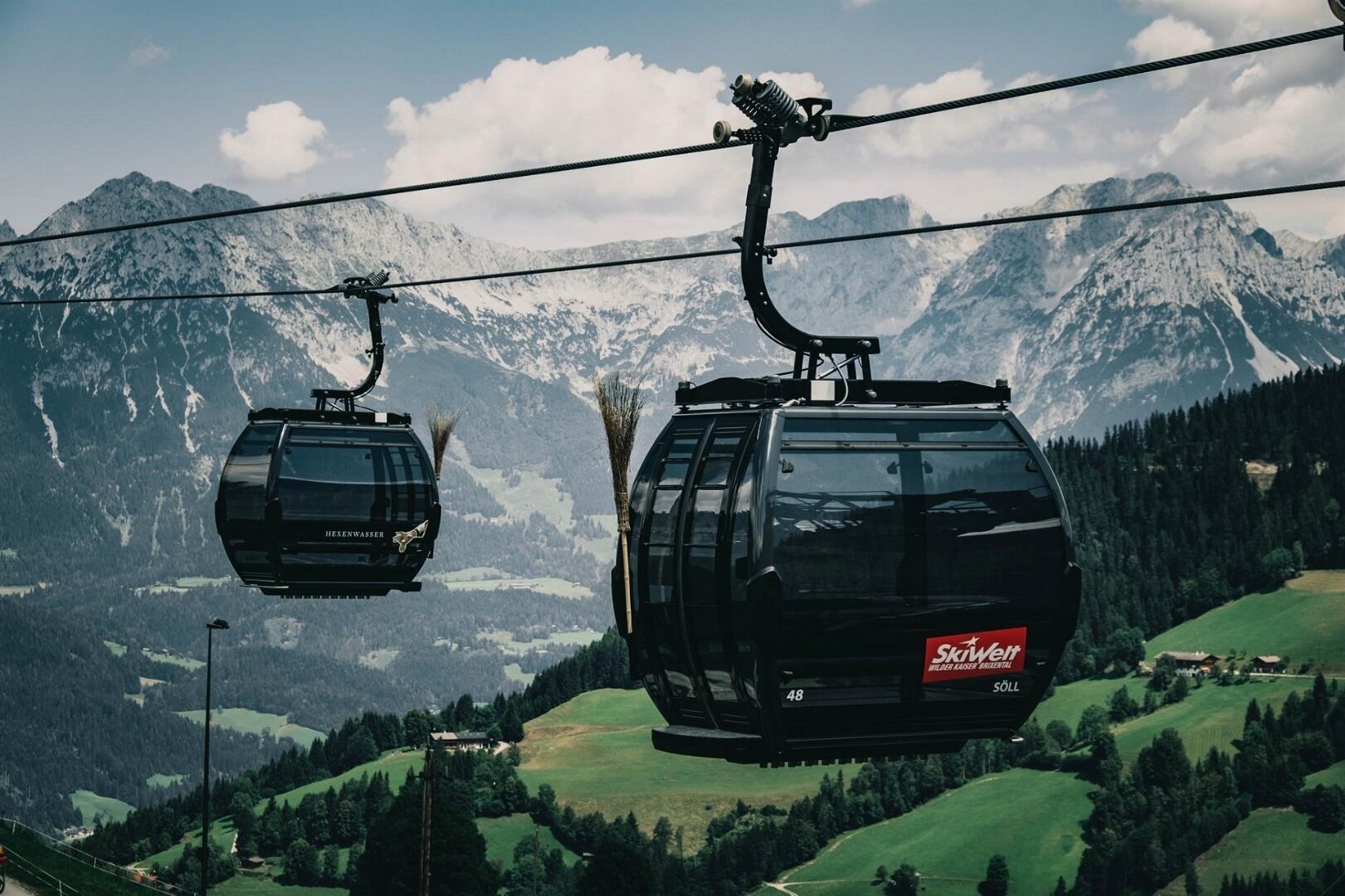
Arrival by public transport
KaiserJet stop “Söll Gondelbahn Hochsöll – Hexenwasser”.
More information at: www.wilderkaiser.info/mobility
Enjoy the scenic area of the Hohe Salve where the Söll waters originate.
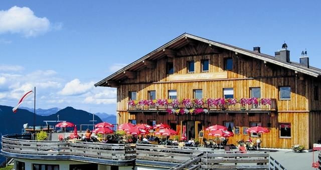
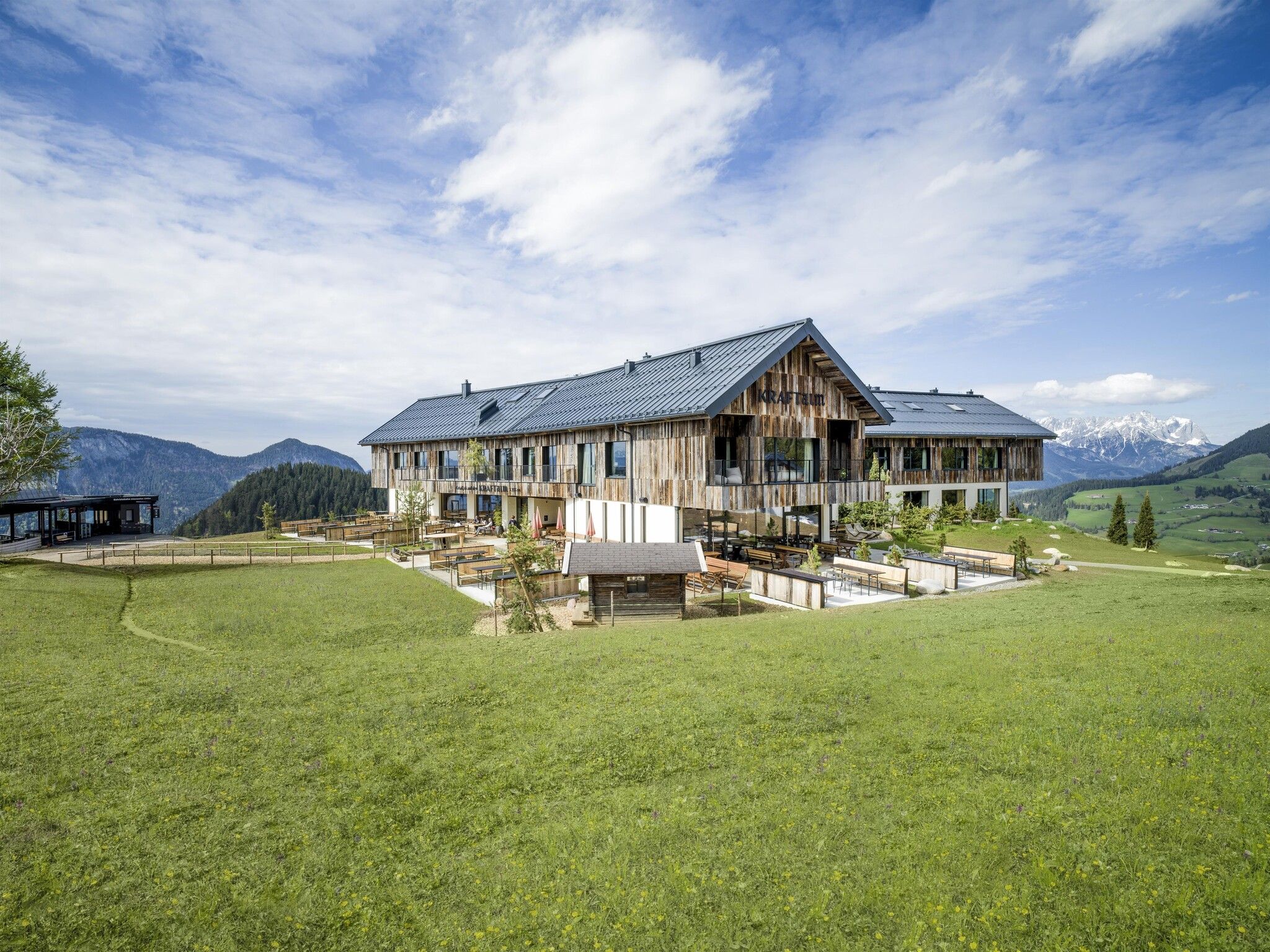
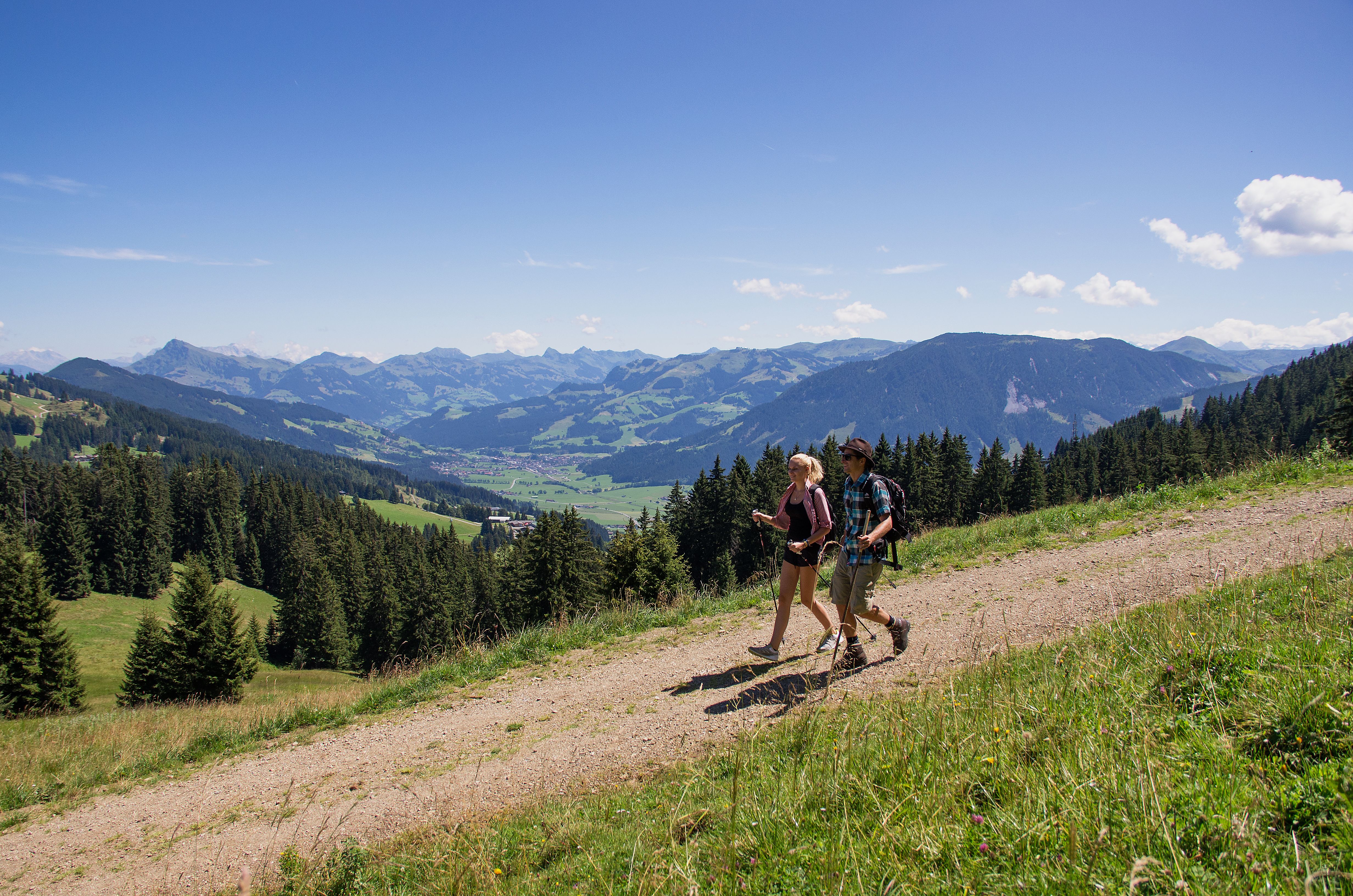
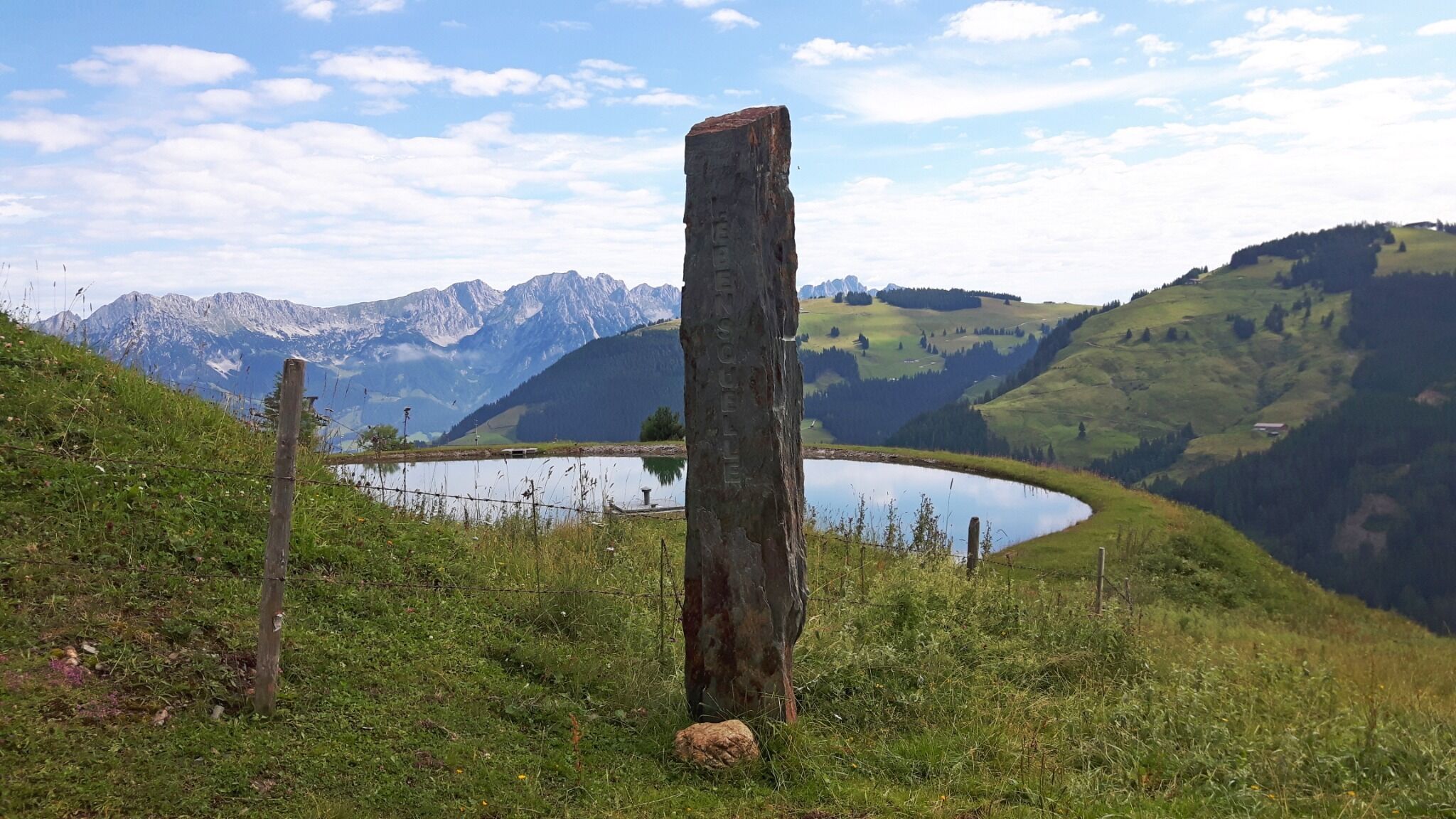
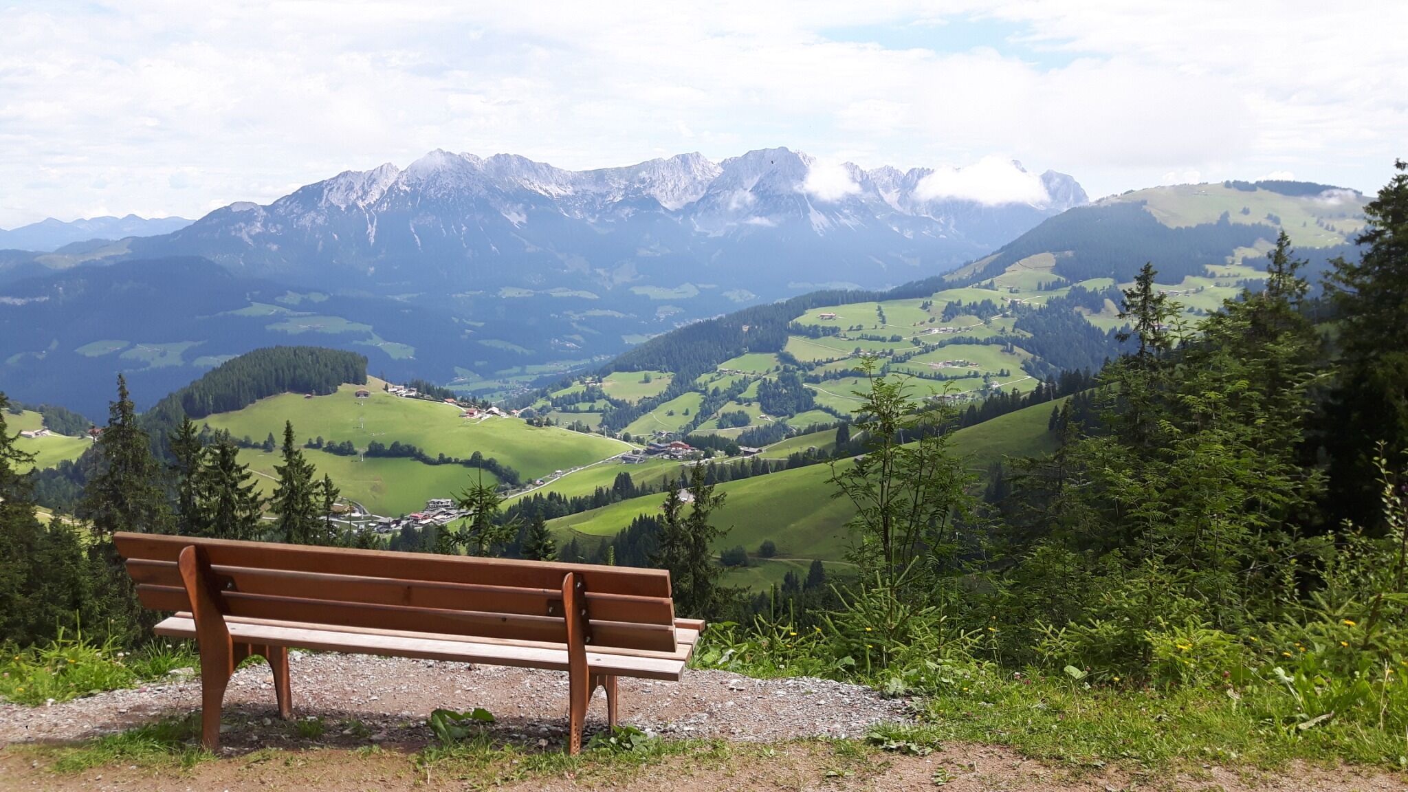

The idyll of the source area of the Hohe Salve opens up to you after taking the Hexenwasser gondola lift. From there, hiking trail no. 50 takes you past the Simonalm in the direction of Äussere & Innere Keatalmen. Here, follow the signs towards Gasthof Rigi past the Salvensee lake. Once you arrive at Gasthof Rigi, take the opportunity to stop for a bite to eat. Then hike past the Kälberalm to the KRAFTalm (Salvistabahn middle station). After a refreshment stop, trail no. 70 takes you via the Rinneralm in the direction of the Stöcklalm and back to Hochsöll to the Hexenwasser middle station. Hiking around the Hohe Salve at approx. 1,600 m above sea level, you can enjoy magnificent views of the mountains: from the Wilder Kaiser to the Kitzbühel Alps.
KaiserJet stop “Söll Gondelbahn Hochsöll – Hexenwasser”.
More information at: www.wilderkaiser.info/mobility
Cable car valley station, Söll (725 m) – free


