Mountain hikes Pölven circular route

Söll /
Difficulty ratings: medium
Route length: 18 km
Duration: 6:00 h

A circuit around the mountain that the locals love for its great view.

Tour information

  • Requirement: medium
  • Length: 18 km
  • Duration: 6:00 h
  • Elevation uphill:670 hm
  • Elevation downhill:670 hm
Highest point 933 m

Starting point

Hiking starting point Franzlhof, Söll (703 m)

Finishing point

Hiking starting point Franzlhof, Söll (703 m)
  • Fitness level 4 / 6
  • Technique 3 / 6

Features

  • Circular route

Best time of year

  • January
  • February
  • March
  • April
  • May
  • June
  • July
  • August
  • September
  • October
  • November
  • December

Wegbeschaffenheit

The composition of the trail varies between forest and hiking trail, with sections of asphalt (road used by motor vehicles).

Ausrüstung

Rucksack, sturdy hiking/mountaineering boots with anti-slip treaded soles, weather-appropriate hiking gear (breathable), a change of clothes, sun protection (sunglasses, sun cream, lip protection, headgear), waterproofs (rain jacket/poncho, pocket umbrella, rucksack protector), cold protection (hat, gloves), sufficient food and drink, hiking poles (height adjustable) if required, first aid kit incl. rescue blanket and bivouac sack, mobile phone with fully charged battery, headlamp, plastic bag for waste, hiking map, route description and information materials (GPX track), ID, insurance card, cash. Pack enough to eat and drink, as there is a long section without any inns!

Description

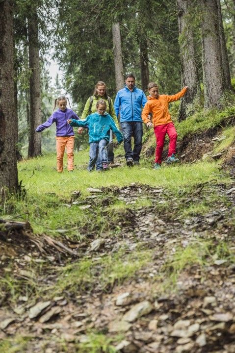
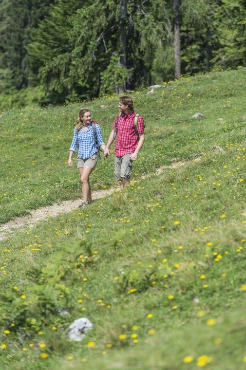
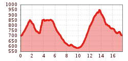
The starting point is the Franzlhof leisure centre. Head up via the street, which is used by very few vehicles, until you reach the Mühl turnoff. Continue along a series of gentle ascents and descents on the way to the Pölvenau farmhouse. After the first bend, turn left and follow the signs. After heading through a mystical section of forest, you need to make the first real ascent via the Franzlalm. The trail leads gently up and down through the area of Schwoich before bringing you to Bad Häring. On a steep section of asphalt featuring a number of bends, you will need to head up to Hinterlengau. Returning to the village via the Sunnseitweg trail.

Getting here

  • Arrival by public transport

    KaiserJet/Postbus stop “Söll Dorf” – followed by approx. 10-minute hike to the hiking starting point (Franzlhof leisure centre). More information at: www.wilderkaiser.info

  • Parking

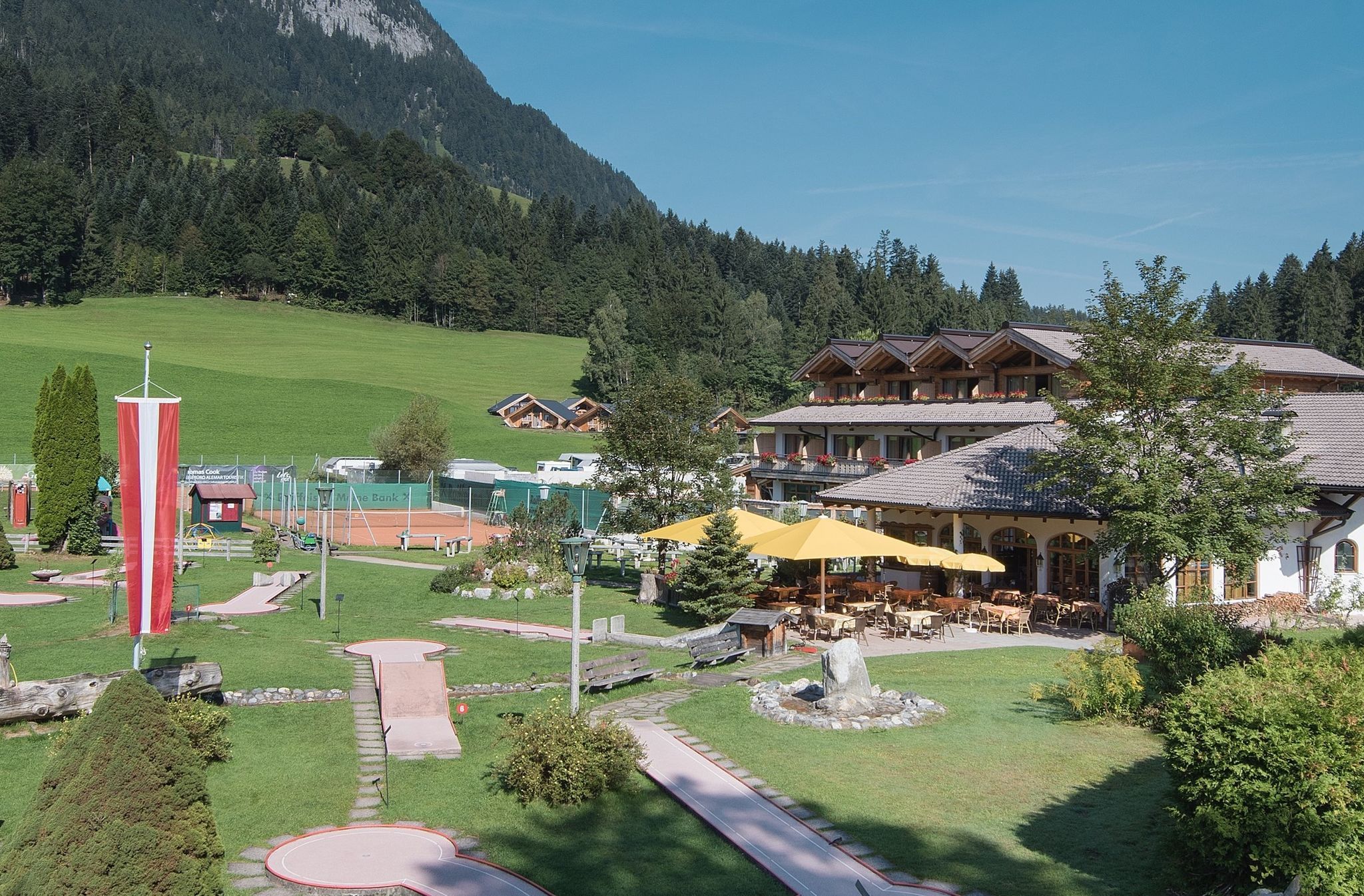
    Franzlhof leisure centre car park, Söll (703 m) – free

  • Contact

    Pölvenrunde
    ****

More tours in the surrounding area

Newsletter

The mountain is calling? So does our newsletter!

In our weekly newsletter we reveal the best holiday tips for Tyrol.