
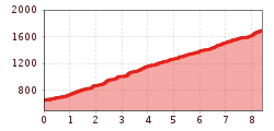
Difficulty:
difficult
Length:
6.9 km
Duration:
5:00 h
Elevation uphill:
770 m
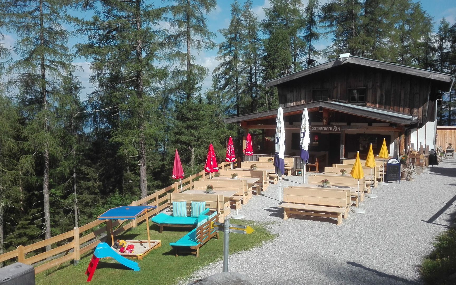
Pfaffenhofer Alm mountain hut
Start your hike at the village centre car park in Pfaffenhofen. The route leads uphill through the charming upper village and heads south on a tarmac path towards the hamlet of Höll. After around 1.7 kilometres, the trail branches off to the left and takes you along a mountain and alpine path to the Pfaffenhofer Alm farm.
There is plenty to discover along the way: after a short time, you can see the Hörtenberg castle ruins on the right-hand side of a hill - a great photo opportunity!
The Pfaffenhofer Alm invites you to stop for a break, where you can fortify yourself with a traditional alpine snack and enjoy the marvellous view of the surrounding countryside.
Return along the same route back to the village centre of Pfaffenhofen. This hike is a perfect mix of nature enjoyment, historical sights and culinary refreshments - an absolute highlight for hiking enthusiasts!


.jpg")


