.jpg")
Difficulty:
easy
Length:
16.6 km
Duration:
5:00 h
Elevation uphill:
400 m
Peter-Anich-Weg trail
Start at the tourist information office in Oberperfuss and take the Peter-Anich-Weg trail towards Ranggen. When you get to the edge of the village of Ranggen, turn left and follow the path via the Ried district to Inzingberg. From there continue via the districts of Eben, Hof, Hattingberg, Pollingberg and Flaurlingberg and then past the hamlets of Bärfall, Mooslehen to Rahm. From there, follow the route down to Flaurling. Finally, walk along the edge of the forest to Oberhofen and on to the Höll district in Pfaffenhofen. Difficulty: easy
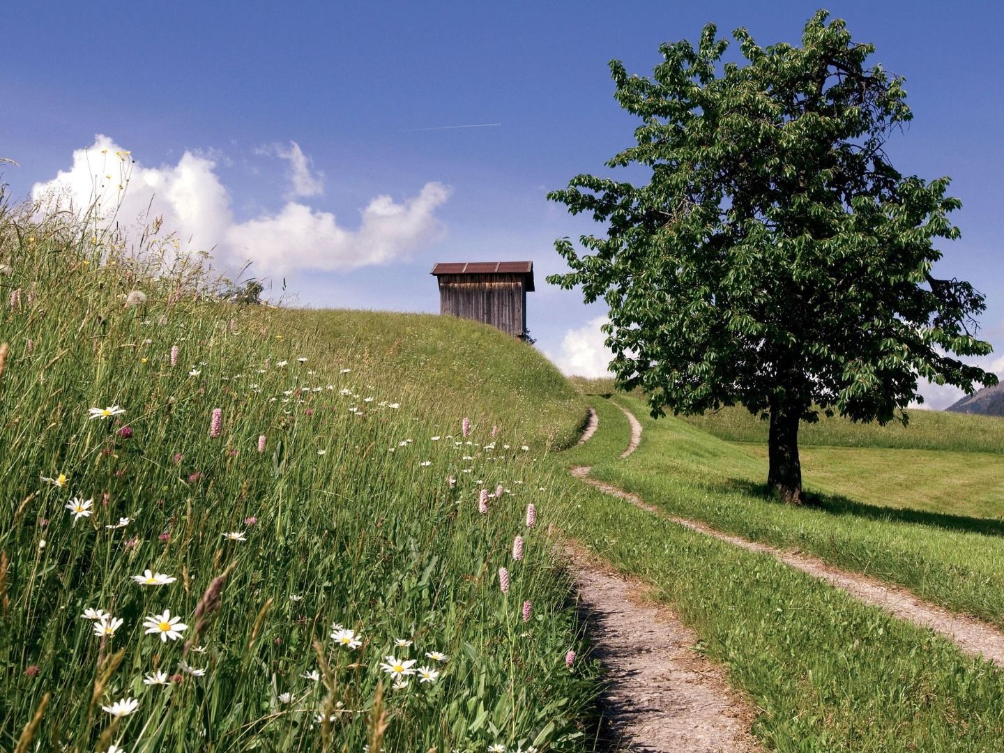
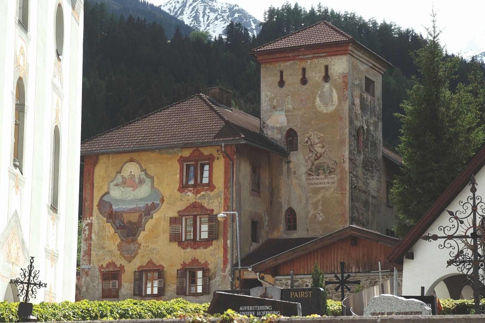
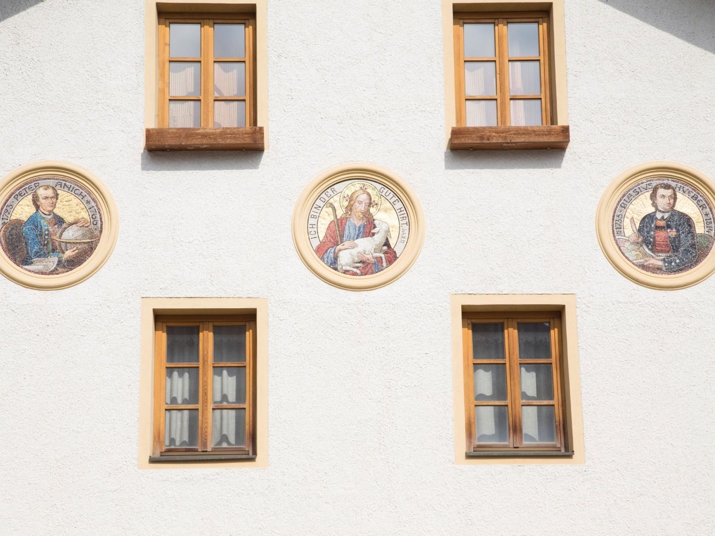
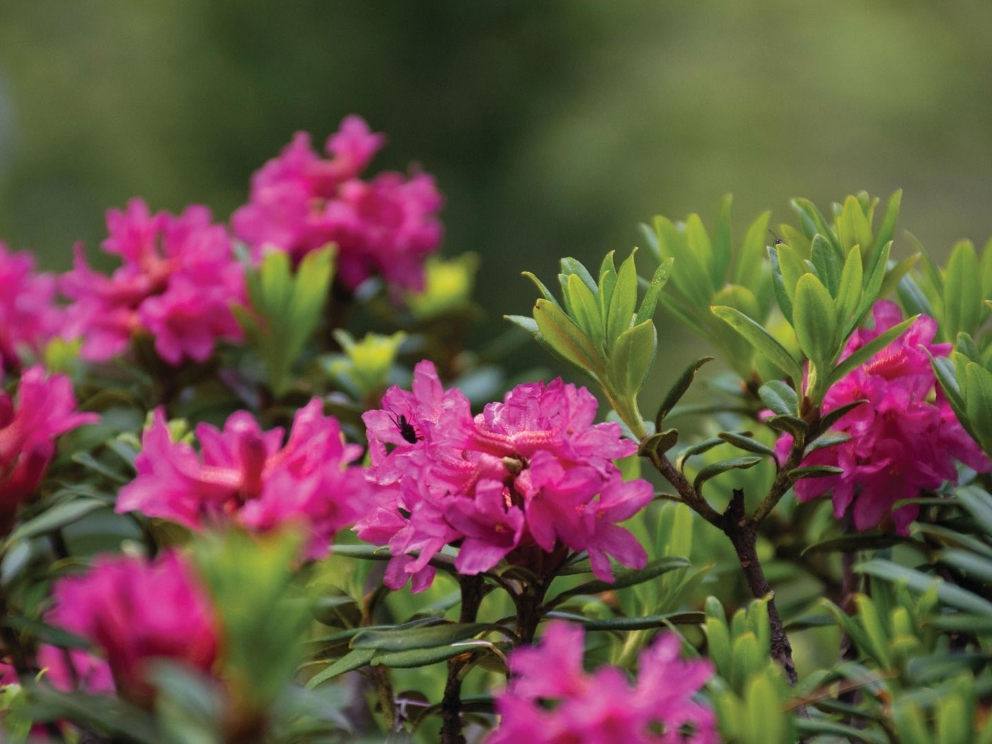
This hike leads along a mountain plateau, past old farmhouses and beautiful scenery. The route can be cut short at any point by heading back down to the Inn Valley and taking public transport back to the starting point. A very rewarding family hike! Tips and things to see along the way: the Oberperfuss Parish Church with its sundial by Peter Anich, the Peter Anich Museum, Ranggen Parish Church and the most beautiful sacristy in Tyrol, the Ris Castle estate in Flaurling and much more.


")


