
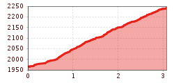
Difficulty:
medium
Length:
14.8 km
Duration:
7:00 h
Elevation uphill:
1,029 m
Patscherkofel – summit
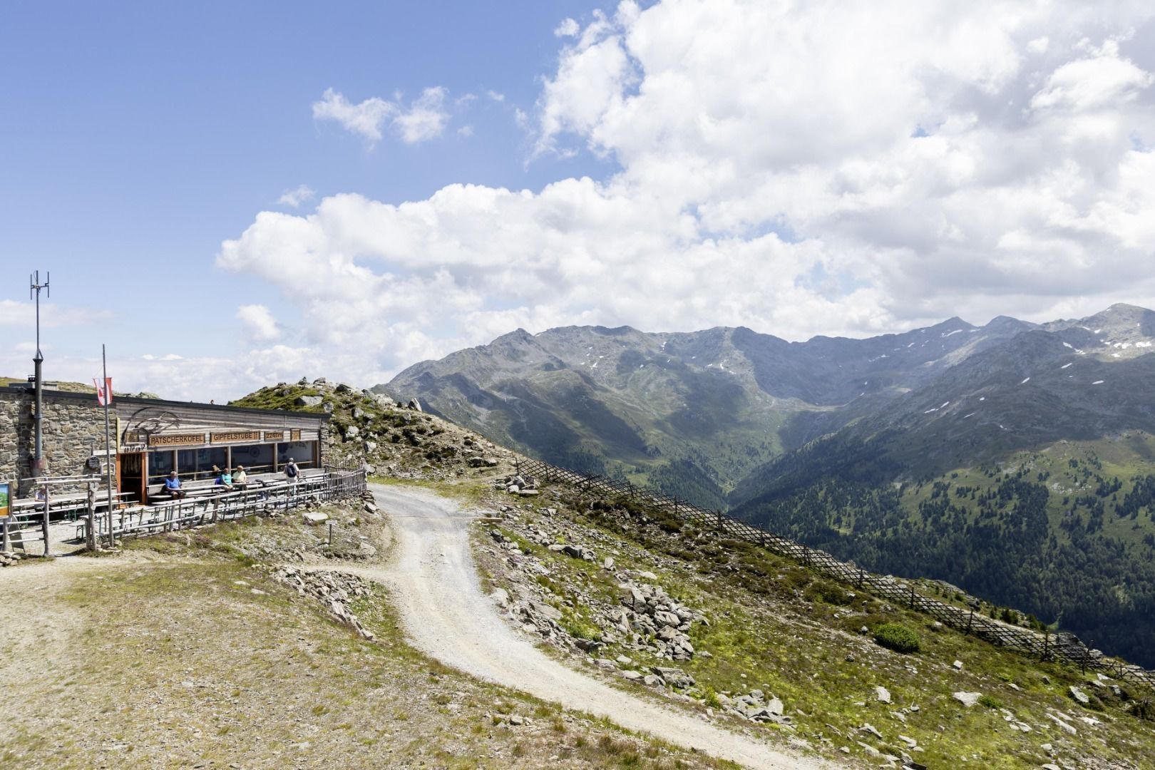
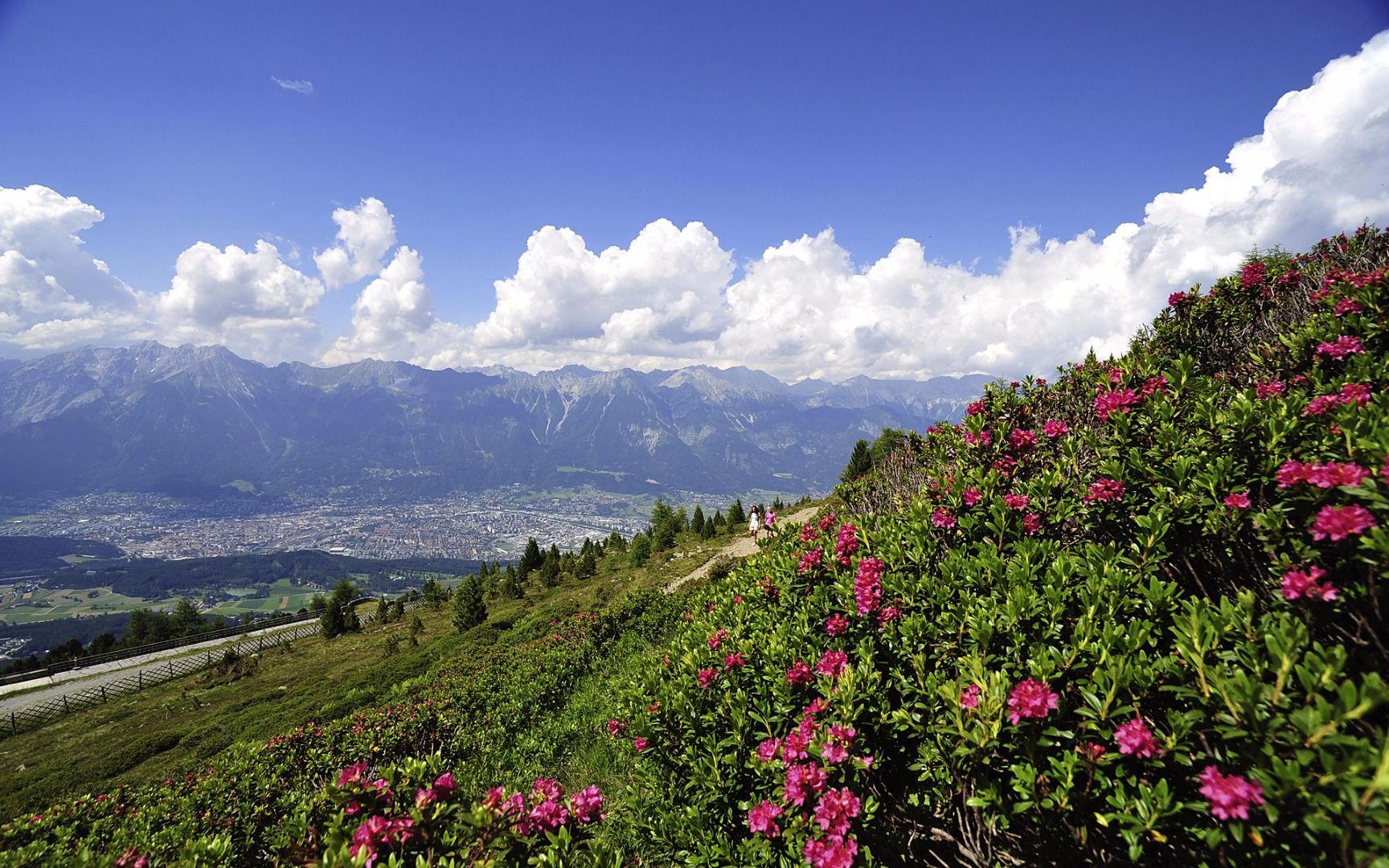
The hike starts behind the mountain station of the Patscherkofel cable car, where the well-developed panoramic trail begins. The path is easy to walk on, but can be classed as moderately difficult due to the constant incline.
During the ascent, there are magnificent views over the Inn Valley, and the higher you get, the wider the panorama opens up in all directions. After a continuous ascent, you reach the Patscherkofel Gipfelstube (2248 m), which has a cosy sun terrace and invites you to take a break.
Not far from the summit parlour is the summit cross, which is not only a beautiful destination, but also a great photo motif with spectacular views of the Inntal valley and the Stubai valley.
The return route follows the same panoramic path back to the Patscherkofelbahn mountain station. This tour is ideal for hikers looking for a route with great views and a moderate challenge.


.jpg")


