
Opening hours:
closed
Difficulty:
easy
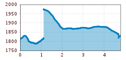
Length:
3.4 km
Duration:
1:30 h
Elevation uphill:
242 m
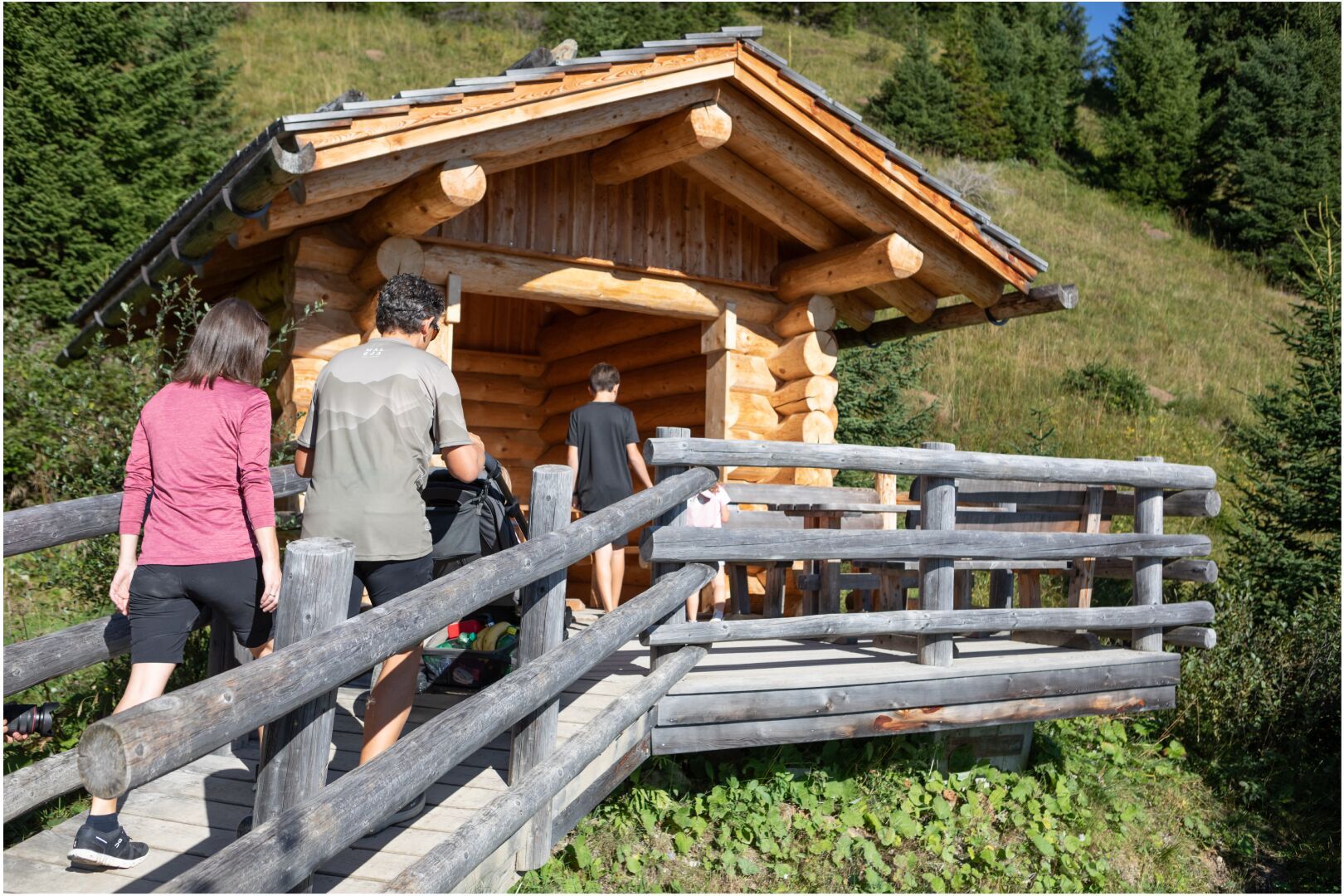
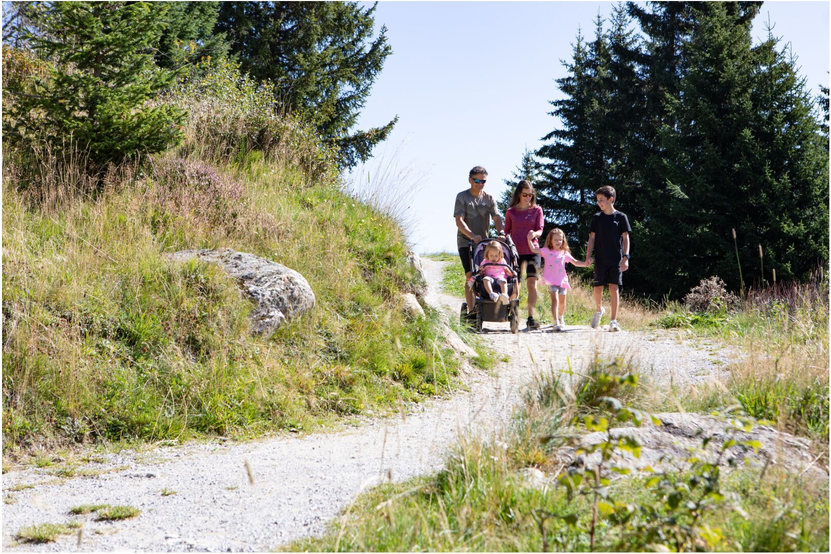
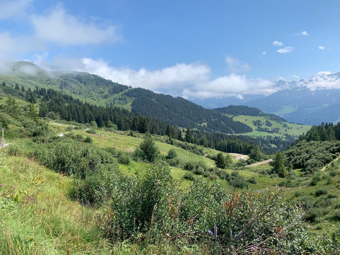
This wide, well-developed hiking trail runs with little change in elevation from Komperdell via the Sunliner mountain station to Möseralm. The magnificent panoramic route passes through blooming alpine meadows and a romantic mountain forest and is easy to walk.
The trail can be started from either Möseralm or the Komperdell mountain station:


