Ötztaler Urweg detour E5 Sölden - Hochgurgl Crosspoint (continue by bus to Obergurgl)

Sölden /
Difficulty ratings: medium
Route length: 14 km
Duration: 5:30 h

STAGE 5: SÖLDEN –> Mooserstegle –> Kühtrainschlucht –> Zwieselstein –> Sahnestüberl -> HOCHGURGL CROSSPOINT

Tour information

  • Requirement: medium
  • Length: 14 km
  • Duration: 5:30 h
  • Elevation uphill:1088 hm
  • Elevation downhill:262 hm
Highest point 2,193 m

Starting point

Sölden

Finishing point

Hochgurgl
  • Fitness level 3 / 6

Best time of year

  • January
  • February
  • March
  • April
  • May
  • June
  • July
  • August
  • September
  • October
  • November
  • December

Equipment

Moderate mountain trail; for sure-footed and experienced hikers. Good physical condition, mountain experience & mountain equipment (see notice equipment) necessary. Please pay attention to the current weather report Appropriate equipment such as breathable suitable outdoor clothes for the weather, is for all hikes and tours necessary. Please bring a first-aid box, a mobile phone, a walking map and if there is no hut on the way a snack and enough to drink.

Description

TWO THRIVING SKI RESORTS IN SUMMER

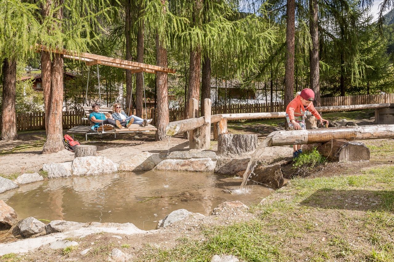
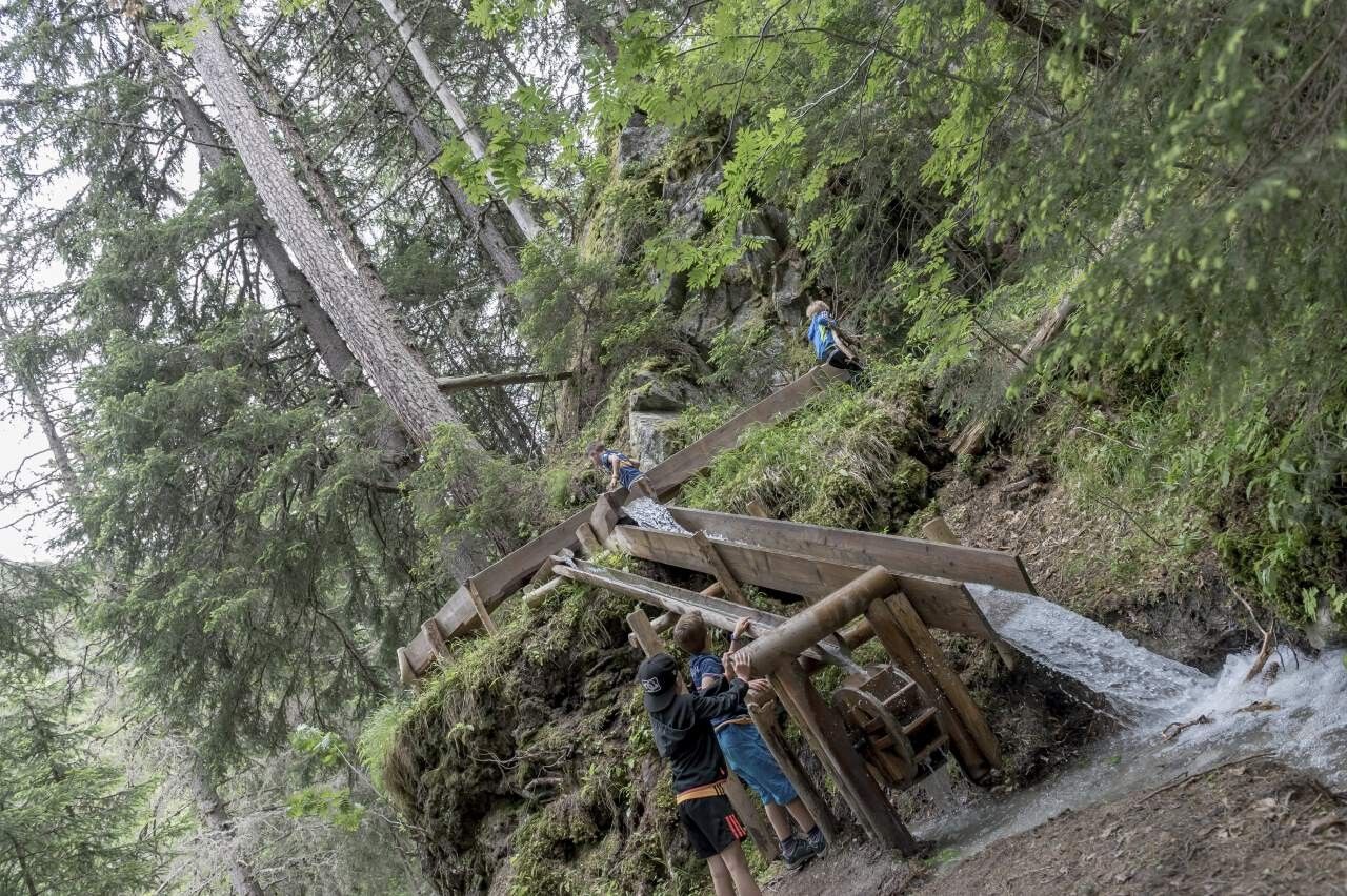
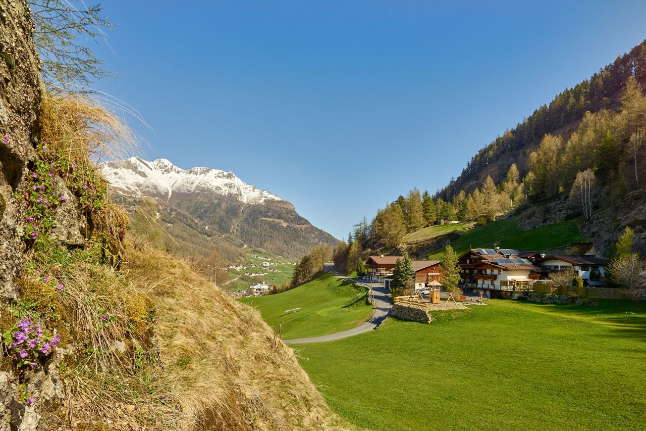
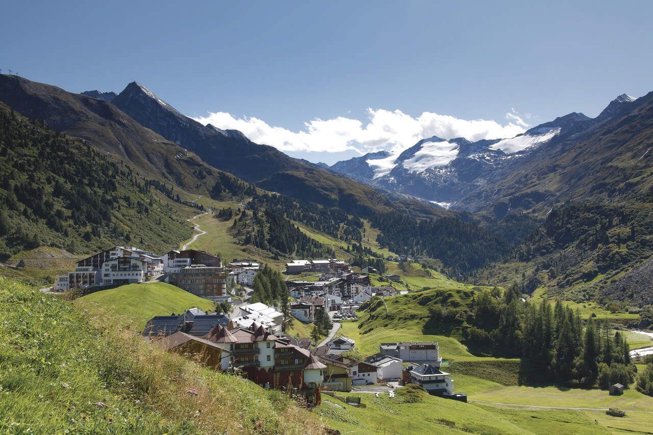
The vibrant and quiet sides of Sölden—both impossible to overlook. The town’s pioneering achievements in skiing have left an undeniable mark. A high-energy James Bond filming location, a gathering place for top athletes, or the open-air spectacle Hannibal—these highlights and many more captivate visitors of all ages every year. Then there’s Sölden’s quieter side: pure nature in the Windachtal valley, a sanctuary for those seeking energy and renewal all year round. Alongside its breathtaking mountain scenery, the Ötztal’s most dynamic and ever-present element can be found: water. A visit to the Waalweg Mooserstegle offers a glimpse into the past, when these historic irrigation channels transported precious water to the valley’s drier regions to support agriculture.

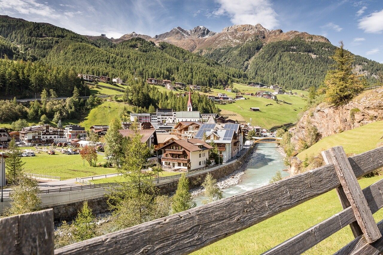
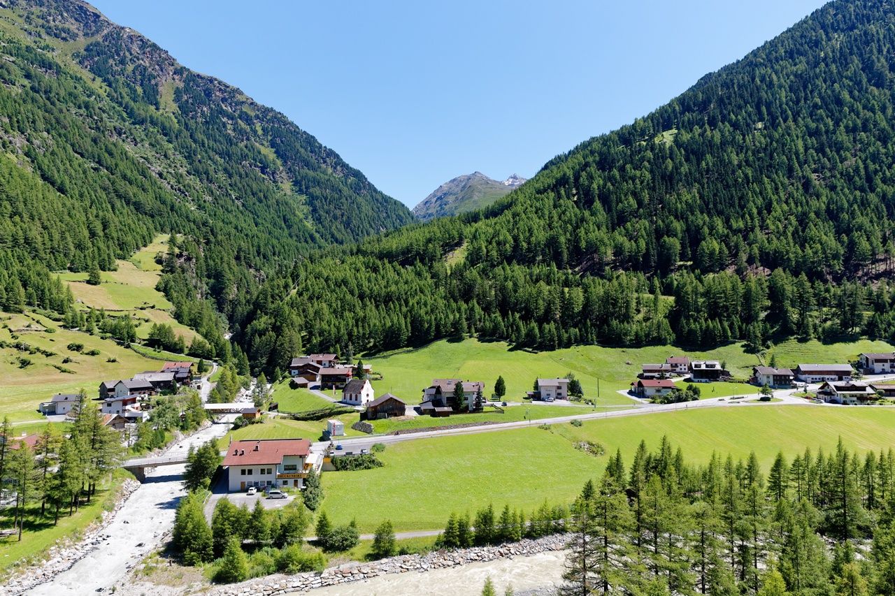
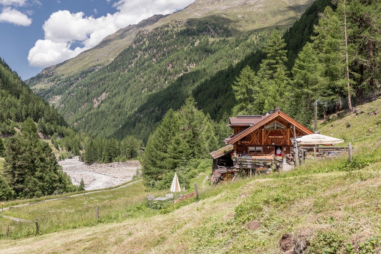
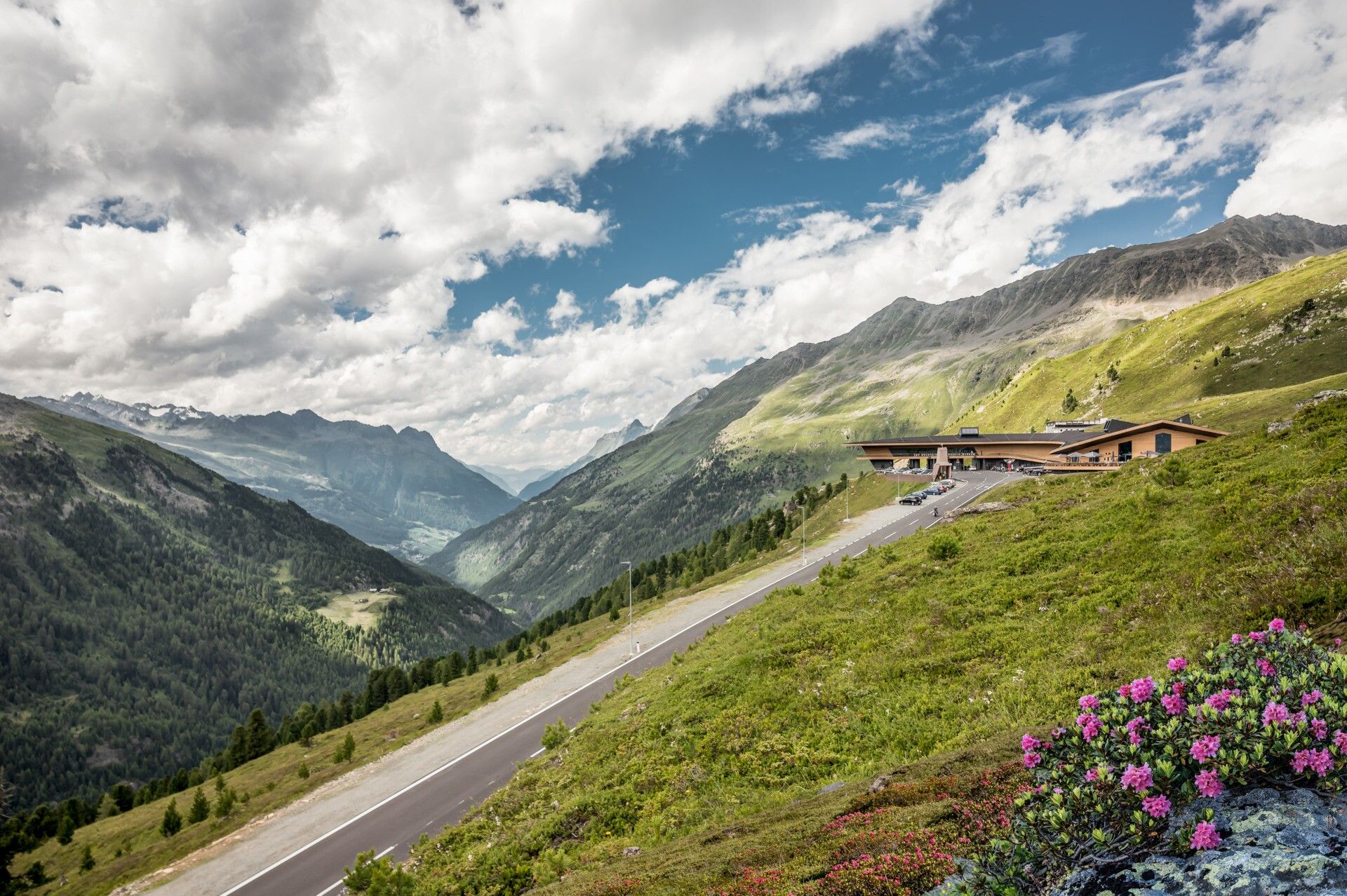
Deeper into the valley, where the Ötztal divides, you pass through a small village whose name reflects its unique geological location. In Zwieselstein, two powerful mountain rivers—the Venter Ache and the Gurgler Ache—merge to form the Ötztaler Ache. From here, the path leads us into the Gurgler Valley, all the way up to 1,930 meters, to the glacier and ski resort of Obergurgl.


Getting here

  • Arrival by public transport

    Travel safe and comfortable with the train to the Ötztal Bahnhof train station. Last stop and exit point is the train station Ötztal Bahnhof. Afterwards you can travel smoothly and quick with the public transport or our local taxi companies through the valley to your desired destination. Please find the current bus timetable here: http://fahrplan.vvt.at

  • Parking

    Parking options in Sölden:

    • Postplatz parking lot
    • Stiegele parking lot
    • Stufen parking lot
    • Giggijochbahn + underground garage
    • Gaislachkoglbahn + underground garage
    • Hochsölden parking lot
    • Hochsölden parking garage (1st level)
    • Zwieselstein parking lot
    • Zwieselstein/Sports field parking lot


    All parking areas are subject to charges.

    For multi-day parking (e.g., hut tours):

    • Postplatz: Parking ticket available at the Sölden information center.
    • Gaislachkoglbahn parking garage: Parking ticket available online or directly at the Gaislachkoglbahn ticket counter.

  • Contact

    Ötztaler Urweg Umleitung E5 Sölden - Hochgurgl Crosspoint (Weiterfahrt Bus nach Obergurgl)
    ****

More tours in the surrounding area

Newsletter

The mountain is calling? So does our newsletter!

In our weekly newsletter we reveal the best holiday tips for Tyrol.