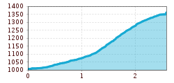
Mountain hikes Oberperfussberg - Stiglreith

Obernussdorf / Stubaier Alpen
Difficulty ratings: easy
Route length: 2.6 km
Duration: 2:30 h

Oberperfussberg - Stiglreith

Tour information

  • Requirement: easy
  • Length: 2.6 km
  • Duration: 2:30 h
  • Elevation uphill:360 hm
Highest point1,363 m

Starting point

Aigling Oberperfuss

Finishing point

Panoramarestaurant Stiglreith

Features

  • Suitable for families

Best time of year

  • January
  • February
  • March
  • April
  • May
  • June
  • July
  • August
  • September
  • October
  • November
  • December

Trail condition

meadow trail

Equipment

Wanderschuhe

Description

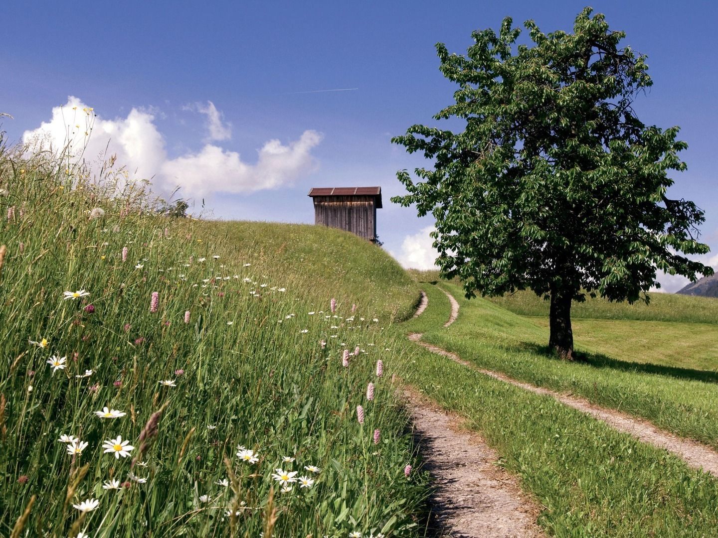
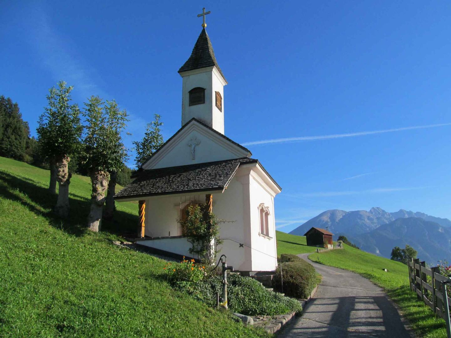
Route no. 9a. From the free car park by the church in Oberperfuss-Berg, cross the road and head south, walking uphill to the edge of the forest on hiking trail no. 9. This trail meets route no. 9b, which continues towards Stiglreith to the Egghöfe settlement. The hike is very scenic and leads through woods and meadows with stunning views.

More tours in the surrounding area

Newsletter

The mountain is calling? So does our newsletter!

In our monthly newsletter we reveal the best holiday tips for Tyrol.