
Difficulty:
medium
Length:
14.8 km
Duration:
7:00 h
Elevation uphill:
1,029 m
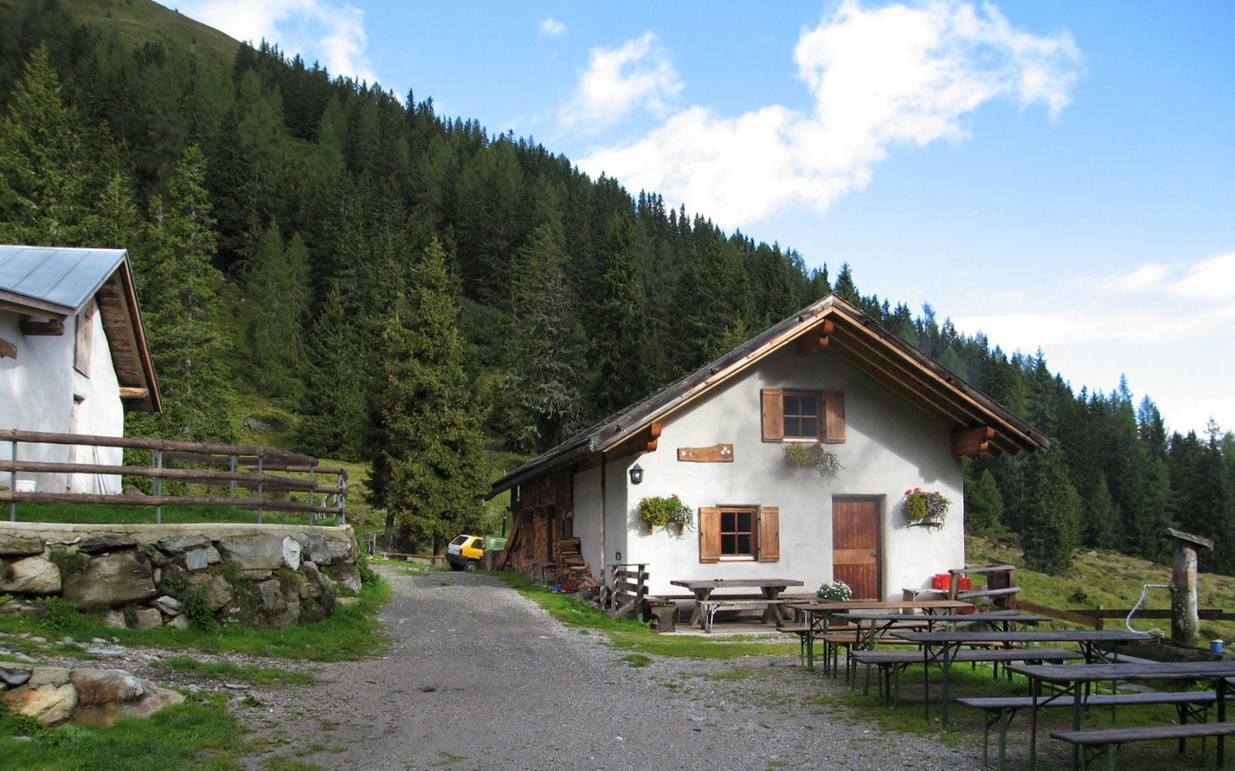
Oberhofer Galtalm mountain hut

From the Flarling municipal office, the trail first heads towards the hamlet of Schwaighof. The trail continues through the picturesque Flaurlinger Tal valley, past the Kanzingbrücke bridge and the Kohlerkapelle chapel. After a pleasant hike on the Alpine Club trail number 154, you will reach the Flaurlinger Alm mountain hut at 1,614 metres.
If you want to hike even further, follow the path from the Flaurlinger Alm and after about five minutes' walk you will reach the Oberhofer Galtalm at 1,652 metres - the actual destination of the hike. Here you can fortify yourself with a traditional Alpine snack and enjoy the marvellous view.
Two more sights await you on the way. The Rissschloss castle, which you can only visit from the outside, and the wonderful view of the Kalvarienberg with the mountain chapel - a perfect photo opportunity.
On the way back, you take the same route so that you can enjoy the beauty of the Flaurling Valley and the marvellous nature once again to the full. This hike combines enjoyment of nature, historical highlights and a stop at the Oberhofer Galtalm - an ideal destination for all hiking enthusiasts!


.jpg")


