
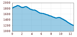
Difficulty:
easy
Length:
573 m
Duration:
0:20 h
Elevation uphill:
12 m
Möseralm to Ladis
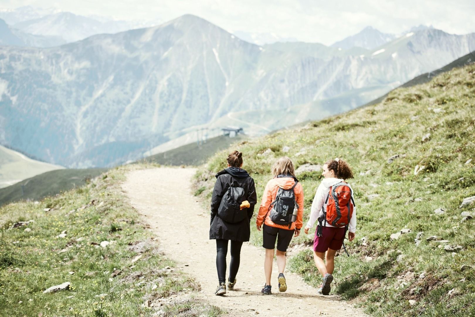
After Ladis, the path mainly follows agricultural, forestry, and service roads. First, you walk gently uphill to Steinegg (F061), then the carriageway No. 9 continues downhill towards Kuh Alm Fiss, until you reach path No. 10 (F059). Along this path, you proceed via Gample to the Animal Learning Trail (F056) and the Frommes Alp (F055, 1 hour). Then, continue on path 6 to Rabuschl (F025), and shortly after, turn right downhill (F027) to the viewpoint at Schönegg (L020). From there, the path continues on No. 33 to Langenweg (F005) and finally to Ladis (L006).


