
Opening hours:closed
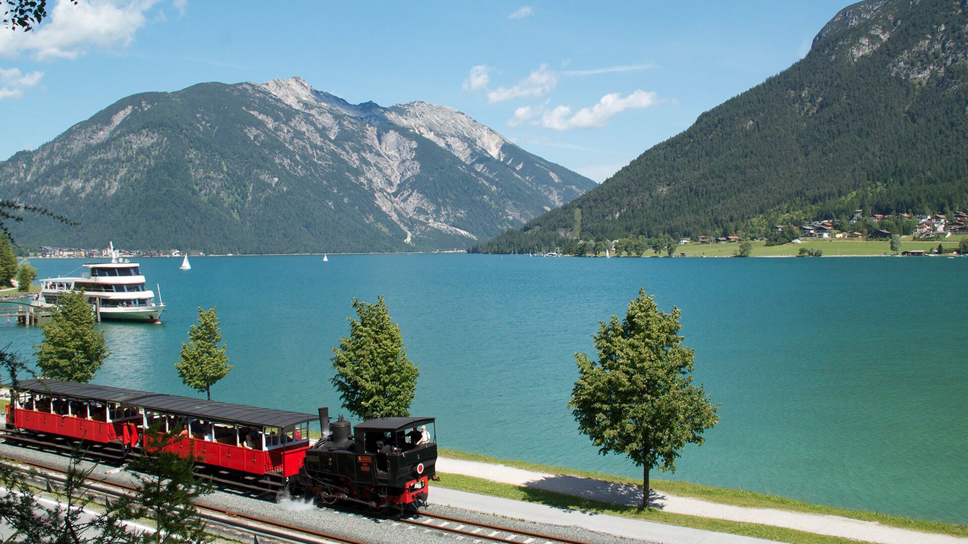
Place:Pertisau
:Alpine pasture / hut / mountain restaurant
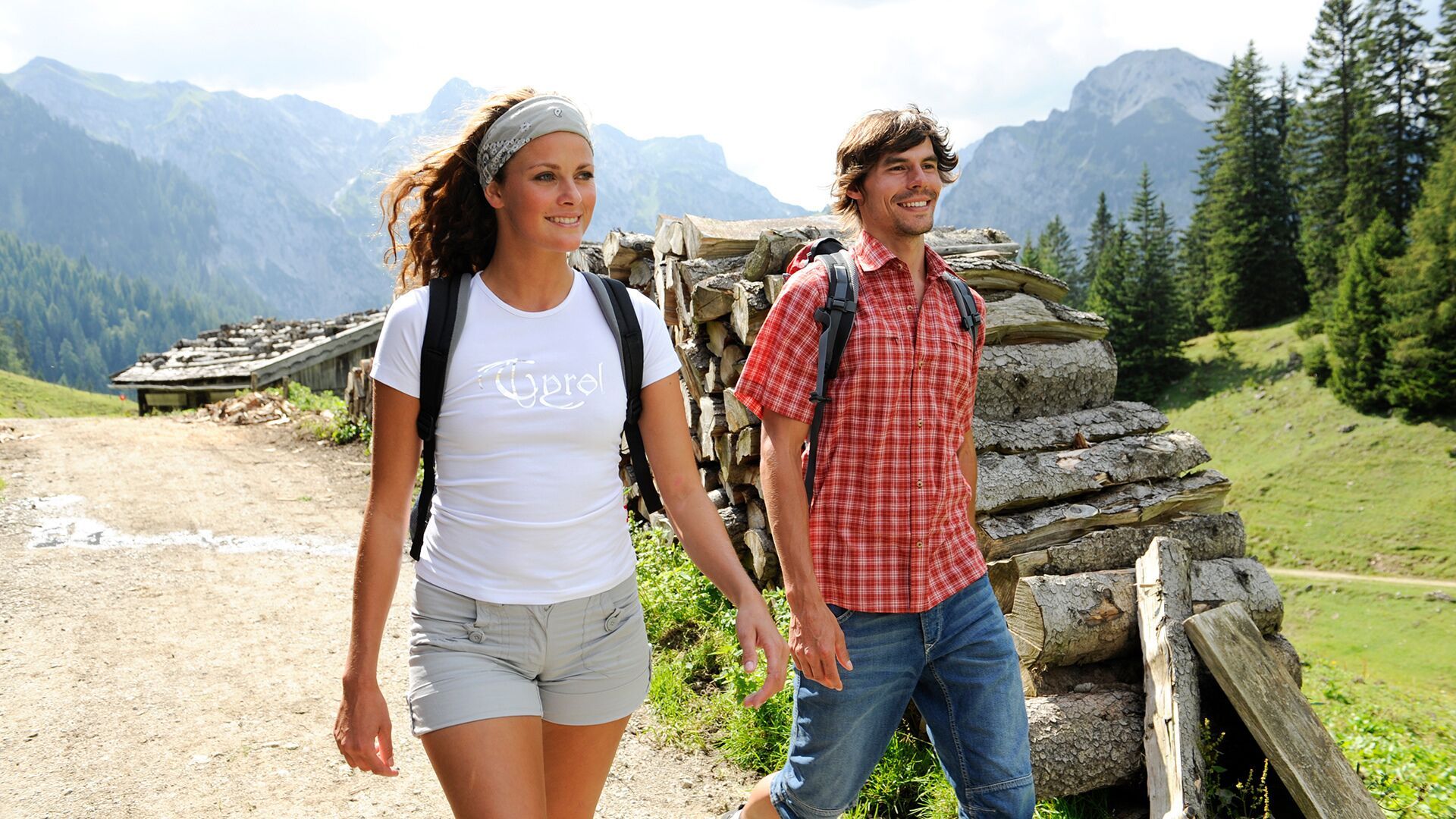
Circular hike with an ascent through the Weißenbachtal via the Weißenbachalm to the Bärenbadalm. Two refreshment stops along the way. Total walking time: 5 hours 30 minutes.
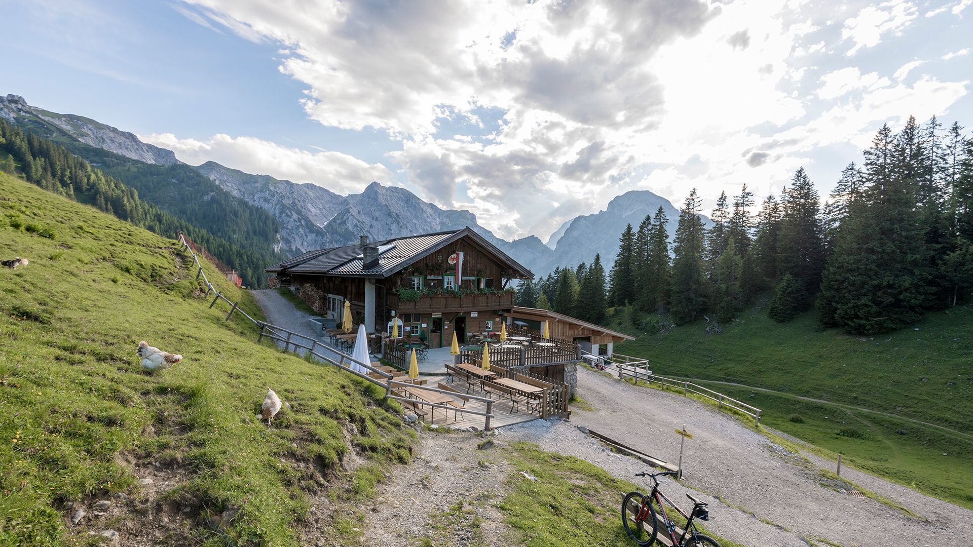
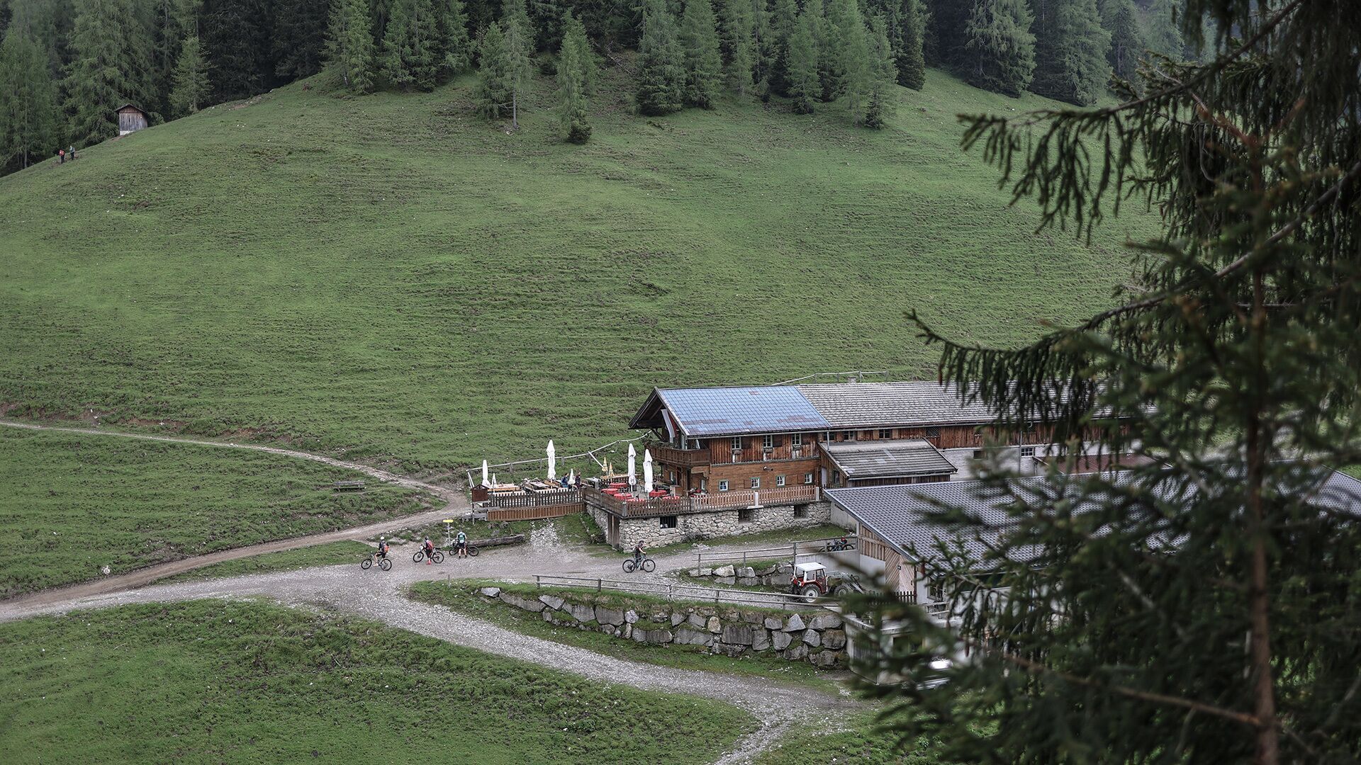
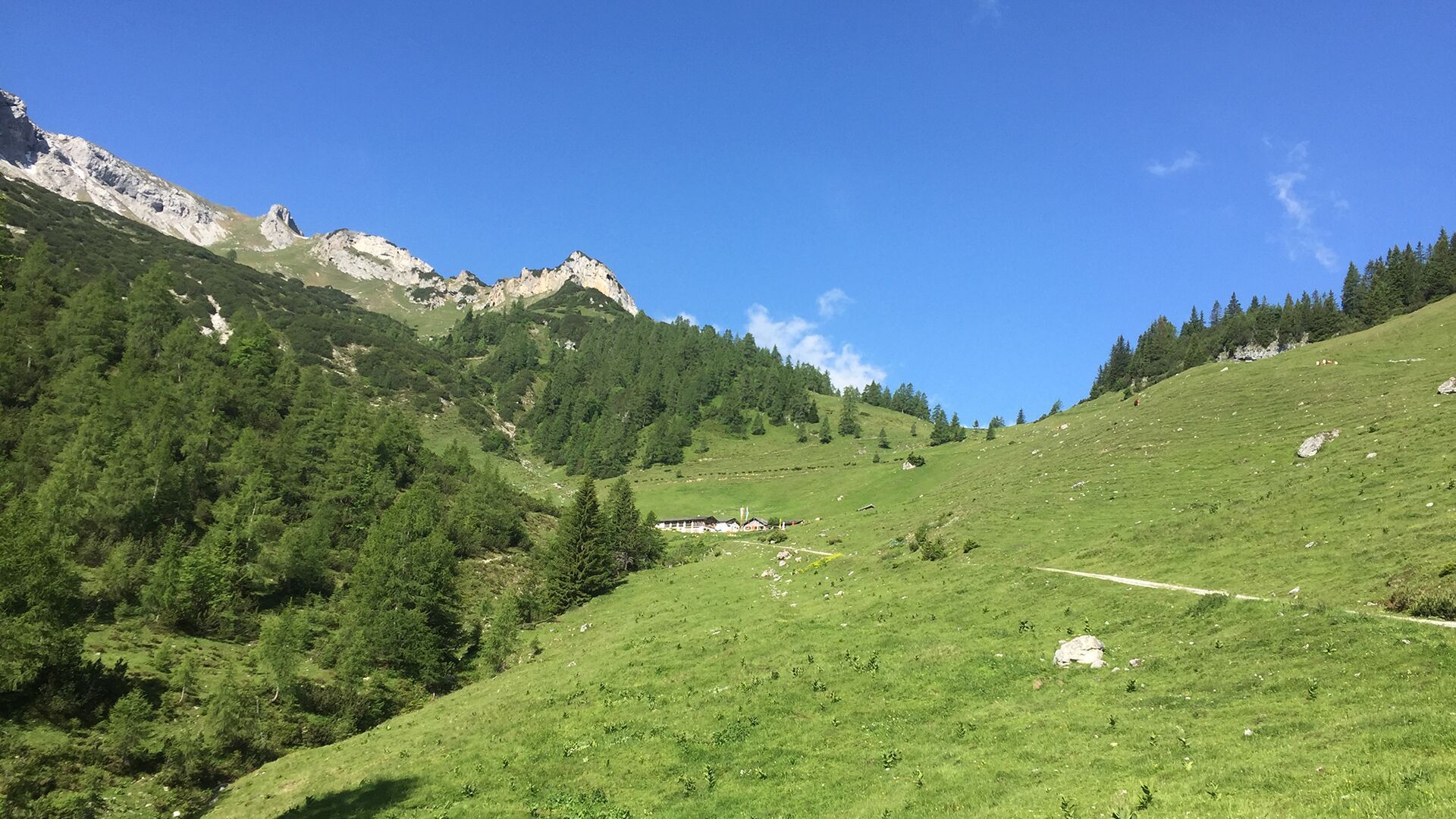
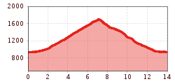
The tour begins to the left of the "Seespitz 1" car park. Follow the road for a few metres, at the restaurant Peter’s Grill walk across the road and from the car park, climb the narrow trail to the panorama trail. Turn left, follow the trail straight on, then turn right at the next junction and follow the asphalt road to the last houses of the Lärchenwiese. A forest road branches off from the road and leads to the Weißenbachtal. After a short hike, walk across the stream bed of the Weißenbach which is generally dry. Continue along the forest road which climbs gradually to the mountain huts Weißenbachhütte (not serviced) and Weißenbachalm (1,607 metres). From here, walk to the Weißenbachsattel and through the forest to the Bärenbadalm (1,457 metres, time 3 hours 30 minutes). The route leads back to Lake Achensee in an easterly direction. Continue along the forest road below the steep slope and walk back to the valley. Walk to the next signpost and take the panorama trail back to Maurach.
Take the regional bus (lines 8332 or 390) to the car park Seespitz in Maurach and get off at the "Maurach Achensee Seespitz" stop.
"Seespitz 1" car park in Maurach (paid parking)
.jpg")
.jpg")


.jpg")

.jpg")
.jpg")


.jpg")


.jpg")


