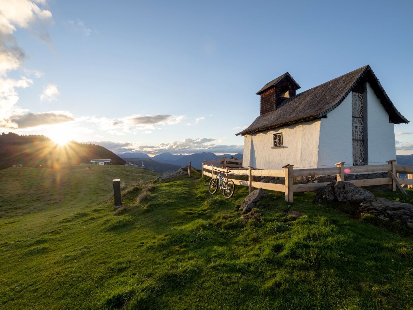
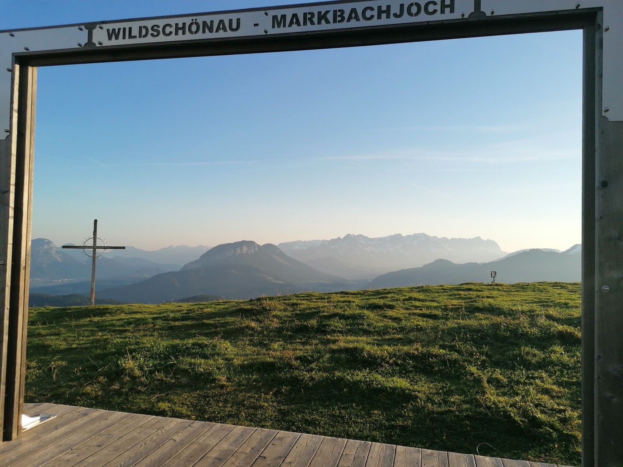
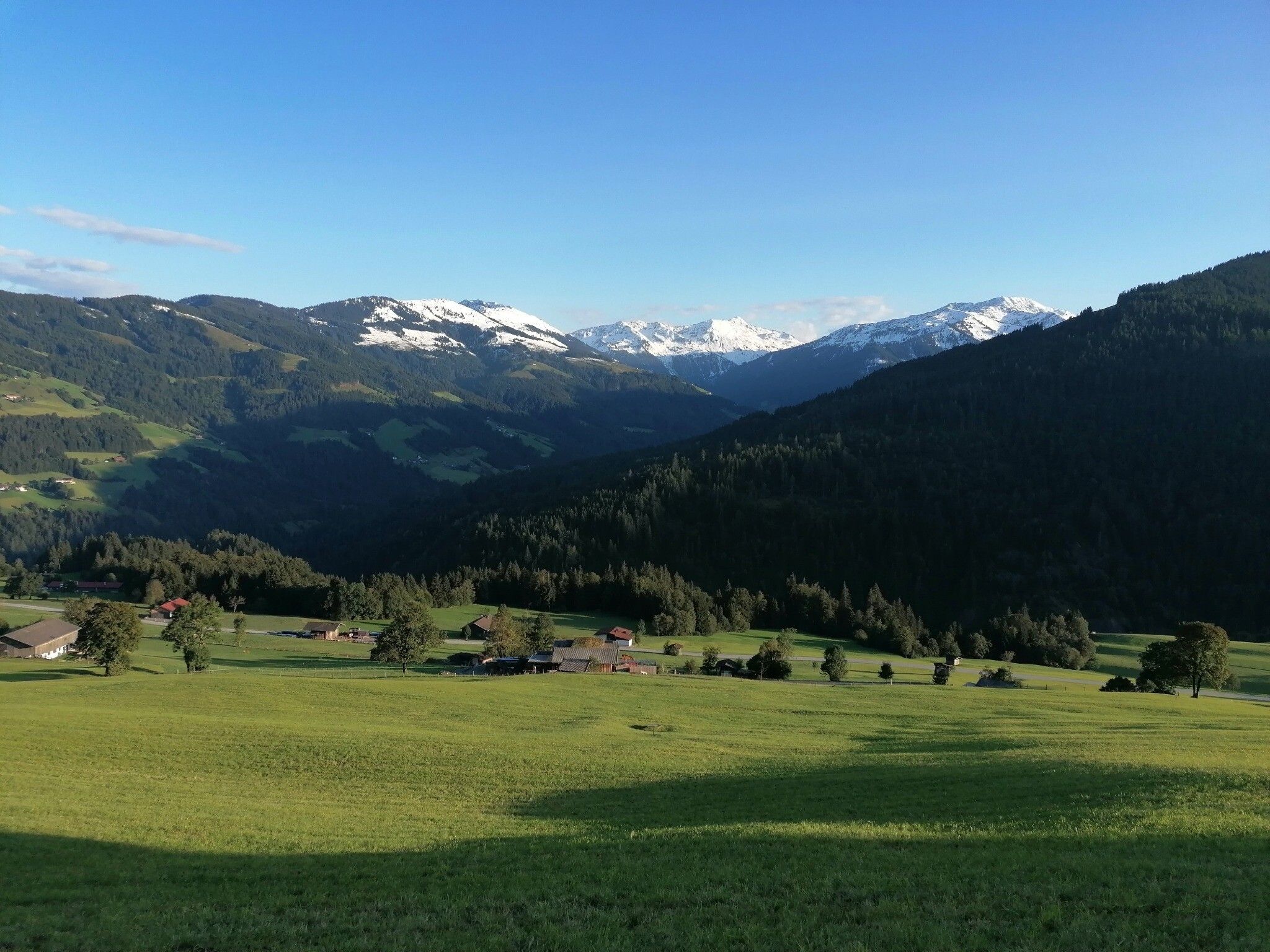
DescriptionTake the gondola to the Markbachjoch. Cross the piste and take the forest road down to the village of Penningdörfl. Follow signs back to Niederau.
Uo to the die Binsalm Alp in the KarwendelDifficulty: easy Length: 3.3 km Elevation uphill: 401 m See trailMore about Uo to the die Binsalm Alp in the Karwendel
Spitzstein CircuitDifficulty: difficult Length: 12.5 km Duration: 5:30 h Elevation uphill: 770 m See trailMore about Spitzstein Circuit
Kranzhorn ErlDifficulty: medium Length: 8.8 km Duration: 3:30 h Elevation uphill: 498 m See trailMore about Kranzhorn Erl
4 lakes hiking tourDifficulty: easy Length: 8.1 km Elevation uphill: 250 m See trailMore about 4 lakes hiking tour
Summit hike PendlingDifficulty: medium Length: 8.6 km Duration: 4:00 h Elevation uphill: 600 m See trailMore about Summit hike Pendling
Kundl GorgeOpening hours: open Difficulty: easy Length: 6.5 km Duration: 3:00 h Elevation uphill: 10 m Go to attractionMore about Kundl Gorge
Alpenblumengarten (Alpine flowers garden)Difficulty: easy Length: 2.0 km Duration: 1:00 h Elevation uphill: 28 m See trailMore about Alpenblumengarten (Alpine flowers garden)
Sunny side hikingtour Kaiser valleyDifficulty: medium Length: 15.0 km Duration: 7:00 h Elevation uphill: 1,120 m See trailMore about Sunny side hikingtour Kaiser valley
SchafsiedelDifficulty: medium Length: 15.6 km Duration: 6:45 h Elevation uphill: 1,280 m See trailMore about Schafsiedel
KitzTrail Streif-liveDifficulty: medium Length: 7.7 km Duration: 3:00 h Elevation uphill: 76 m See trailMore about KitzTrail Streif-live
Saalkogel-Rauber-Laubkogel Nr. 87Difficulty: medium Length: 11.1 km Duration: 6:00 h Elevation uphill: 947 m See trailMore about Saalkogel-Rauber-Laubkogel Nr. 87
Scenic River Trail GroßacheDifficulty: easy Length: 14.3 km Duration: 3:30 h Elevation uphill: 20 m See trailMore about Scenic River Trail Großache
Sintersbach WaterfalllOpening hours: open Difficulty: medium Length: 9.3 km Duration: 4:00 h Elevation uphill: 543 m Go to attractionMore about Sintersbach Waterfalll
Kelchalm - Bochumer HütteDifficulty: medium Length: 13.0 km Duration: 5:00 h Elevation uphill: 651 m See trailMore about Kelchalm - Bochumer Hütte
7-BrunnenwegDifficulty: easy Length: 10.3 km Duration: 2:30 h Elevation uphill: 200 m See trailMore about 7-Brunnenweg
Adlerweg Day TourDifficulty: medium Length: 16.0 km Duration: 8:30 h Elevation uphill: 1,200 m See trailMore about Adlerweg Day Tour
BichlachrundeDifficulty: easy Length: 10.5 km Duration: 3:30 h Elevation uphill: 295 m See trailMore about Bichlachrunde
Niederkaiser via Maiklsteig and Schleier WaterfallDifficulty: medium Length: 12.2 km Duration: 6:00 h Elevation uphill: 841 m See trailMore about Niederkaiser via Maiklsteig and Schleier Waterfall
Kaiserbachtal - Feldberg - StripsenjochDifficulty: medium Length: 21.0 km Duration: 9:00 h Elevation uphill: 1,170 m See trailMore about Kaiserbachtal - Feldberg - Stripsenjoch
Oberau - KragenjochkreuzDifficulty: medium Length: 7.9 km Duration: 3:00 h Elevation uphill: 513 m See trailMore about Oberau - Kragenjochkreuz
The Wildschönau High TrailDifficulty: medium Length: 14.8 km Duration: 6:30 h Elevation uphill: 760 m See trailMore about The Wildschönau High Trail
Hollenauer Kreuz circular hiking routeDifficulty: easy Length: 5.8 km Duration: 2:15 h Elevation uphill: 290 m See trailMore about Hollenauer Kreuz circular hiking route
Hintere Goinger Halt summit tourDifficulty: difficult Length: 8.9 km Duration: 6:30 h Elevation uphill: 1,090 m See trailMore about Hintere Goinger Halt summit tour
Panoramic circuit Brandstadl–HartkaiserDifficulty: easy Length: 6.0 km Duration: 1:50 h Elevation uphill: 170 m See trailMore about Panoramic circuit Brandstadl–Hartkaiser
BrixenbachalmDifficulty: medium Length: 4.4 km Duration: 3:30 h Elevation uphill: 290 m See trailMore about Brixenbachalm
Give feedback for a chance to win a special holiday experience!Click here for the surveyClick here for the survey


.jpg")


.jpg")
.jpg")


