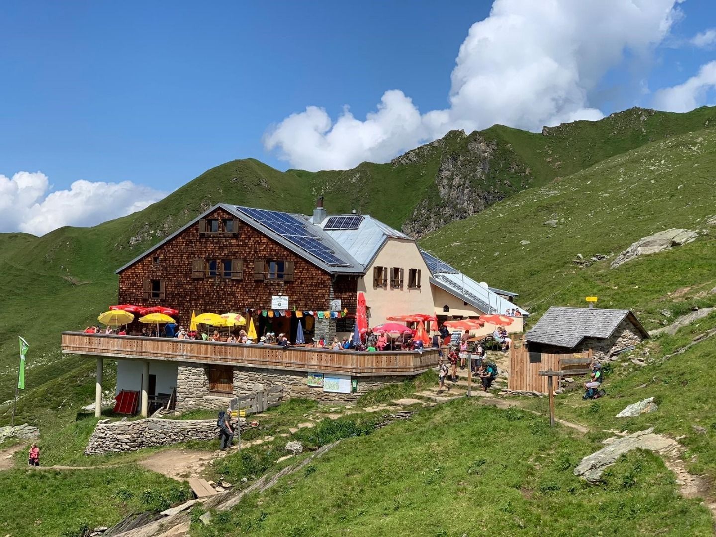
6,660 vertical meters, 85 kilometers, eight days - the Berlin High Trail is not stingy with numbers, and it is beautiful to boot. After all, "our" Zillertal Alps provide spectacular views of peaks and glaciers practically non-stop. The huts are also impressive: from rustic to magnificent to steeped in history. And: every hut has valley access, which makes it flexible.
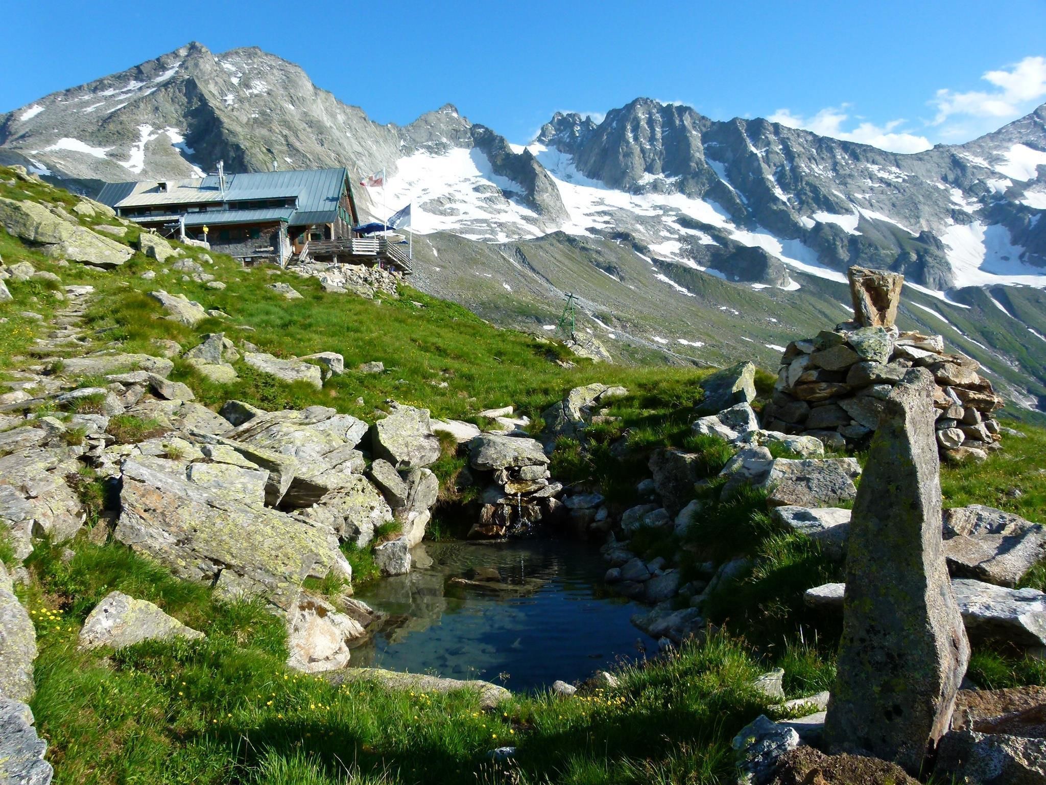
The long-distance hiking trail in the heart of the Zillertal Alps High Mountain Nature Park is high alpine, close to the glacier, steep and exposed. It leads through spectacular mountain terrain and has truly earned its place among the most beautiful long-distance high-altitude hiking trails. For experienced and skilled mountaineers, this high alpine tour is pure enjoyment. Less experienced mountaineers can hike the Berliner Höhenweg in several stages or approach the experience as a guided tour with a group.
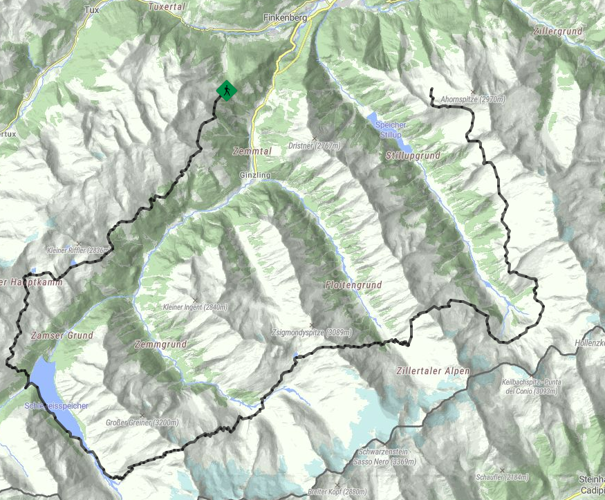
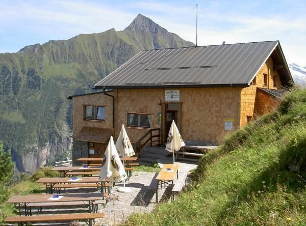
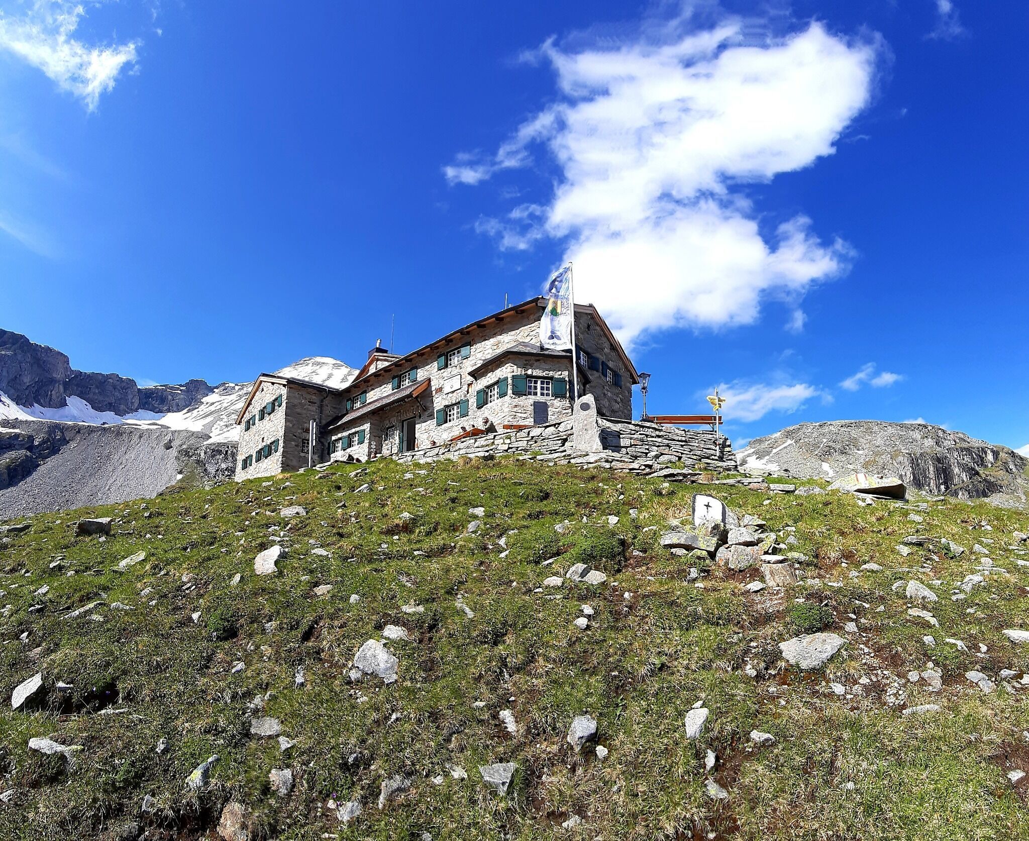
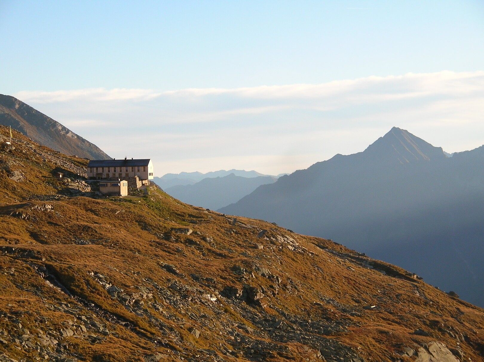
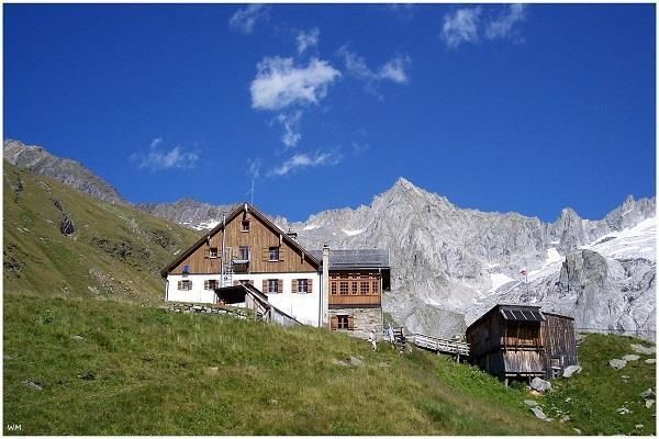


The Berliner Höhenweg leads through the heart of the Zillertal Alps High Mountain Nature Park – from the Gamshütte - Friesendberghaus - Olpererhütte - Furtschaglhaus - Berliner Hütte - Greizer Hütte to the Edelhütte. Magnificent views of the glaciated high mountain world await hikers, as well as wonderful insights into the natural beauty of this high alpine landscape.
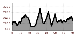
The trail is demanding and suitable for experienced mountain hikers. Those tackling the entire route cover over 70 kilometers and ascend 5.300 meters in approximately a week. However, the length of the tour can be adjusted by each individual; there are descents to the valley from all the huts. From there, hikers can return to the starting point via public transportation.
Linie: 4104, Haltestelle: Teufelsbrücke
Linie: 8327, Haltestelle: Ahornbahn
www.mayrhofen.at/fahrplaene


 Olpererhütte - Furtschaglhaus")
 Furtschaglhaus - Berliner Hütte")
 Friesenberghaus - Olpererhütte")

 Gamshütte - Friesenberghaus")


