Difficulty:
medium
Length:
12.3 km
Duration:
5:30 h
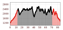
Elevation uphill:
1,140 m
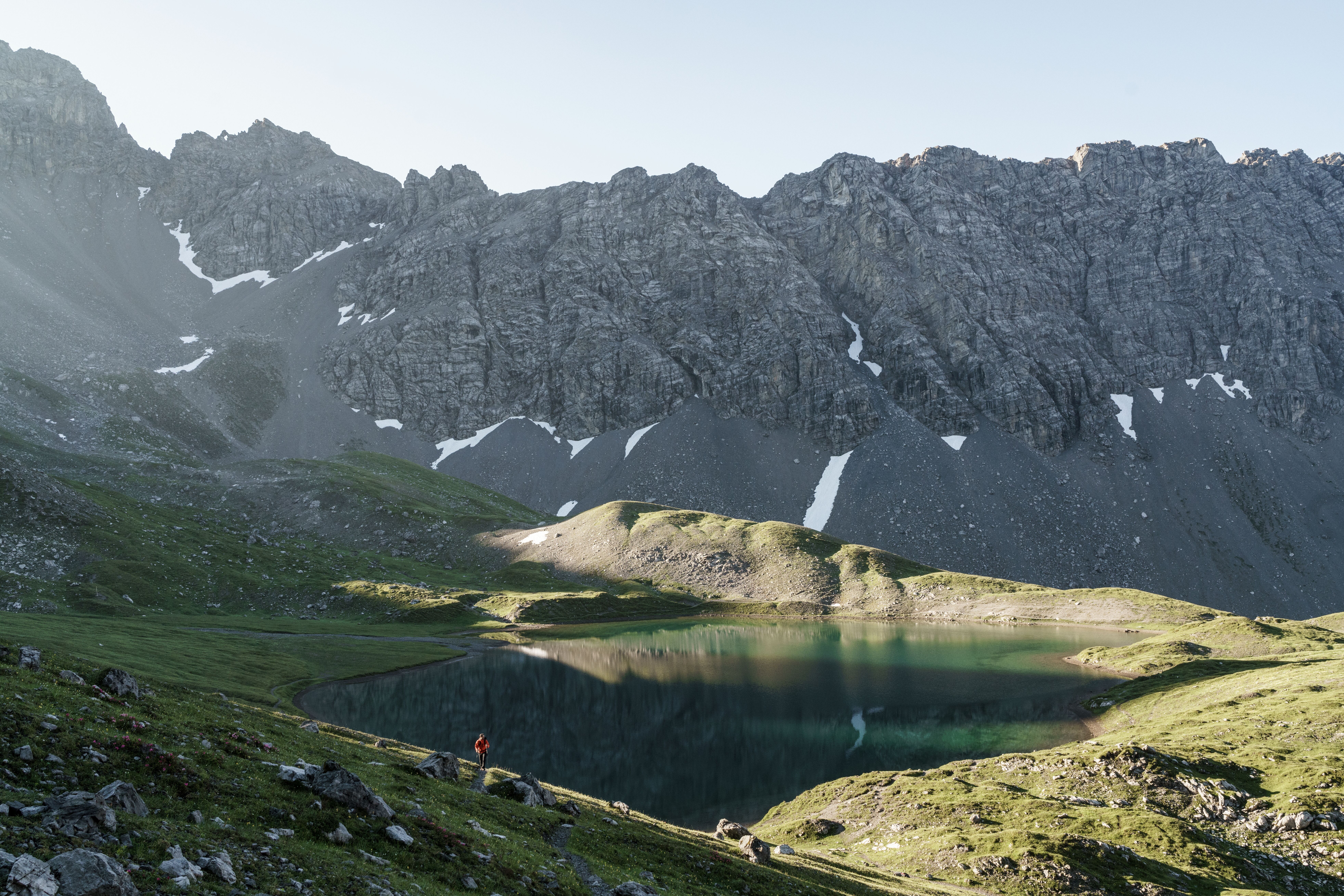
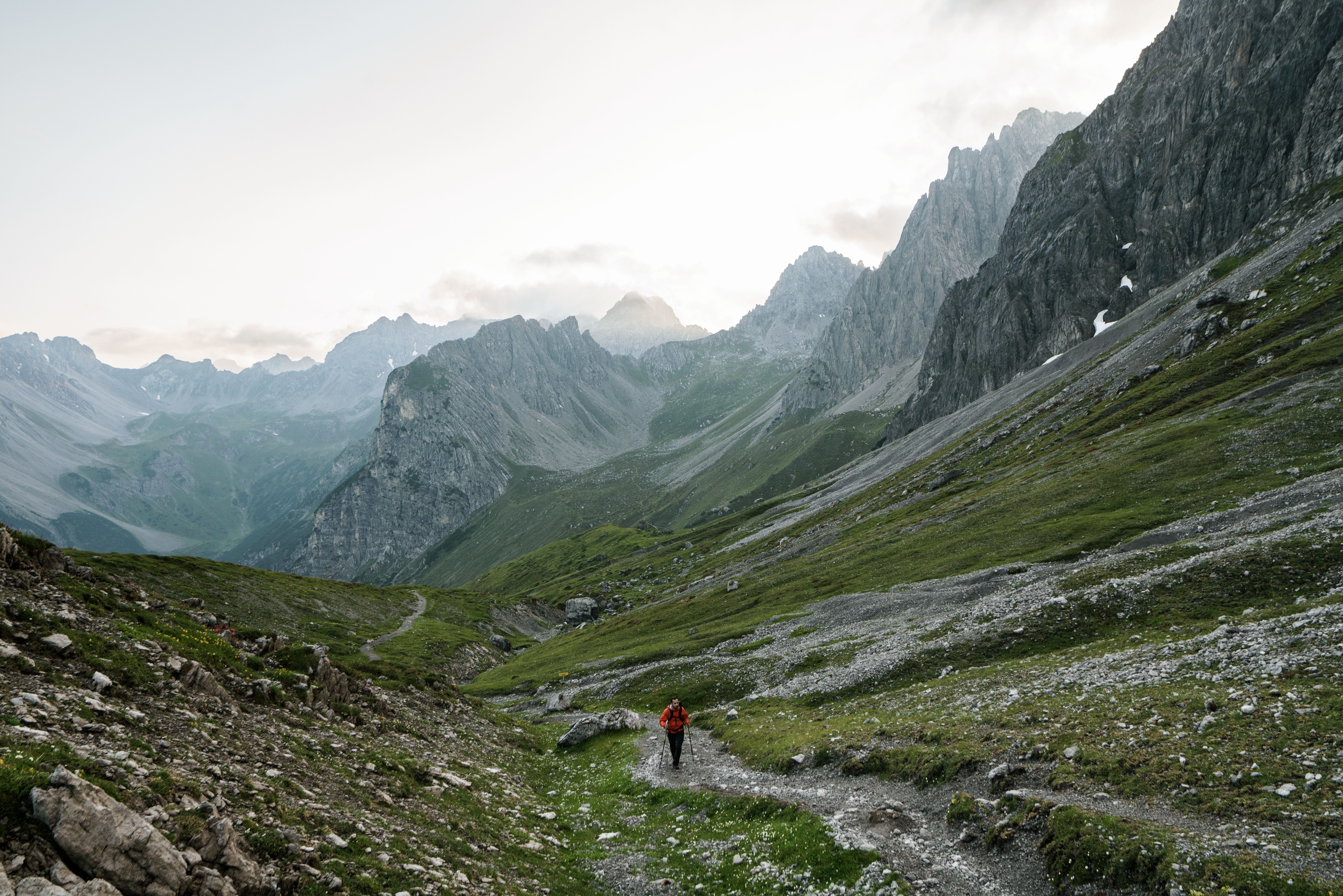
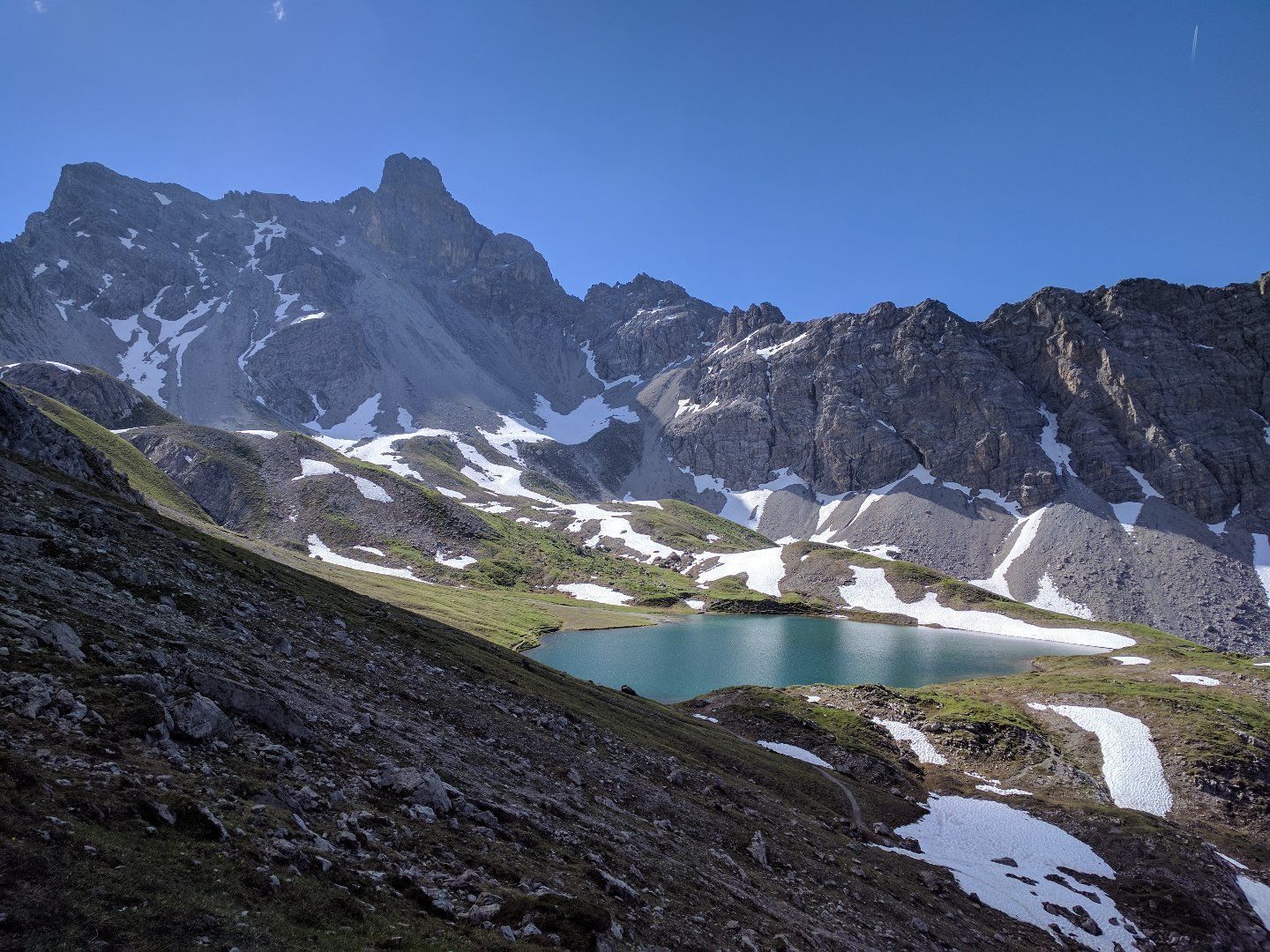
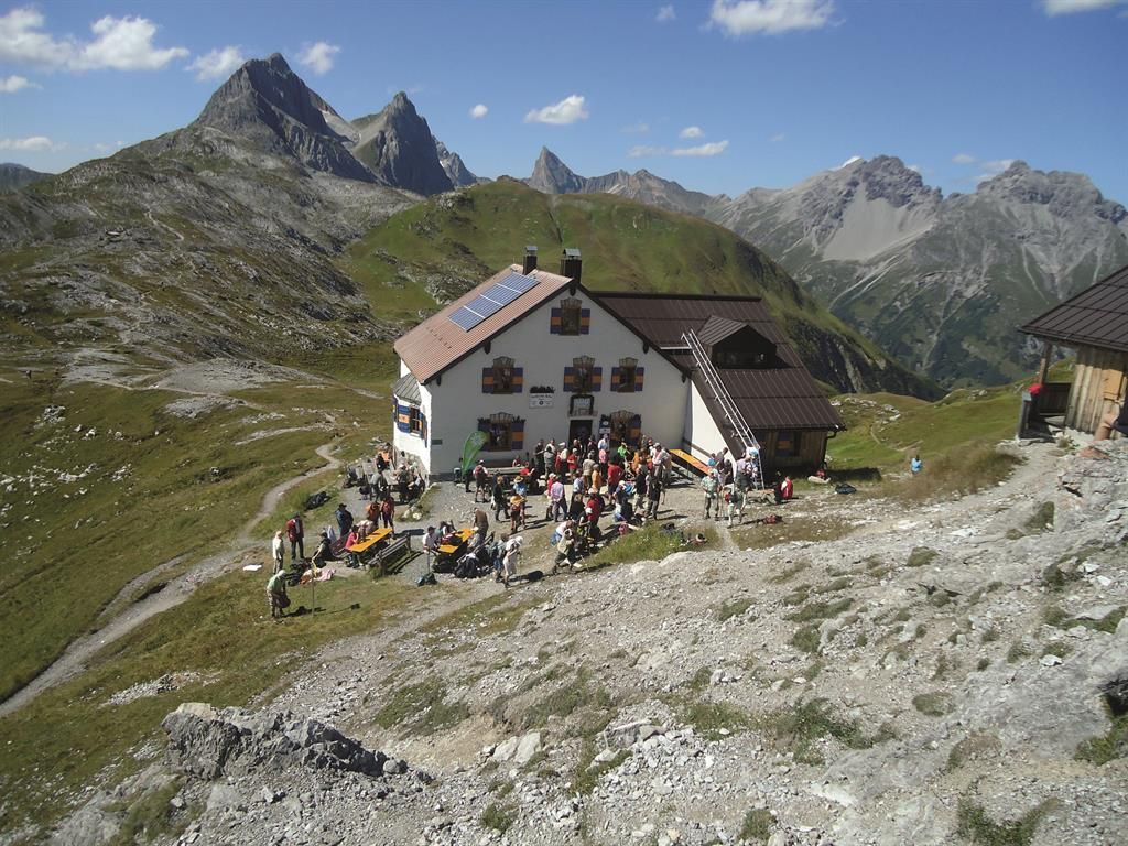
Lechtaler Höhenweg: The soles of the feet of long-distance hiking enthusiasts start to tingle, as it is a section of the North Alpine long-distance hiking trail 01 and the legendary "E4". Always hiking at altitudes between 2,000 and 2,500 meters, mountaineers can expect breathtaking mountain experiences and cosy huts that are strung together like pearls on a necklace and vie for a visit.
The entire Lechtaler Höhenweg is classified as difficult and runs exclusively on black mountain paths. Alpine experience, surefootedness, a head for heights and a very good level of fitness are required.