Mountain hikes Landeck - Thialkopf - Hochgallmigg

Tobadill / Samnaungruppe
Difficulty ratings: medium
Route length: 19.8 km
Duration: 11:15 h

From Landeck via the Perfuchser ski hut up to the Thialkopf 2,398m. The trail leads down via Hochgallmigg back to Landeck.

Tour information

  • Requirement: medium
  • Length: 19.8 km
  • Duration: 11:15 h
  • Elevation uphill:1,630 hm
  • Elevation downhill:1,630 hm
Highest point2,398 m

Starting point

Stadtpfarrkirche Landeck

Finishing point

Stadtpfarrkirche Landeck
  • Fitness level 5 / 6
  • Technique 4 / 6

Features

  • Circular route

Best time of year

  • January
  • February
  • March
  • April
  • May
  • June
  • July
  • August
  • September
  • October
  • November
  • December

Trail condition

Asphalt, Forstweg, Steig
Source: Tirol West

Description

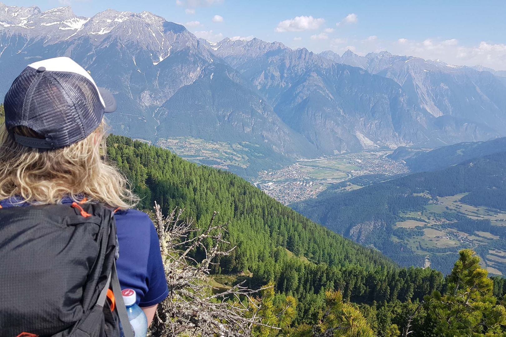
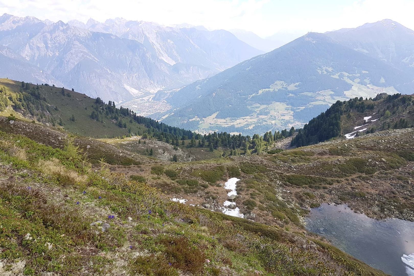
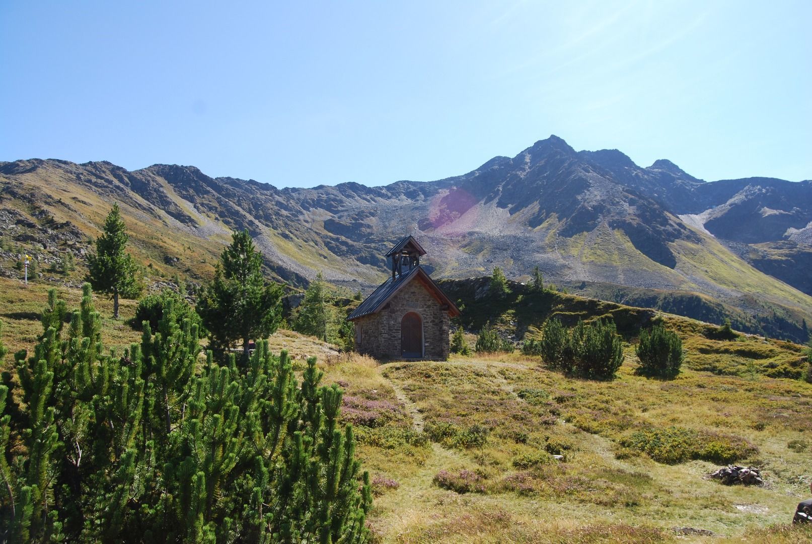
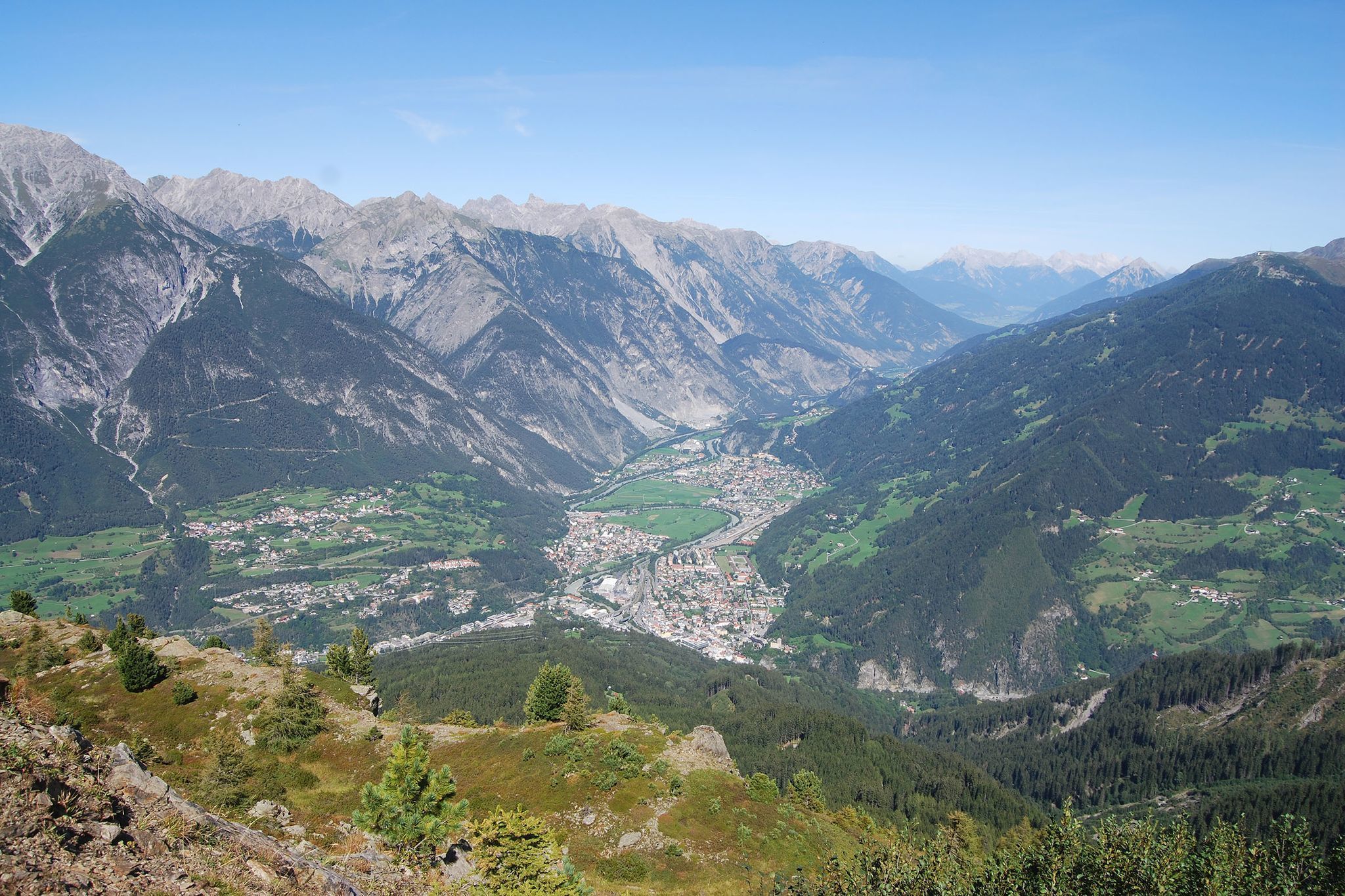
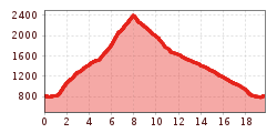
From Landeck parish church over the Gerberbrücke bridge up to Perfuchs. After the village fountain, turn left onto Hasliweg and follow the path up to the Perfuchs ski hut. From there, the trail leads up to the Zirmegg in many hairpin bends. After a rest at the Zirmegg chapel, you hike over the ridge up to the highest point of the tour, the Thialkopf. For the descent, the route via the Hochgallmigger Alm and Hochgallmigg is recommended, although the first section is a little rough due to the large boulders.

More tours in the surrounding area

Newsletter

The mountain is calling? So does our newsletter!

In our monthly newsletter we reveal the best holiday tips for Tyrol.