
Opening hours:Open today
Place:
Seefeld in Tirol
:
Alpine pasture / hut / mountain restaurant
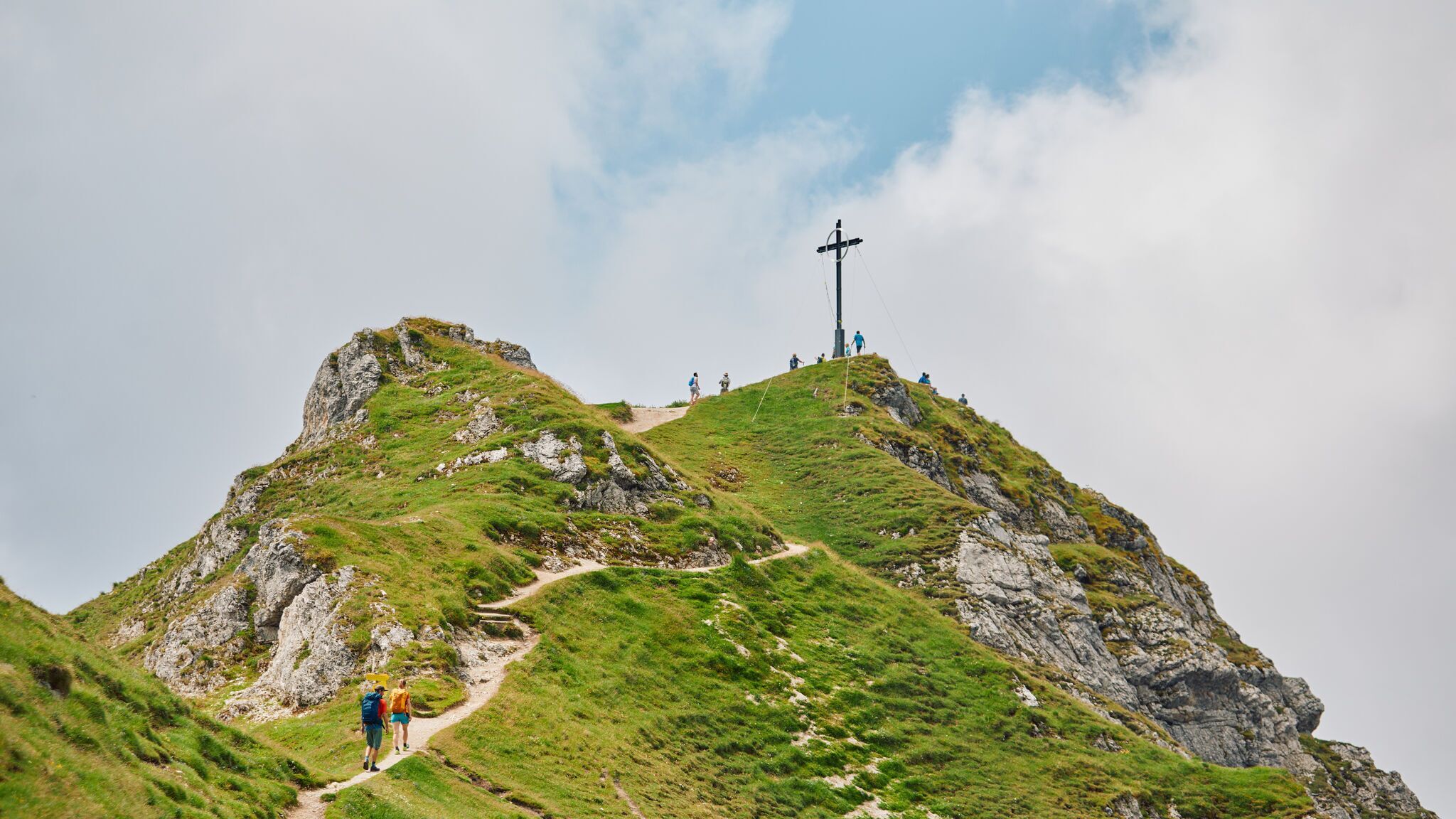
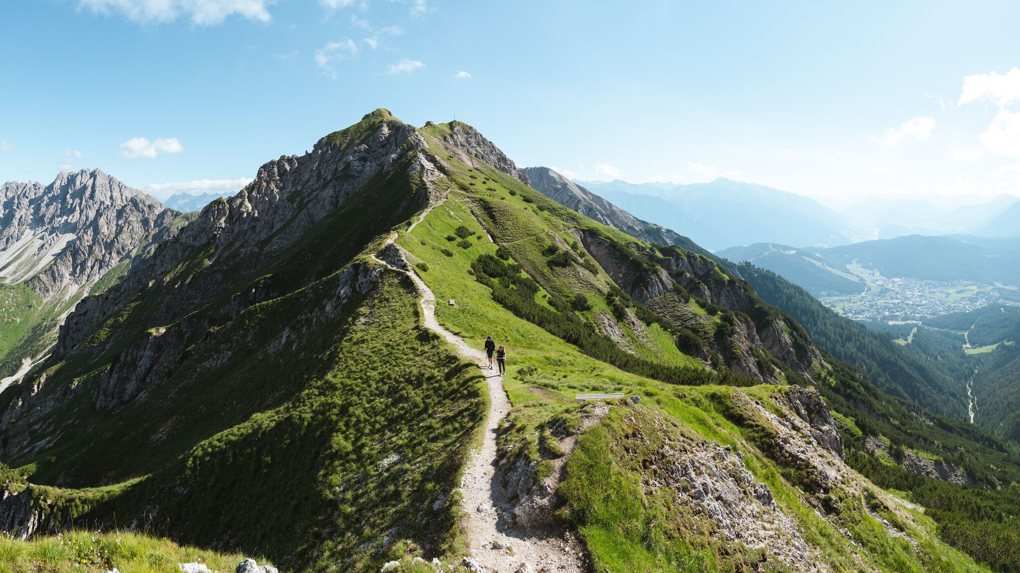
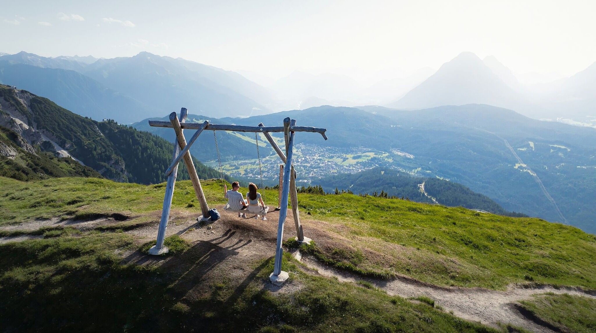
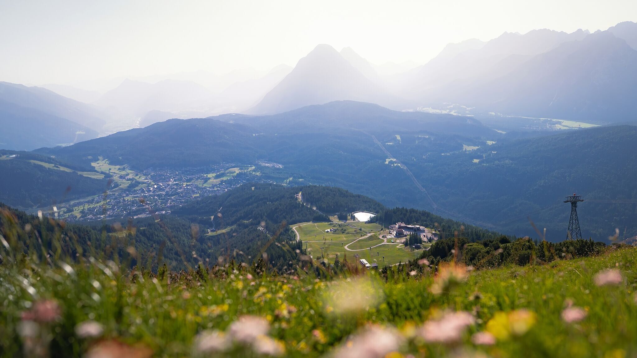
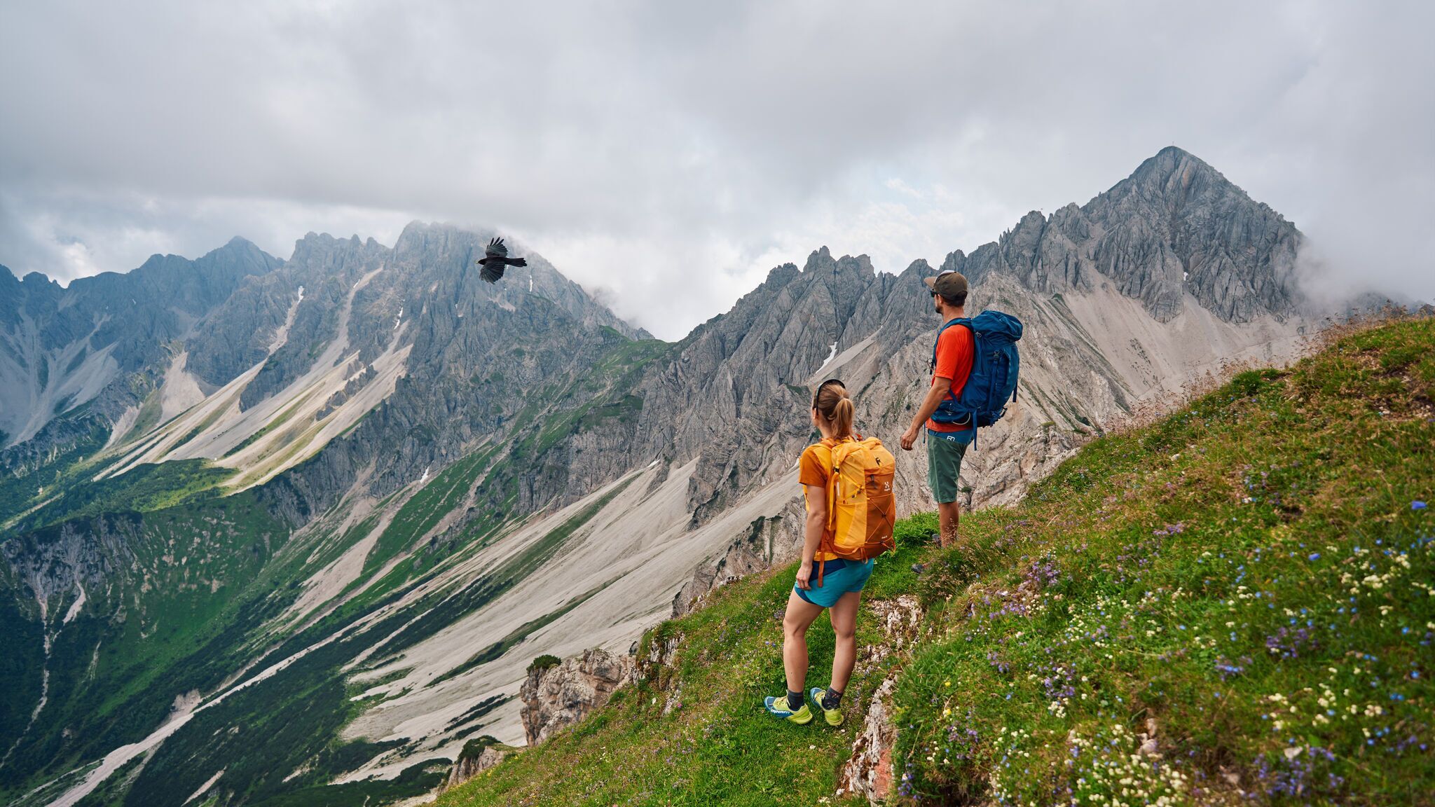
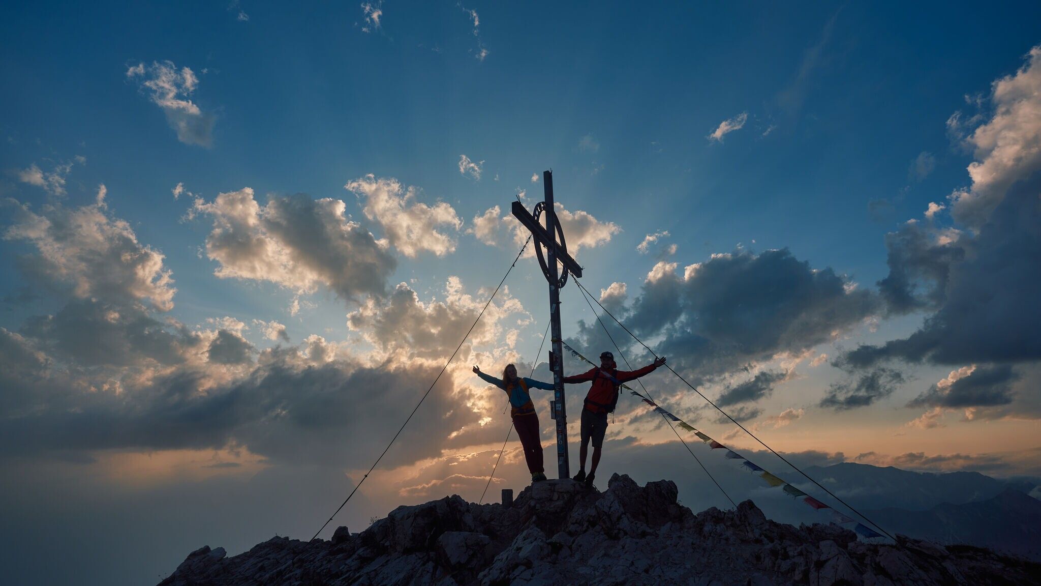
The Königstour is a challenging mountain hike starting from Seefeld, leading over the peaks of Seefelder Spitze (2,220 m) and Reither Spitze (2,373 m), rewarding hikers with impressive views of the Inn Valley, the entire Seefeld Plateau, and the surrounding mountain ranges.
Forest road, meadow path, root path and gravel path.
All current information about the trail closures in the Region Seefeld can be found here.
Have you been out and about in the Region and discovered a spot that we should rework or repair? Fill out the form "Report a danger zone" and let us know where work is needed.
Sturdy hiking shoes, functional clothing, a backpack, water, snacks, alpine experience, and sure-footedness are necessary for this tour!
Also recommended: a hiking map or GPS, a first aid kit, sun protection, hiking poles, and an emergency blanket.
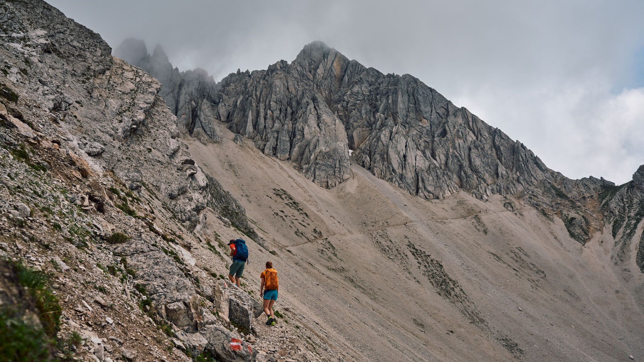
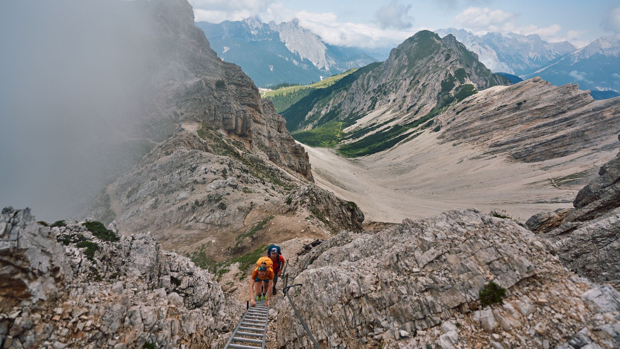
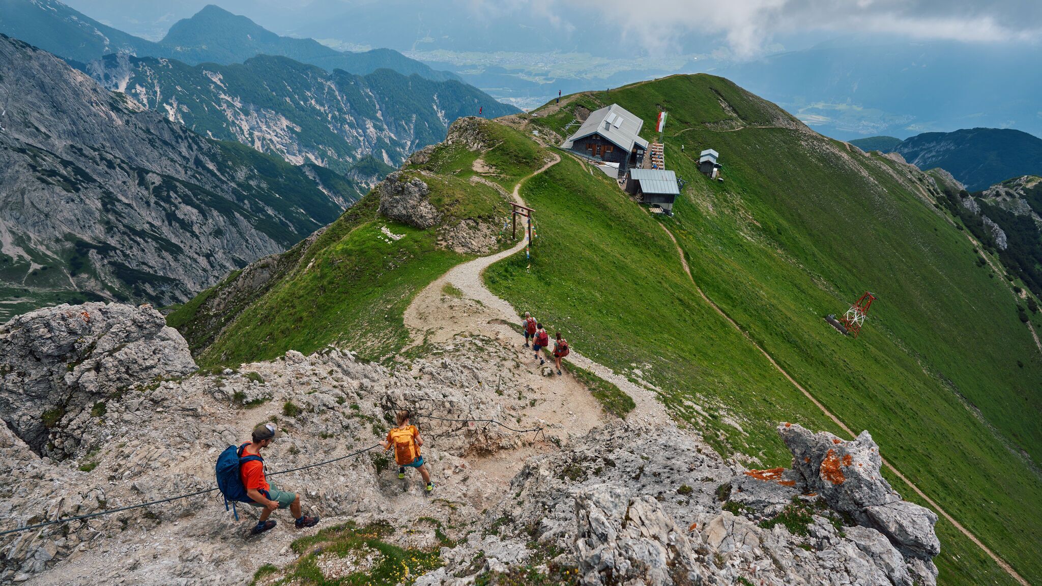
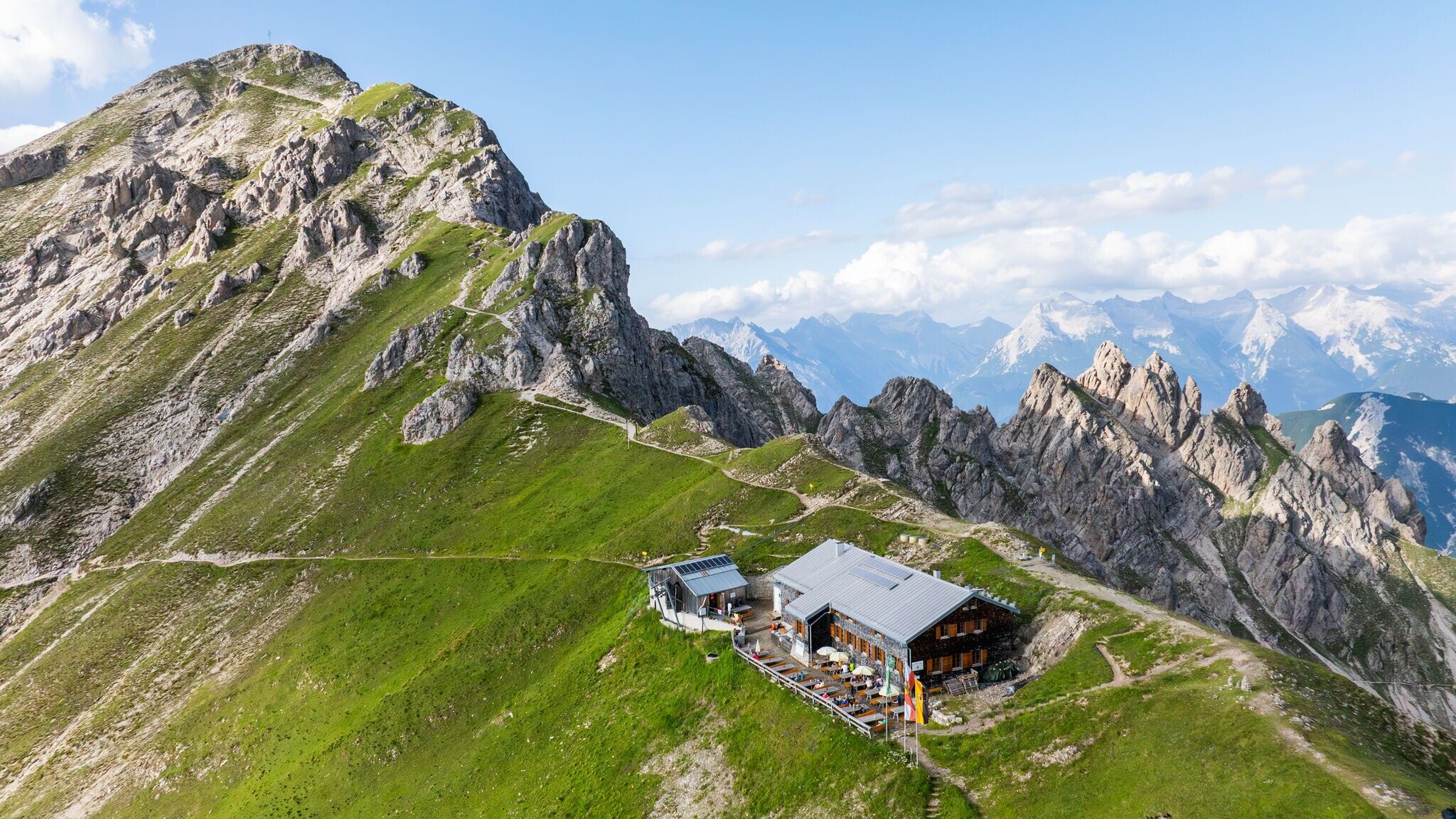
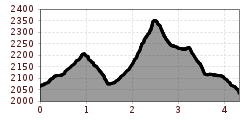
This challenging hike begins with a ride on the funicular of the Bergbahnen Rosshütte to Seefelder Joch at 2,064 meters. The actual hike covers nearly five kilometers and 500 meters of elevation gain. Along the way, you will summit the Seefelder Spitze (2,220 m) and Reither Spitze (2,373 m). After about three hours of hiking, you will reach the Nördlinger Hütte at 2,230 meters. The descent takes about an hour to reach the Härmelekopfbahn mountain station, where you can conveniently take the cable car back to the valley.
For those seeking more adventure, you can opt for the Panorama via ferrata from the middle station to the Seefelder Spitze on the way up. On the way down, instead of taking the cable car, you can choose the two-hour hiking trail from Härmelekopf back down, with a possible stop at Reitherjoch-Alm (1,500 m).
Take public transport to Seefeld Railway Station and walk 10 minutes to the starting point, the valley station of the Rosshütte mountain lifts.
All real-time connections can be found in the route planner.


.jpg")

.jpg")
.jpg")
 Olympiaregion Seefeld")


.jpg")


.jpg")


.jpg")

 (2).jpg")


