
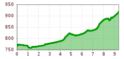
Difficulty:
easy
Length:
11.4 km
Duration:
3:15 h
Elevation uphill:
180 m
The valley hike from Kitzbühel to Jochberg
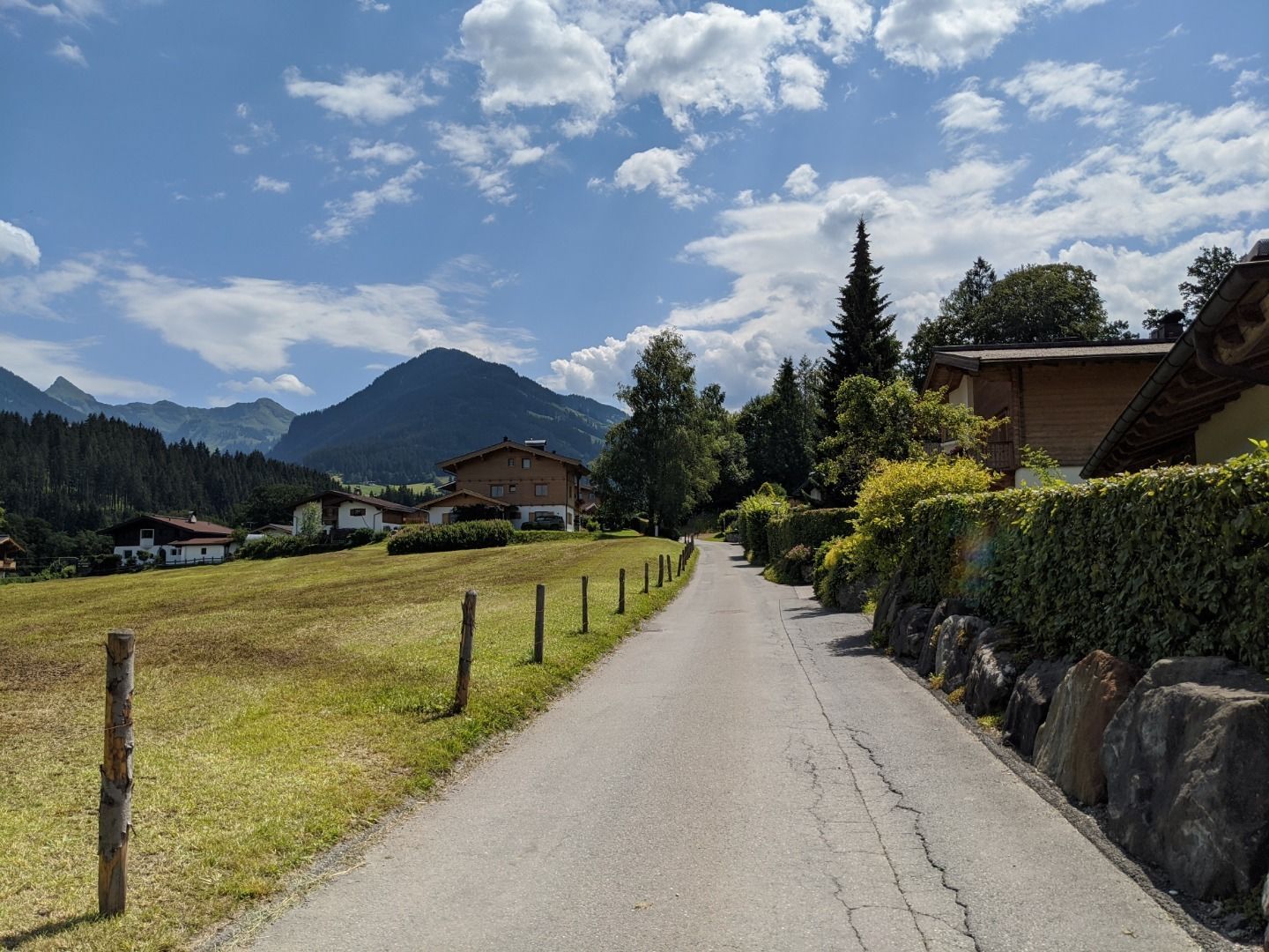
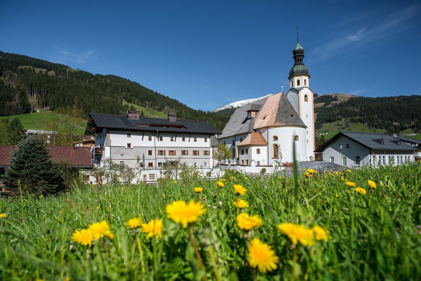
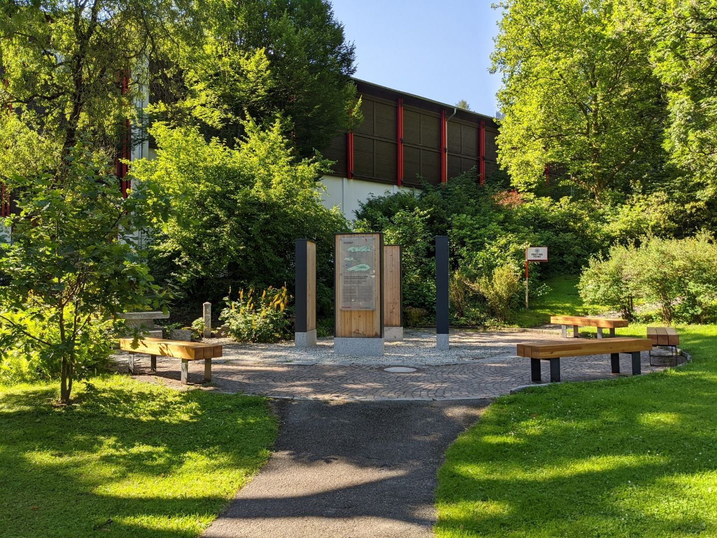
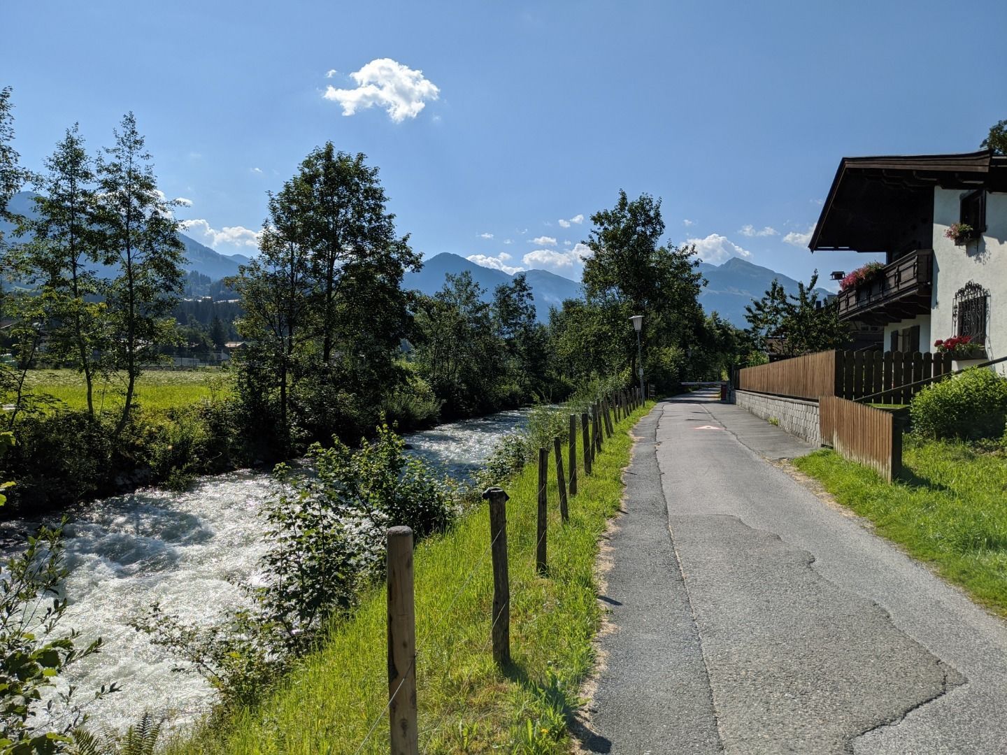
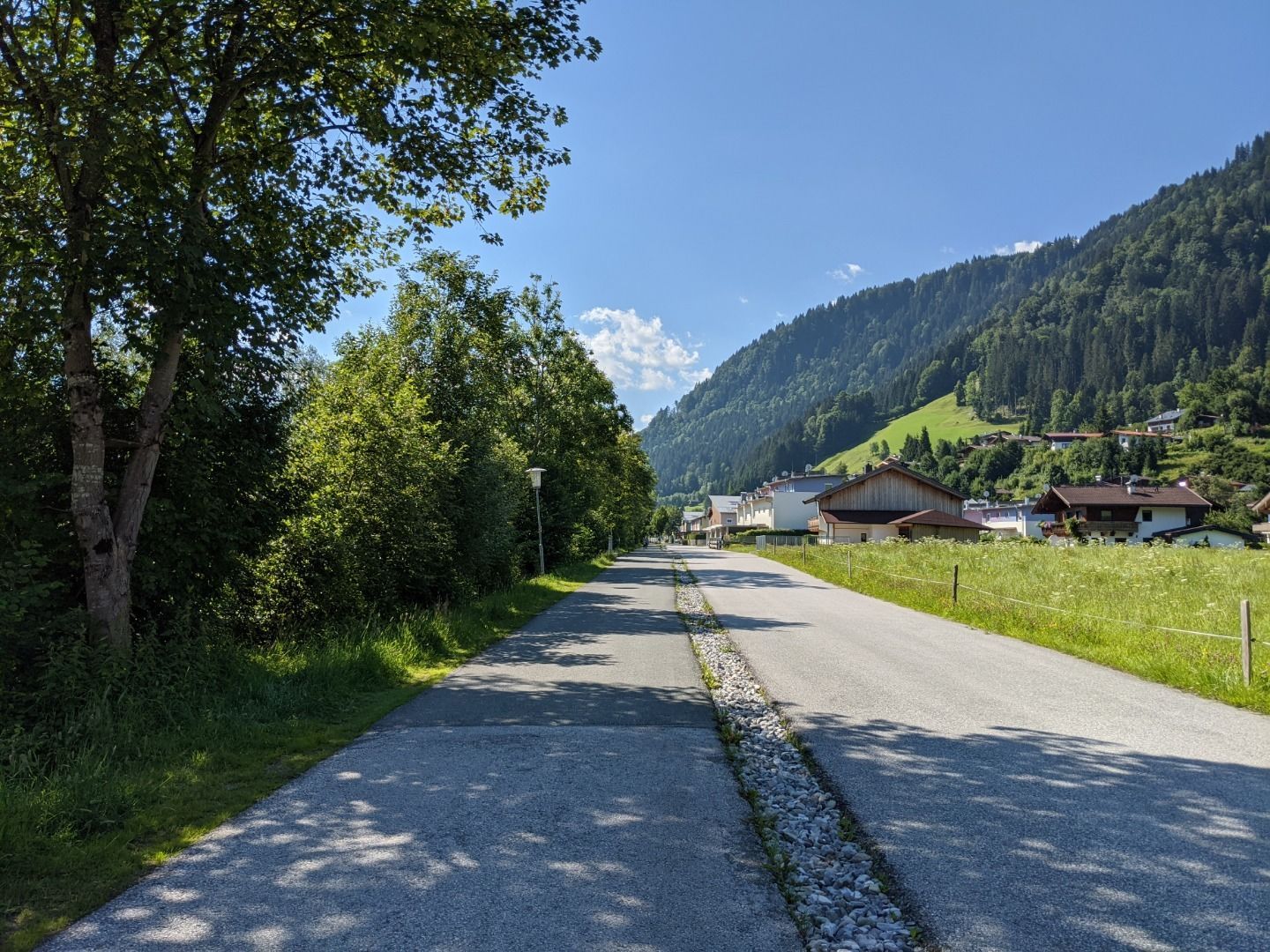
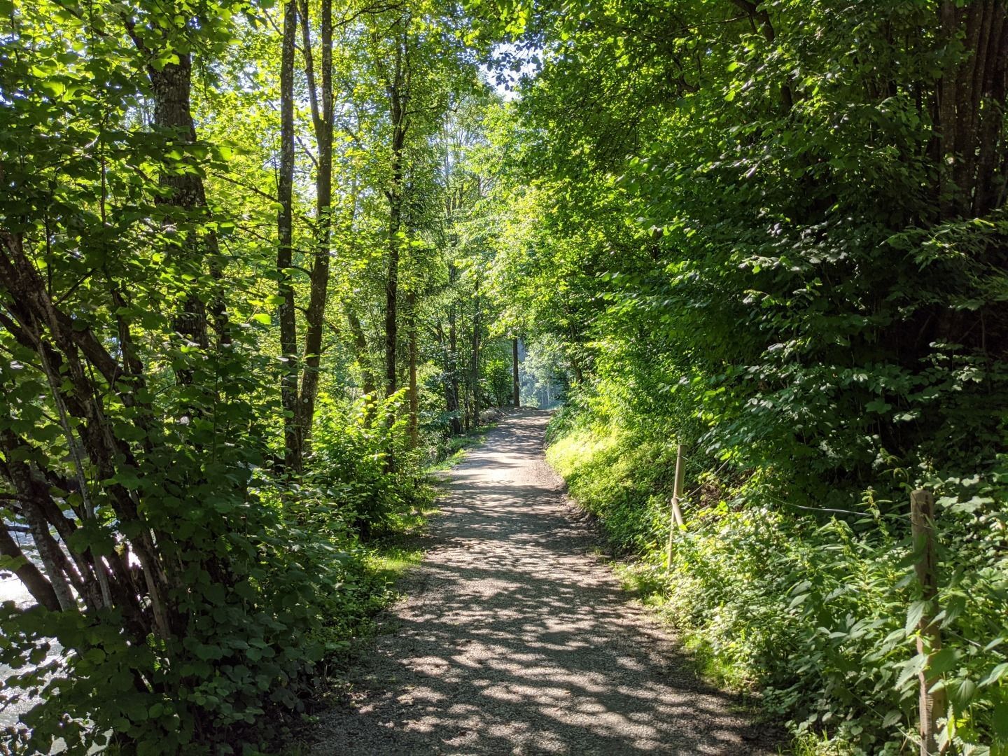
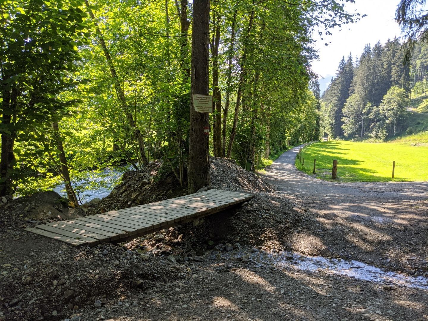
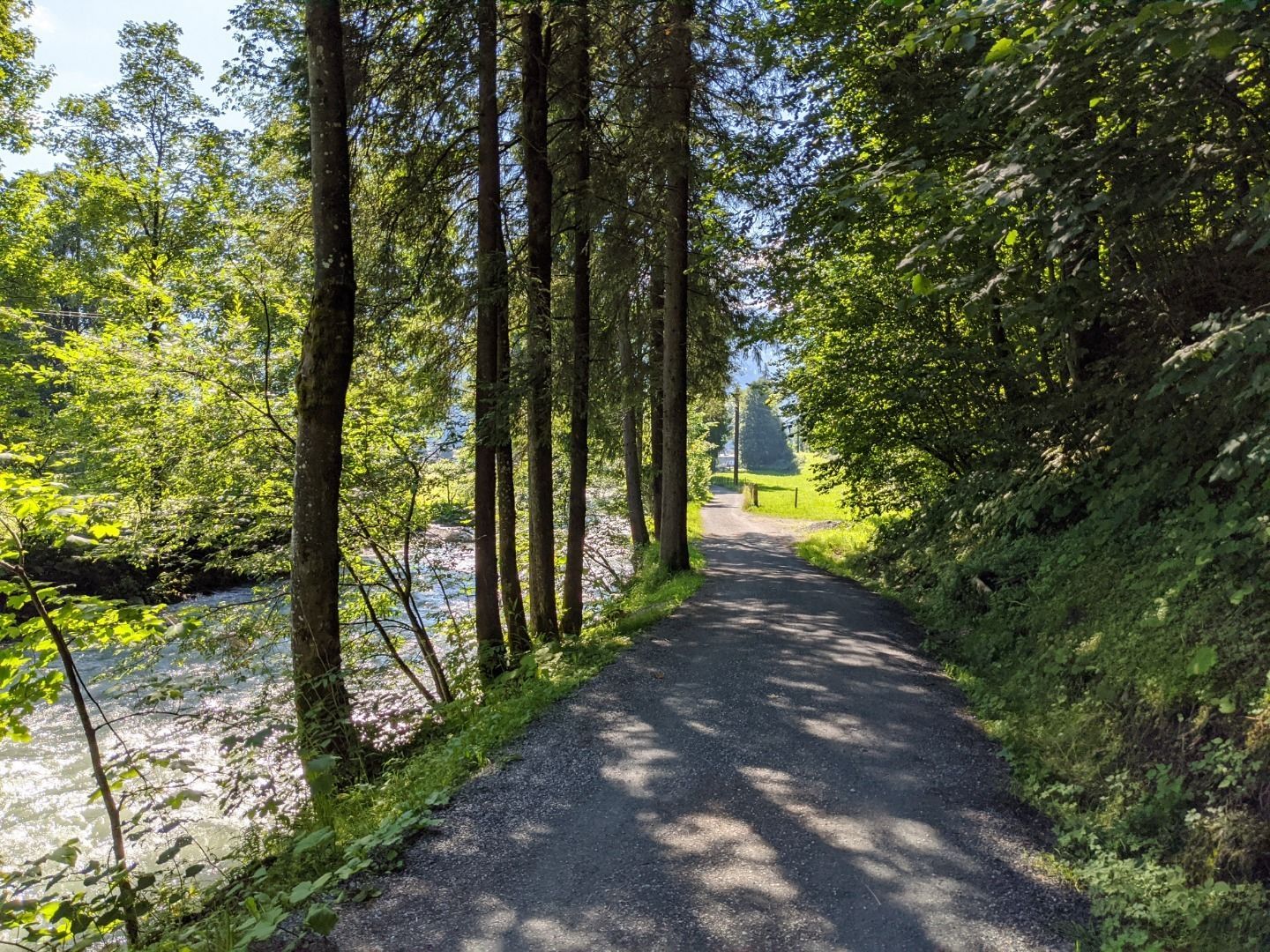
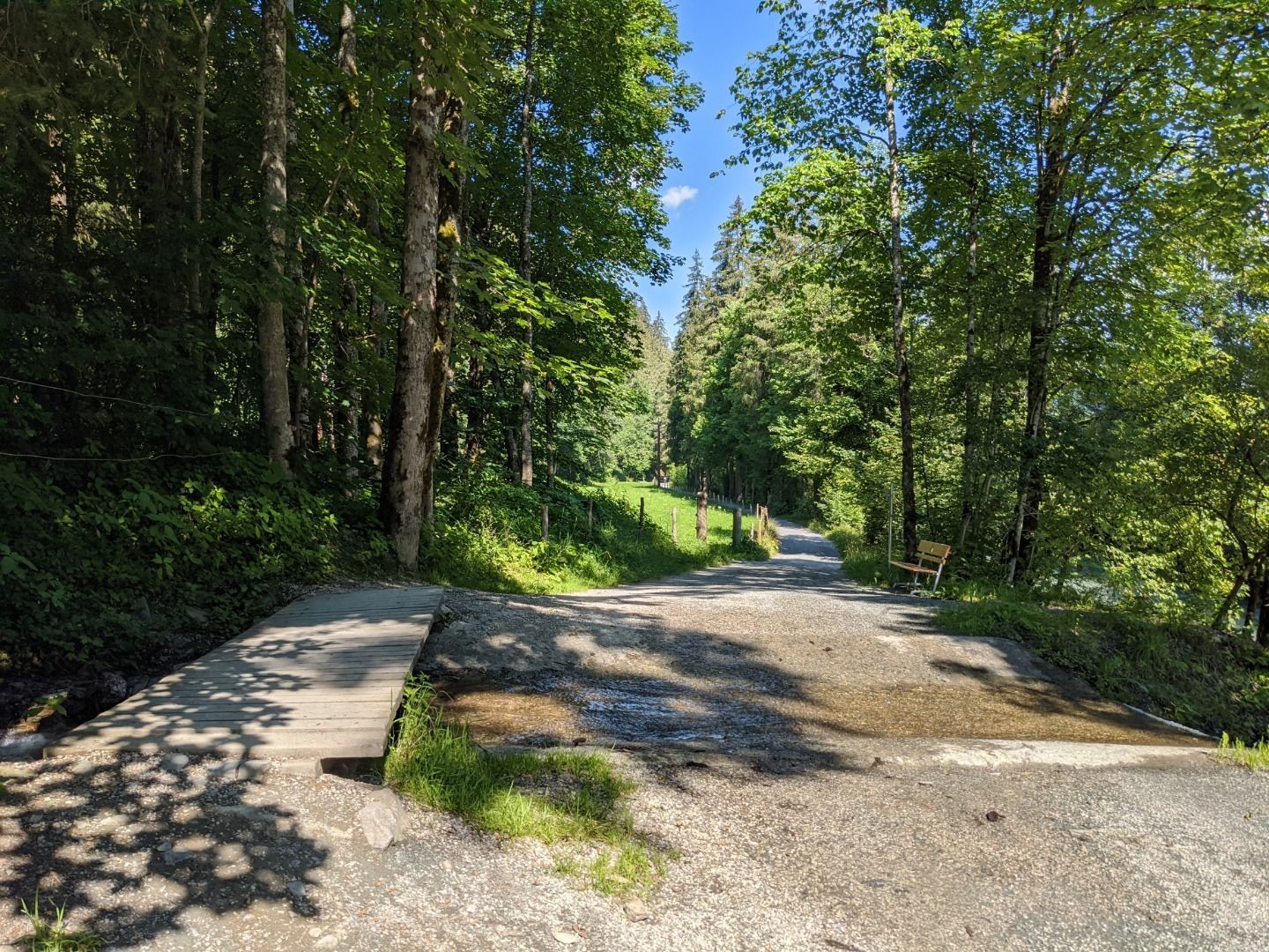
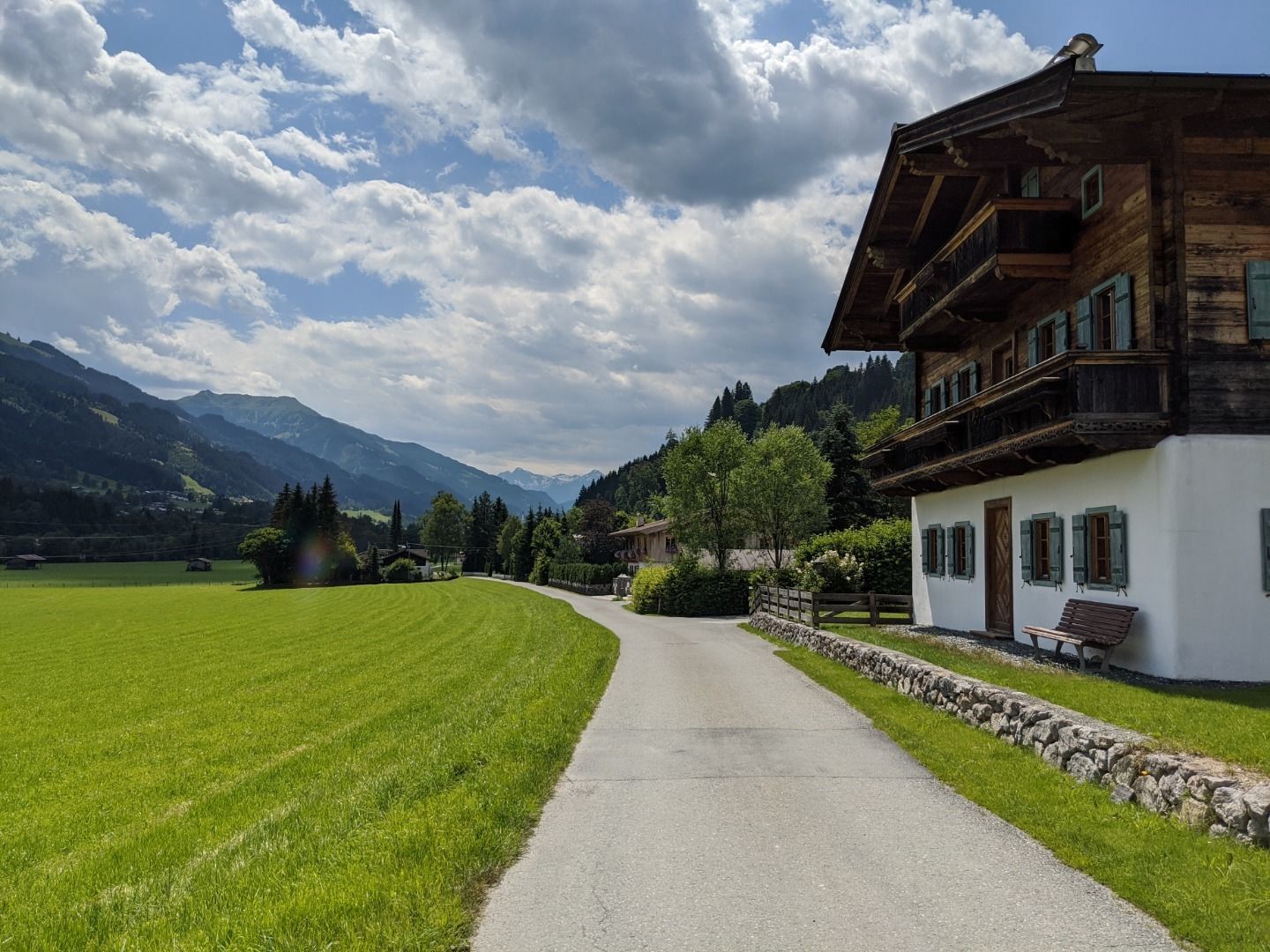
This hike starts from the hiking information point in Kitzbühel and follows the Ache stream to Jochberg. lt then leads along the rail track towards the tennis Stadium until it reaches the bridge where it turns right onto the Achenpro menade riverside path towards Aurach. The route follows the Großache river until Unteraurach, then the Traidlweg path to Hechenmoos followed by the Gigglingweg/Schwerterweg past the foothills of the prehistoric moraine to Auberger farm. From there, follow the signs to Jochberg, past the church tower and back to the village centre. lt is possible to take a VVT regional bus back to the start of the hike.


 (1).jpg")


.jpg")
")

 Gamshütte - Friesenberghaus")

www.bergpixel.de")


