Description
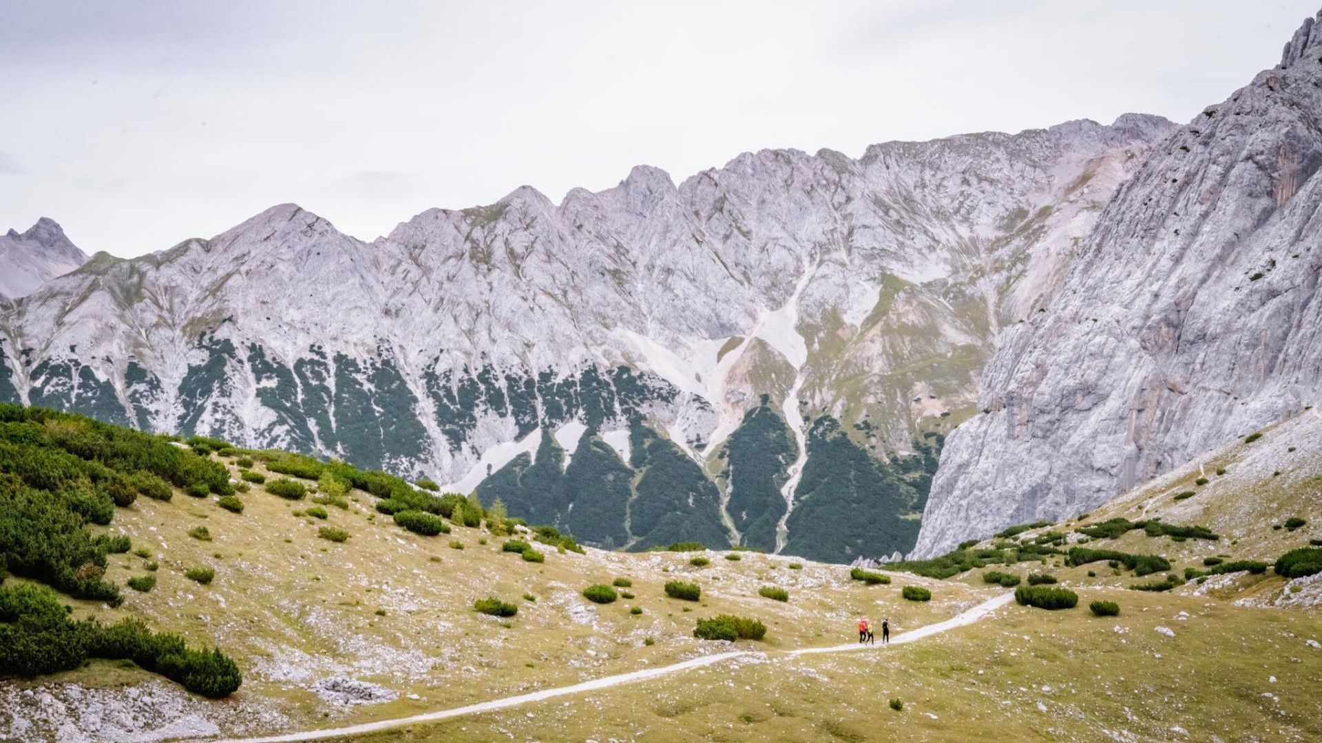
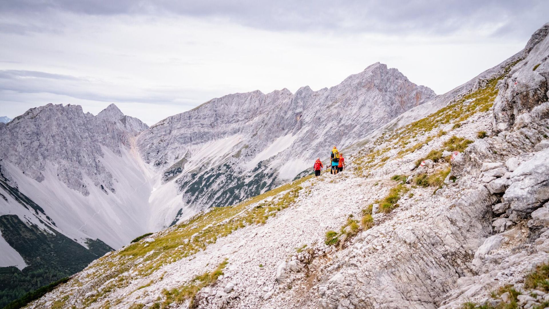
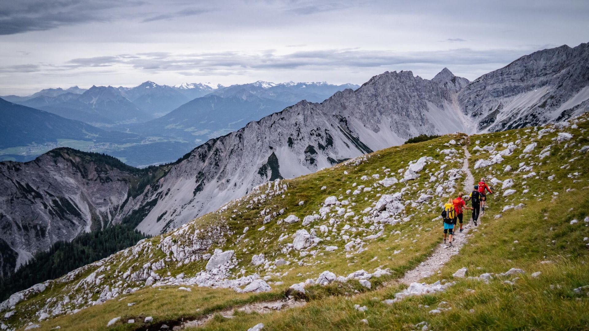
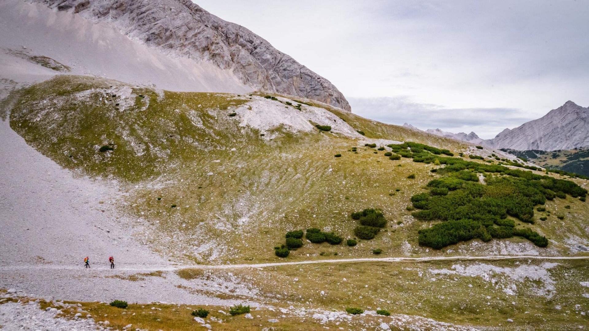
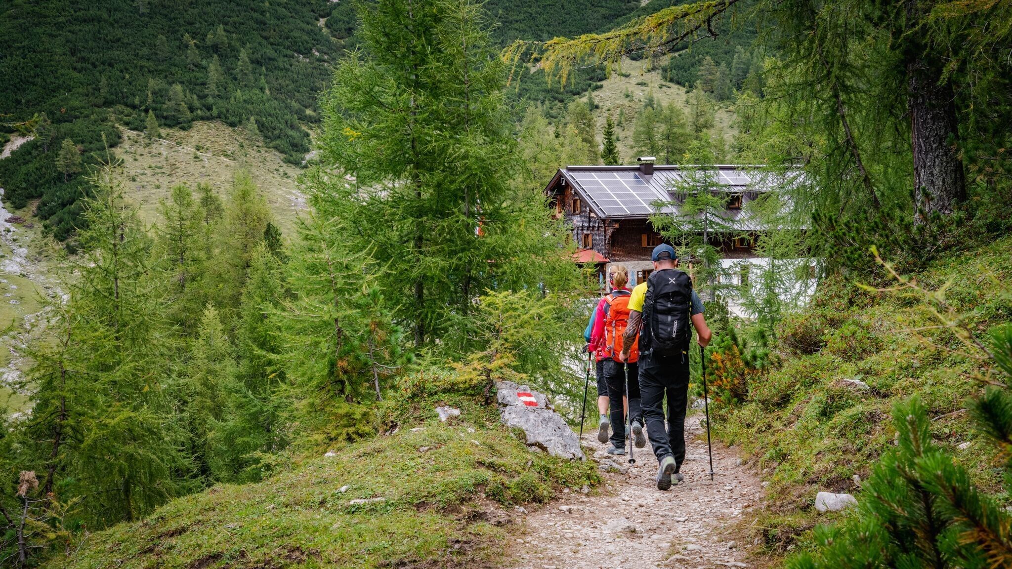
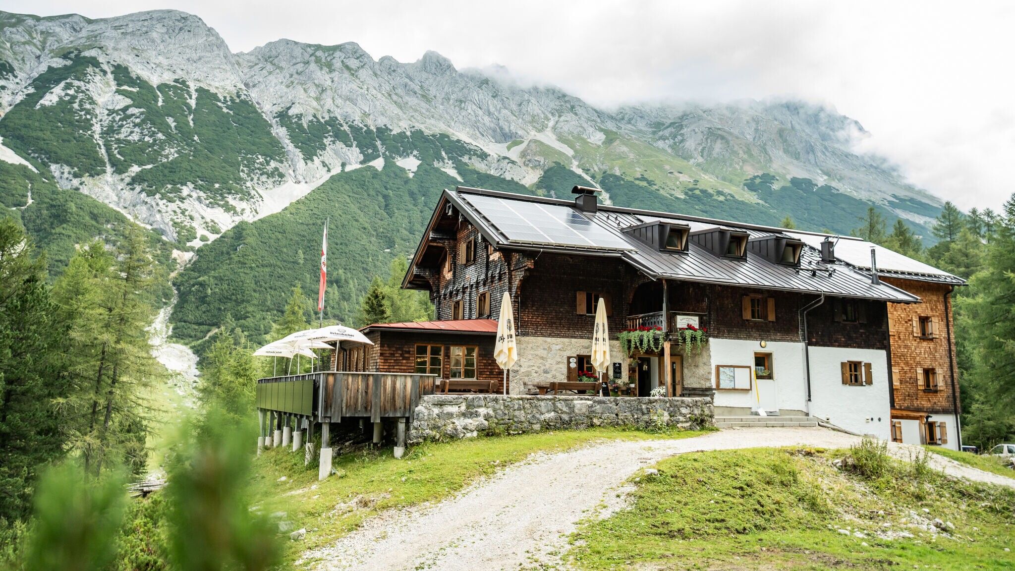
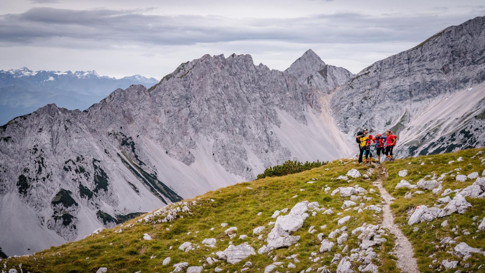
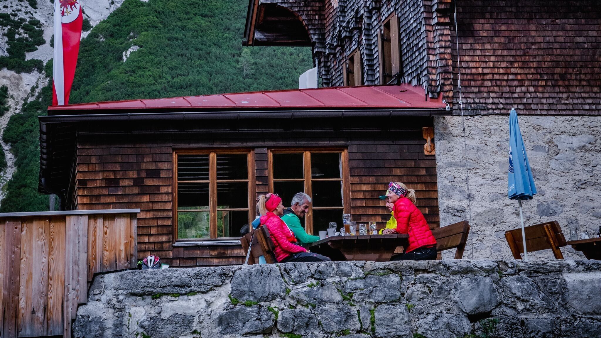
After a night at the Bettelwurfhütte, the eagle's nest of the Karwendel, the fith stage of the Karwendel High Trail begins. The trail starts with a gentle climb eastward, well-marked, into the gully where the path from Halltal joins. It then continues to ascend southeast toward the 'Eisengatter Ridge,' the southern ridge of the Großer Bettelwurf. Once there, you turn on to trail 223 heading north. As part of the famous Adlerweg long-distance hiking trail, this guides you between the Lafatscher, Roßkopf and Speckkarspitze mountains on a continuous descent to the Hallerangerhaus hut. From here, keep north, steadily uphill along the Eisengattergrat towards the summit until you reach the rocky outcrop and the first wire-rope-secured passages. The following, partly secured and partly in easy climbing (I) to overcome in good grip limestone, now leads mostly to the right of a diagonally descending gully to the summit ridge and overcomes some partly exposed rock bands. Towards the top, the path becomes somewhat steeper. Shortly below the summit ridge the path divides, whereby the left path seen from below is easier to climb. At the summit ridge, keep to the east and reach the summit cross via a narrower ridge section that is exposed on both sides. From the summit, take the same route back to the Bettelwurfhütte hut. After a refreshment at the hut, the route continues slightly uphill and downhill on trail no. 222 back to the Lafatscher Joch (2081 m). There you branch off in a northerly direction onto trail no. 223. This path is also part of the famous long-distance hiking trail “Adlerweg”. Between Kleinem Lafatscher, Lafatscher Roßkopf and Speckkarspitze, you walk downhill to the north until you reach the beautifully situated Hallerangerhaus hut.