Manfred Pfister.jpg")
Difficulty:medium
Length:12.2 kmDuration:4:00 hElevation uphill:270 m
Kaltenbach - Waterfall - Kaltenbach
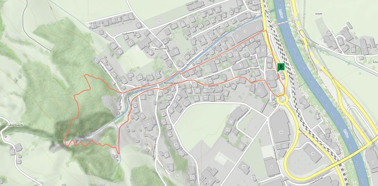

Departing from Kaltenbach railway station, head out of the valley and follow the road uphill to the left when you reach the Sparkasse bank. After passing Marienkapelle chapel on the right-hand side of the stream, walk to the end of the road: This is where the hiking trail leads into the forest. This section begins with a moderate ascent,
but then remains level all the way through to Kaltenbach waterfall. The return journey heads through the high-ropes course along a steep asphalt road back to Marienkapelle chapel and from there to Kaltenbach.
stop off possibilities: restaurants in the village

.jpg")

