
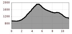
Difficulty:
easy
Length:
9.5 km
Duration:
4:18 h
Elevation uphill:
585 m
Judenköpfe

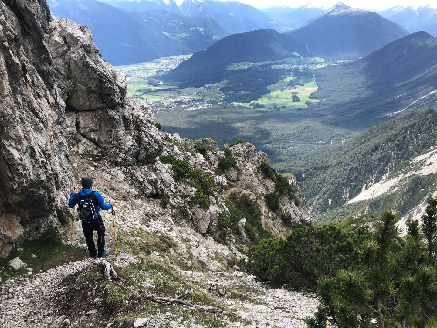
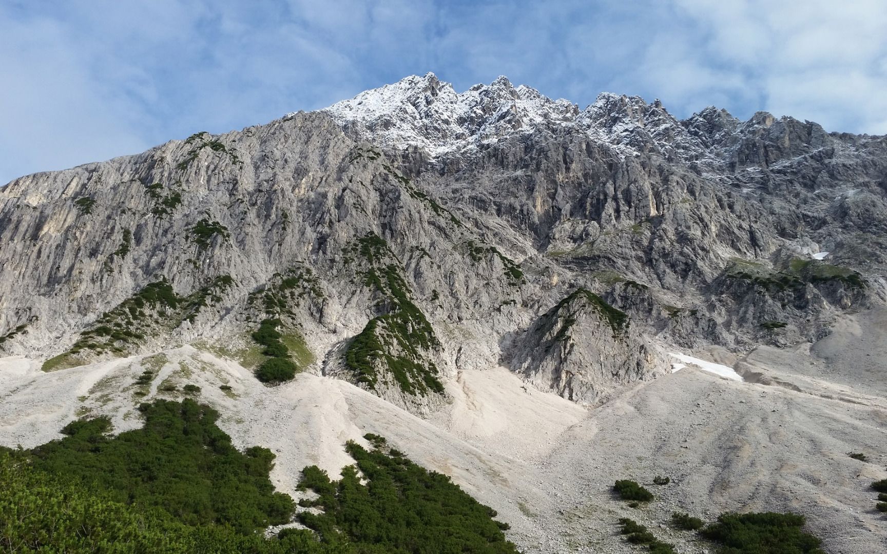

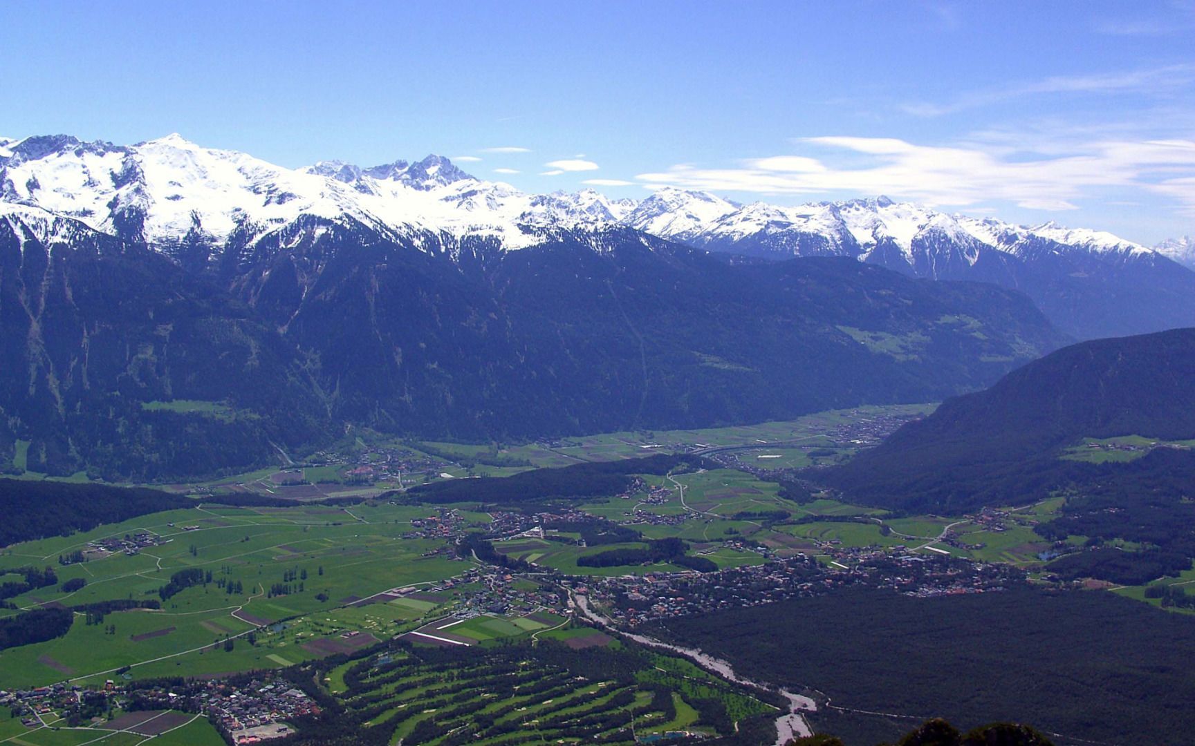
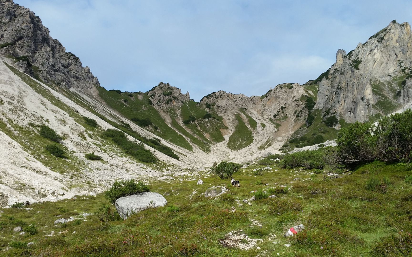
Head west from the hikers' car park along the forest road above Wildermieming until you come to the turn-off for the Iversensteig trail. This challenging mountain path leads steeply uphill to the Iversenhütte mountain hut (not open to the public). From there, the trail continues to the Judenköpfe. Hikers must be sure-footed and have a good head for heights. The hike remains just as challenging as it continues via Judentörl and later downhill along the Alplbach stream to the Neue Alplhütte mountain hut. The descent from there leads along the Alplbachsteig trail ("steinernes Meer" - literally "Rocky Sea") towards the Straßberghaus mountain hut and then along the Ochsenbründlsteig trail back to the car park.


.jpg")


