 Gamshütte - Friesenberghaus")
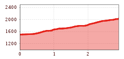
Difficulty:
difficult
Length:
14.6 km
Duration:
9:30 h
Elevation uphill:
1,100 m
Hintertux - Waldeben - Sommerbergalm
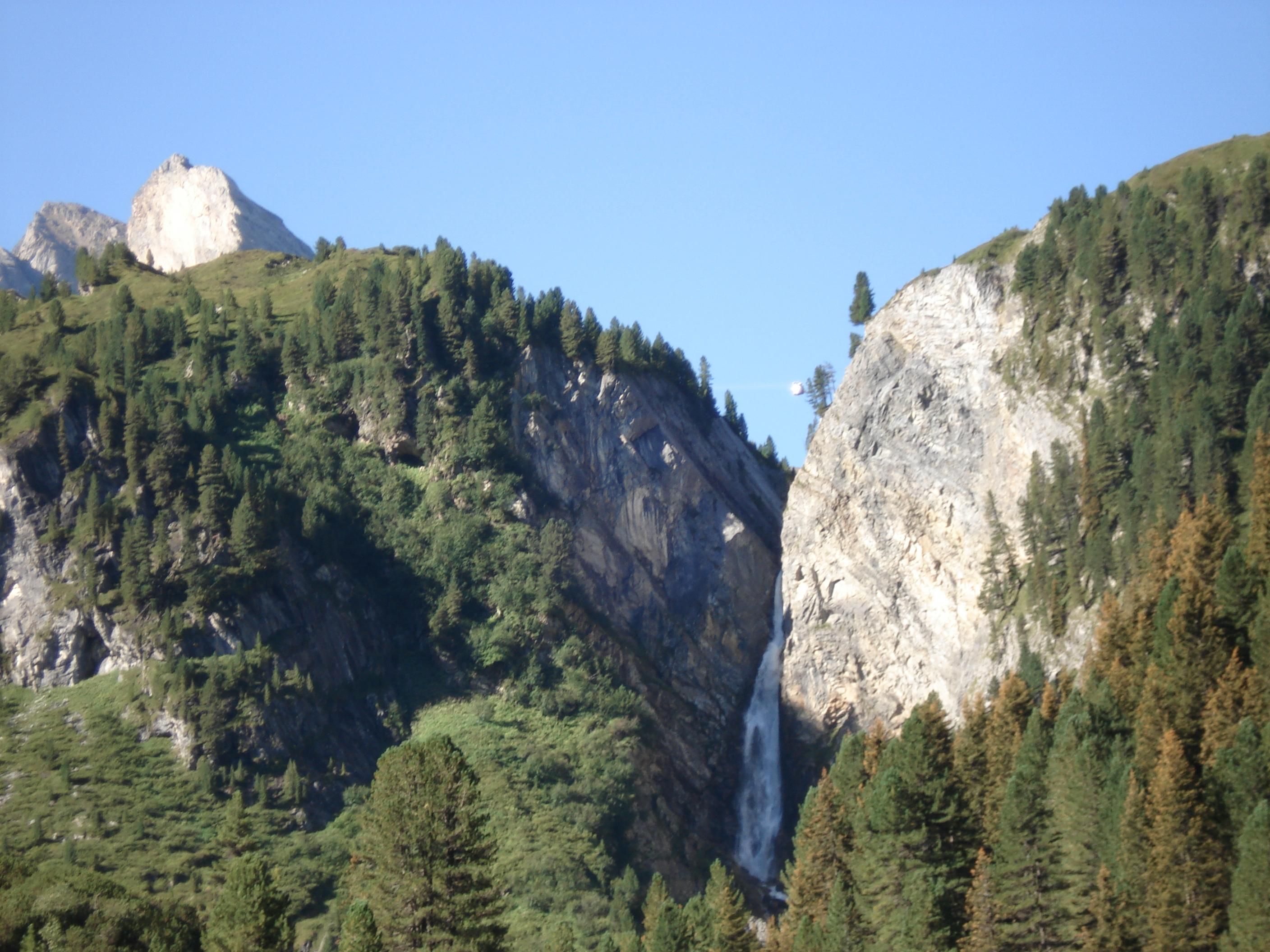
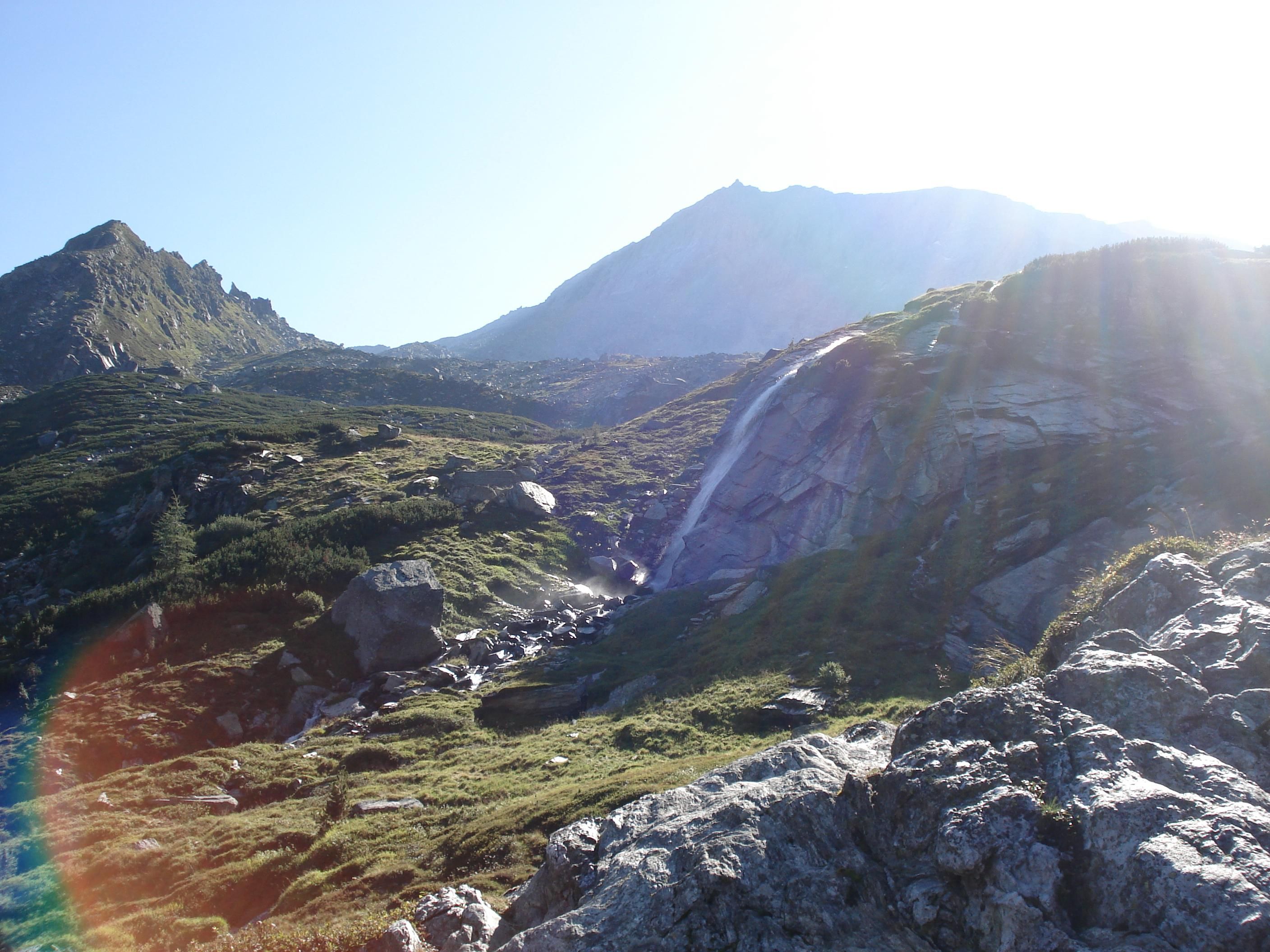
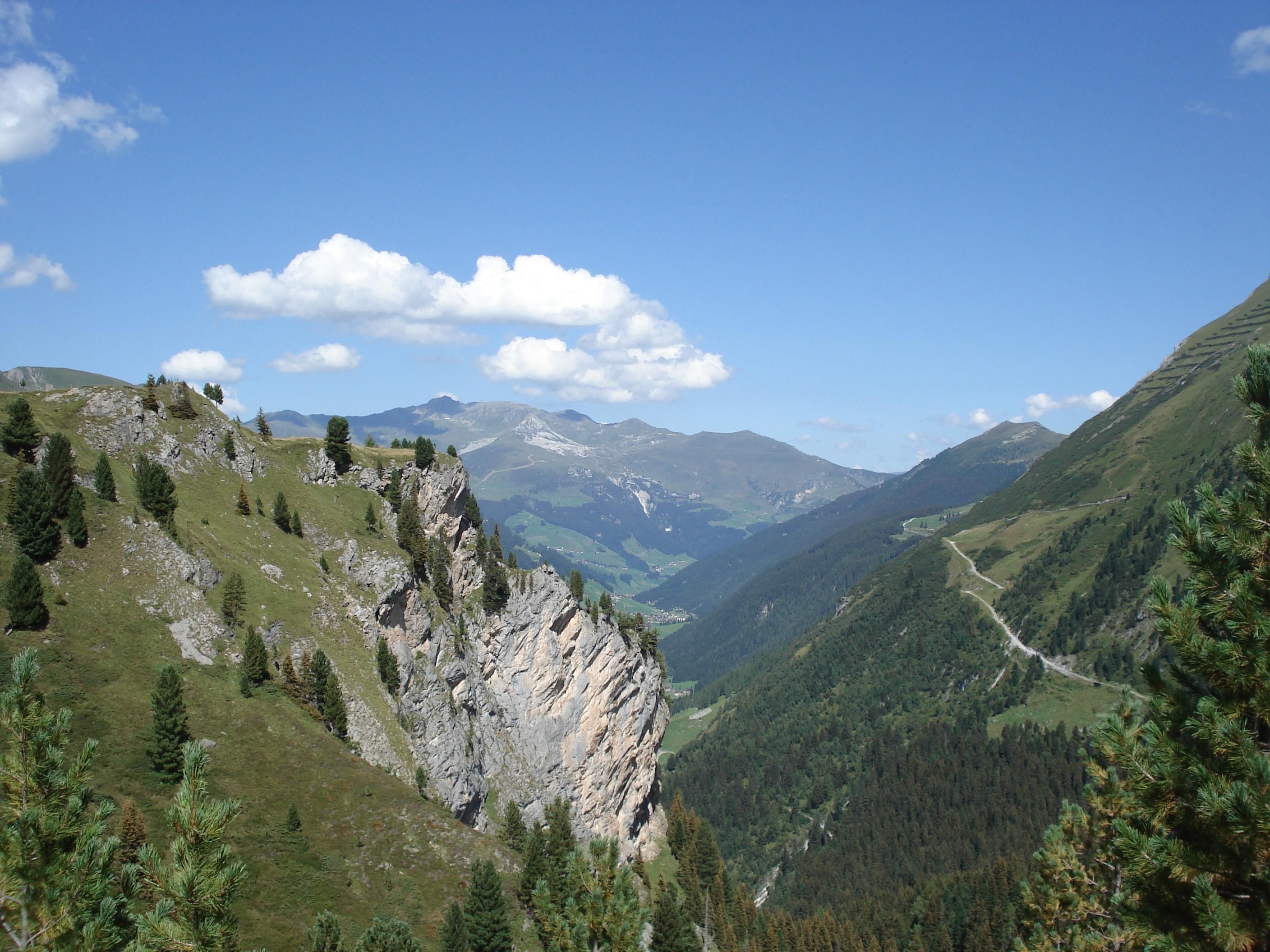
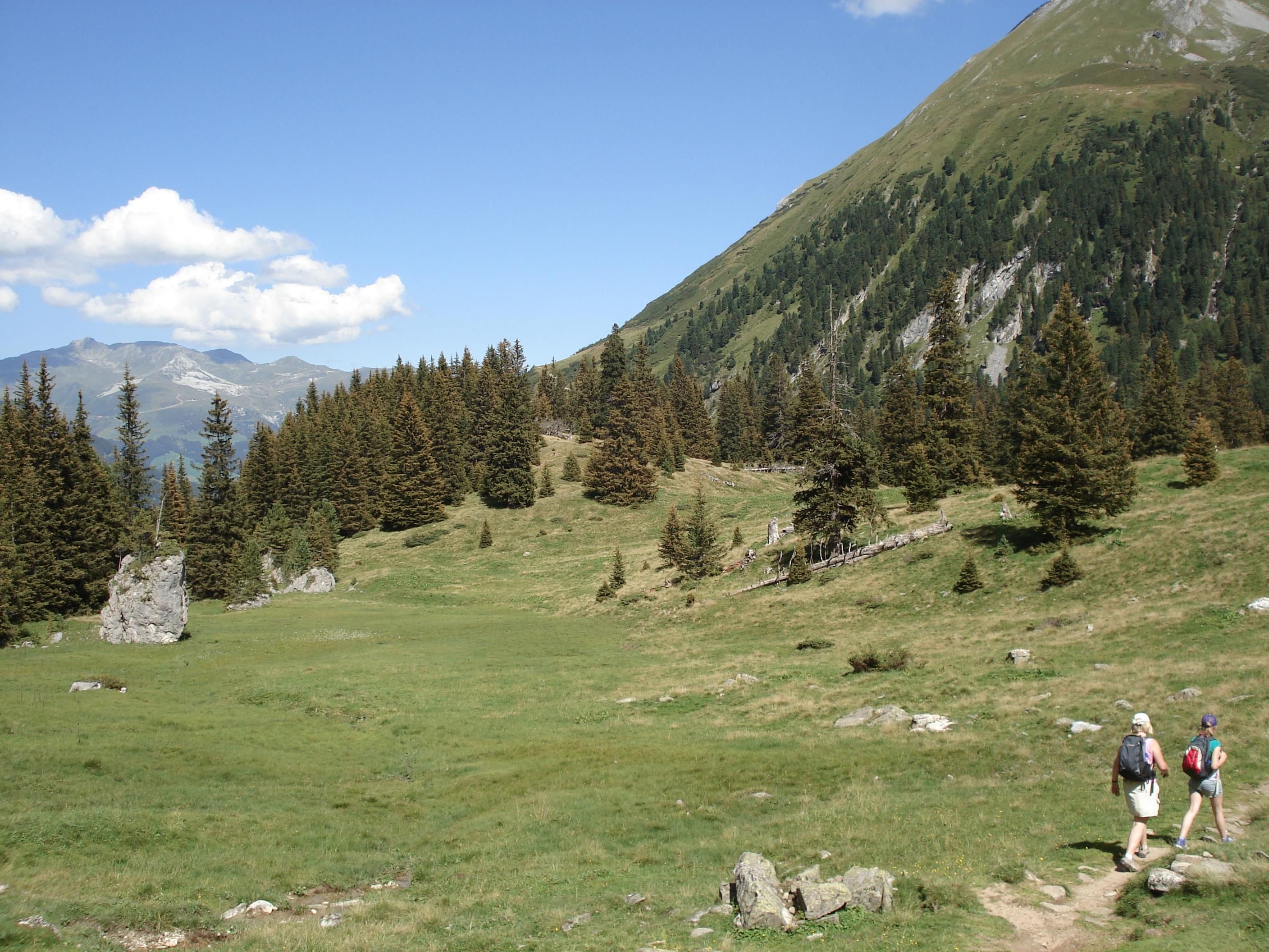
From the bottom station of the glaicer cable car in Hintertux, make your way to the left through the fence and then on the right via the broad path (no. 16) until reaching the bridge. Cross the stream and turn right following the winding path up to the so-called Hagl and then along the stone wall at the edge of the gorge until you come to the beautiful valley basin Waldeben. Wonderful view onto the glaciers and the waterfalls. Here you cross the valley floor and then continue walking to the Sommerbergalm in steep windings (path no. 16), enjoying the beautiful alpine flora!


 Olpererhütte - Furtschaglhaus")
 Friesenberghaus - Olpererhütte")
 Furtschaglhaus - Berliner Hütte")

")

