Mountain hikes Hiking tour to Zupalsee Hütte 2.350m

Virgen in Osttirol / Venedigergruppe
Difficulty ratings: medium
Route length: 14.9 km
Duration: 8:40 h

Hiking tour to Zupalsee Hütte 2.350m

Tour information

  • Requirement: medium
  • Length: 14.9 km
  • Duration: 8:40 h
  • Elevation uphill:1,250 hm
  • Elevation downhill:1,260 hm
Highest point2,340 m

Starting point

Parkplatz Würfelehütte 1.100m

Finishing point

Parkplatz Würfelehütte 1.100m
  • Fitness level 3 / 6
  • Technique 3 / 6

Best time of year

  • January
  • February
  • March
  • April
  • May
  • June
  • July
  • August
  • September
  • October
  • November
  • December
Source: Nationalparkregion Hohe Tauern Osttirol

Description

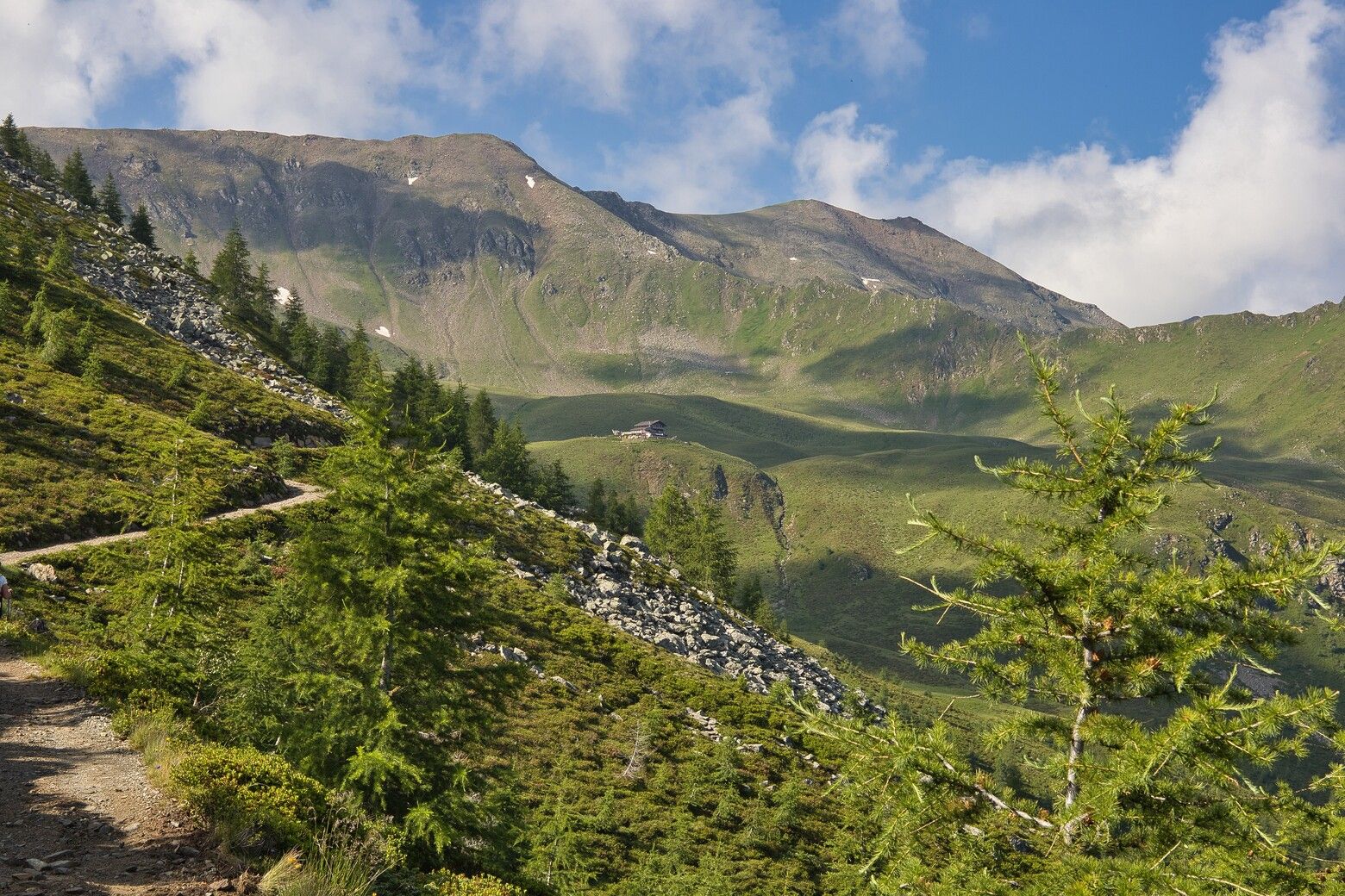
The starting point for the hiking tour to the hut Zupalseehütte is the parking place Würfelehütte at the so-called "Virger Tratte".
For the ascent hikers are offered two different options. Either you follow the road, which leads away from the left side of the parking place for about 5 hours. Or you take the more demanding path through the forest, for which you will need about 3,5 to 4 hours.

For those who prefer a more moderate hike, it is recommended to take the hut taxi to the hut Wetterkreuzhütte. Then walk along a wide hiking trail in the direction of the hut Zupalseehütte. The hike from the Wetterkreuzhütte to the Zupalseehütte takes about 1,5 hours.

Nearby huts and mountain restaurants

Getting here

  • Arrival by public transport

    Virgen Kirche

  • Parking

    Parking place Würfelehütte

More tours in the surrounding area

  • Venediger altitude trail

    Difficulty: difficult
    Length: 55.5 km Duration: 27:00 h Elevation uphill: 3,915 m
  • Lasörling altitude trail

    Difficulty: medium
    Length: 57.0 km Duration: 25:00 h Elevation uphill: 3,740 m
  • Figerhorn

    Difficulty: difficult
    Length: 6.5 km Duration: 6:00 h Elevation uphill: 807 m
  • Rotenkogel

    Difficulty: difficult
    Length: 3.9 km Duration: 3:00 h Elevation uphill: 383 m
  • Umbal waterfalls nature force trail

    Difficulty: easy
    Length: 5.8 km Duration: 2:30 h Elevation uphill: 250 m
  • Lasörling 3.098m

    Difficulty: difficult
    Length: 21.9 km Duration: 12:00 h Elevation uphill: 1,940 m
  • Hike to the Venedigerhaus Innergschlöß

    Difficulty: easy
    Length: 8.5 km Duration: 2:30 h Elevation uphill: 180 m
  • Hike to Neuen Reichenberger Hütte

    Difficulty: medium
    Length: 9.1 km Duration: 9:00 h Elevation uphill: 1,210 m
  • Hiking tour to Lasörlinghütte 2.350m

    Difficulty: medium
    Length: 14.6 km Duration: 7:10 h Elevation uphill: 1,080 m
  • Hike to Kalser Tauernhaus

    Difficulty: medium
    Length: 12.2 km Duration: 4:00 h Elevation uphill: 244 m
  • Hiking tour to Neue Sajathütte 2.600m

    Difficulty: medium
    Length: 10.3 km Duration: 6:50 h Elevation uphill: 1,080 m
  • Badener Hütte

    Difficulty: difficult
    Length: 23.2 km Duration: 11:30 h Elevation uphill: 1,750 m
  • Lucknerhaus - Stüdlhütte

    Difficulty: medium
    Length: 9.3 km Duration: 5:30 h Elevation uphill: 862 m
Newsletter

The mountain is calling? So does our newsletter!

In our monthly newsletter we reveal the best holiday tips for Tyrol.