Mountain hikes Hike to the Walder summit cross

Arzl im Pitztal /
Difficulty ratings: medium
Route length: 15.6 km
Duration: 5:40 h

Hike to the Walder summit cross

Tour information

  • Requirement: medium
  • Length: 15.6 km
  • Duration: 5:40 h
  • Elevation uphill:1,080 hm
  • Elevation downhill:1,080 hm
Highest point2,268 m

Starting point

Car park Galtwiesen

Finishing point

Car park Galtwiesen

Best time of year

  • January
  • February
  • March
  • April
  • May
  • June
  • July
  • August
  • September
  • October
  • November
  • December

Trail condition

forest path, track

Description

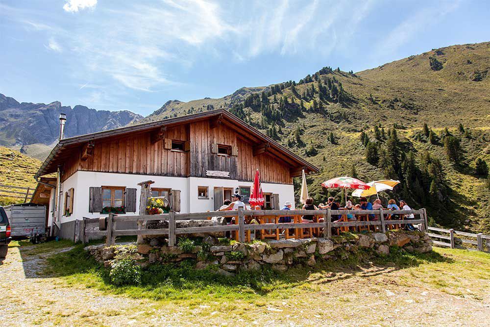
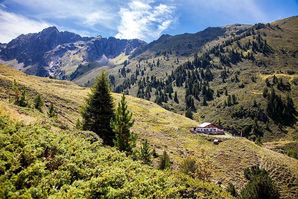
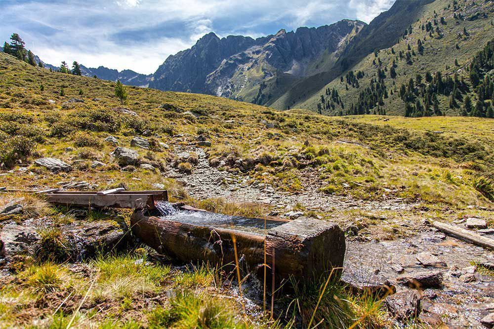
Starting point: car park Galtwiesen. A forest path leads to the catered mountain hut Vordere Wenner Almhütte (approximately 1 hr). Continue over the brook to the next catered mountain hut, the Hintere Wenner Almhütte (approximately 1 hr walking time from the first to the second hut). Following on from there turn left to take a beautiful steep path to the Jägerhütte [hunting lodge] and continue to the Walder summit cross.

More tours in the surrounding area
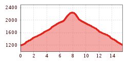
Newsletter

The mountain is calling? So does our newsletter!

In our monthly newsletter we reveal the best holiday tips for Tyrol.