
Opening hours:Today closed
Place:Arzl im Pitztal
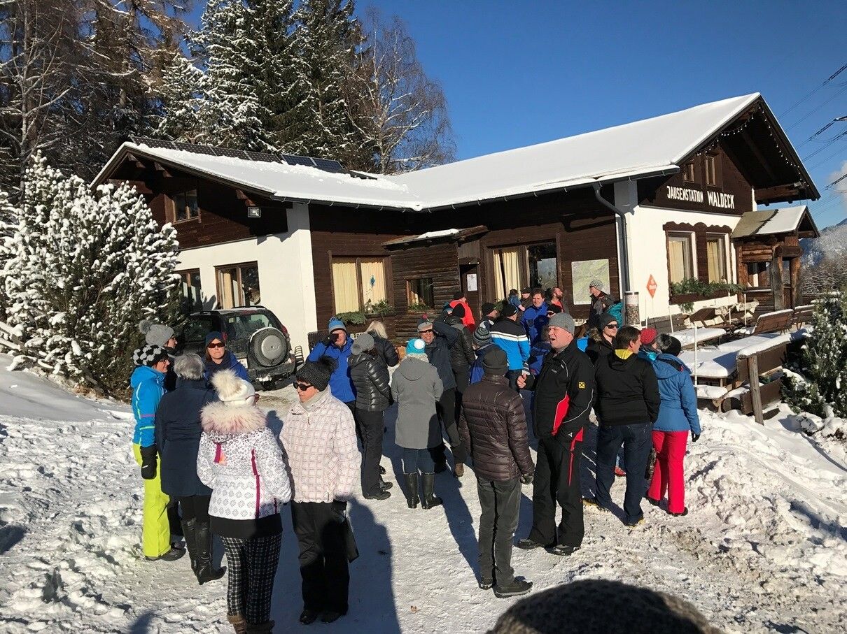
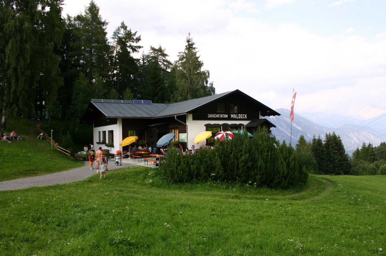
:Restaurant, Alpine pasture / hut / mountain restaurant
Hike to Jausenstation Waldeck
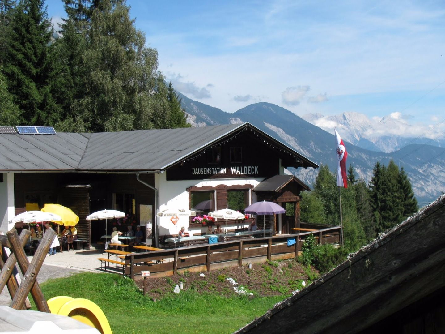
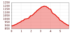
Starting point: Church in the hamlet of Wald. Follow the path to the left of the church until you get to a fork, take a right and continue on a forest track for approximately 300 m. Continue on the moderately steep Salmersteig through a spruce forest. Just before you reach your destination (Jausestation Waldeck) enjoy magnificent views of a suspension bridge and Imst. To return to the start, cross the road and turn left.


